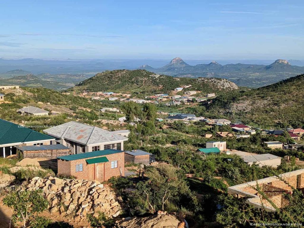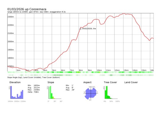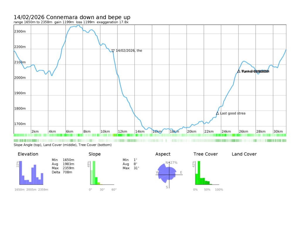
Another never-to-be-forgotten Nyanga day – going up Mount Muozi. I got a shika-shika from the rank in Nyanga to Chiramba which is where the road goes up to Bende Gap. Frustrated 2 hours in the sun before a fellow traveller found us a lift on an empty lorry going up to collect timber. The driver had just picked up his morning drinks and mixers in the local shop – if you know you know, unfortunately. Near the top they stopped to pick up water from a stream – a warning that there was no good water at Bende Gap.
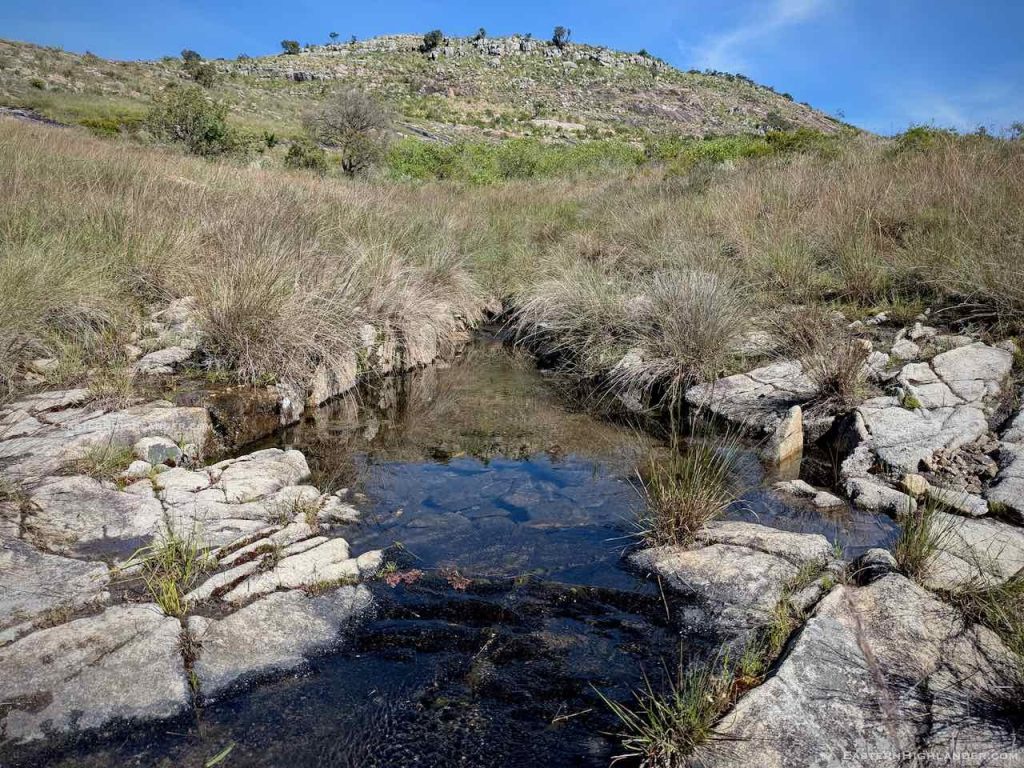
From Bende Gap i just started walking towards Bende itself – no lifts forthcoming. So that was a good couple of hours slog. There the shop owner gave me some of his water and I filled up with + 4 litres in preparation for the walk to the campsite and potentially the next day. I had already found out that there was no water at the phone mast (booster) mini-compound for the collectors of pine resin, they have to walk down to a stream themselves.
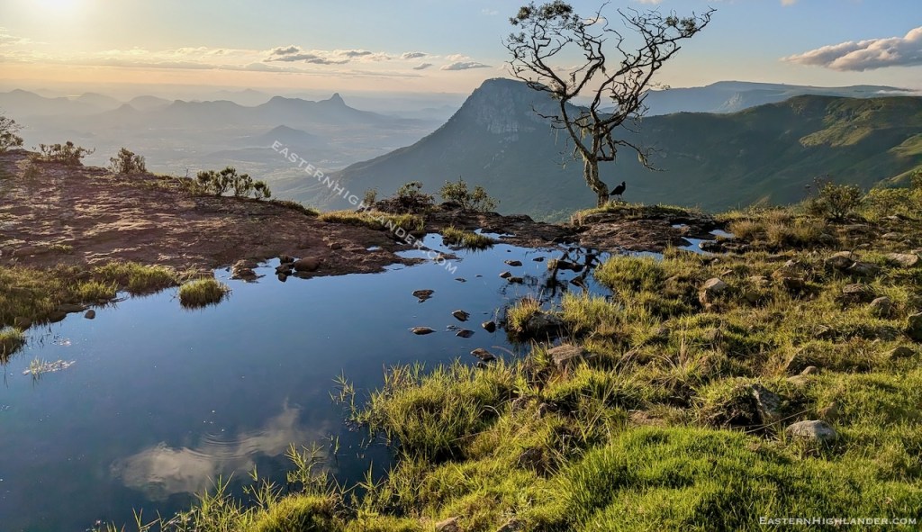
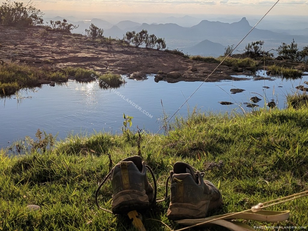
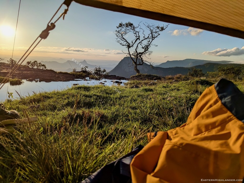
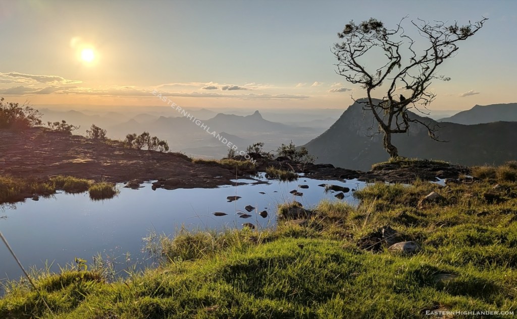
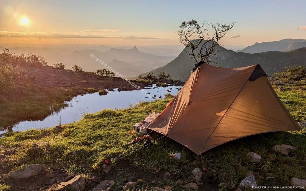
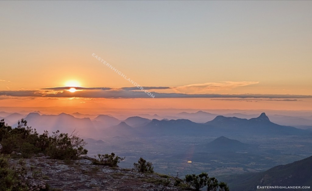
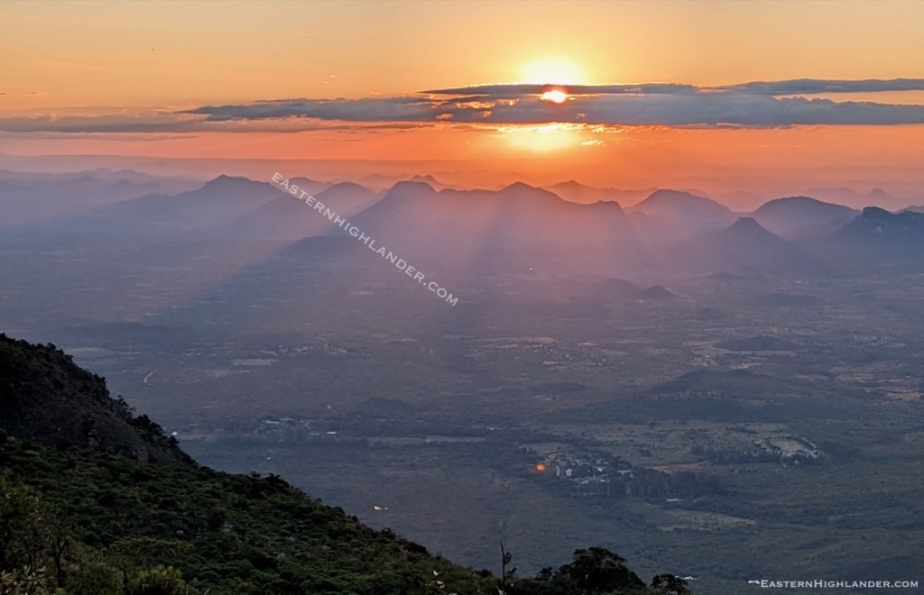
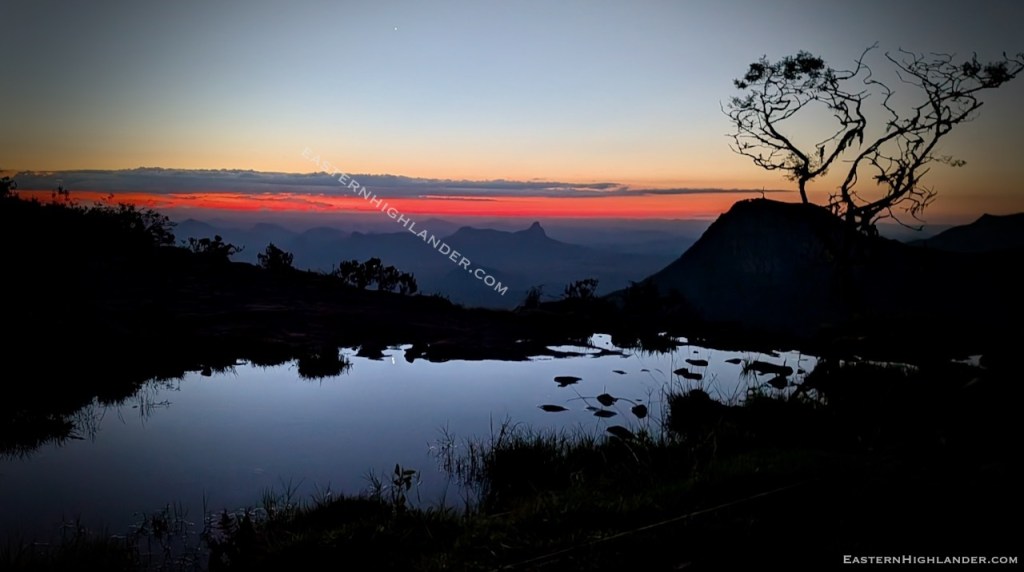
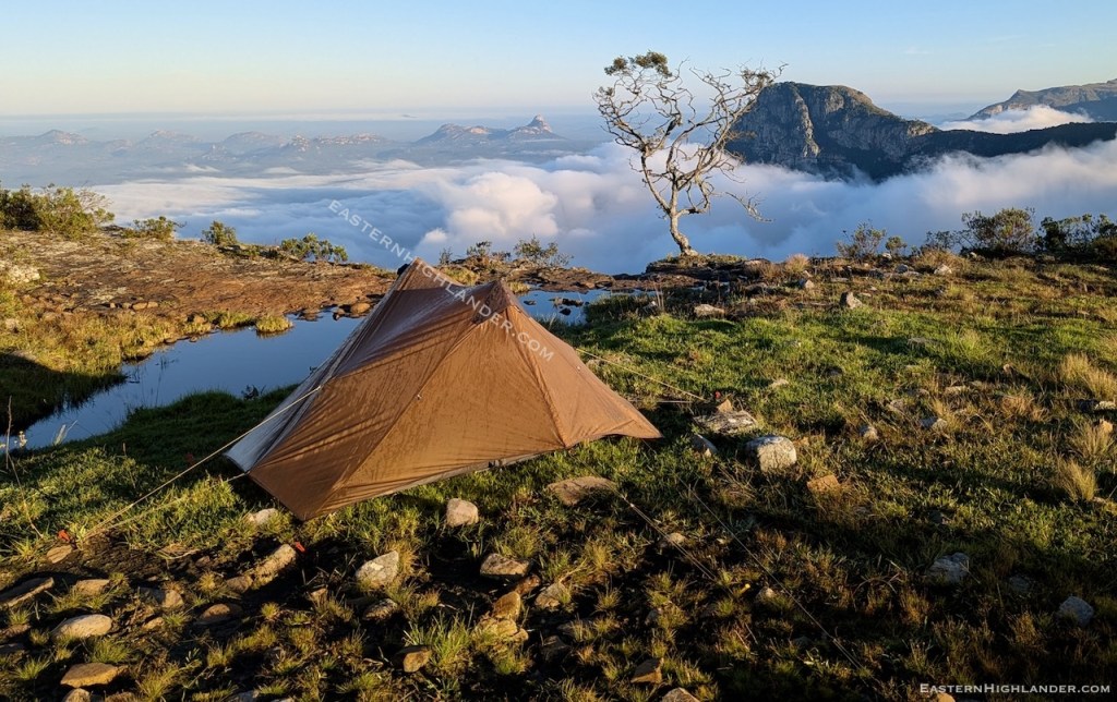
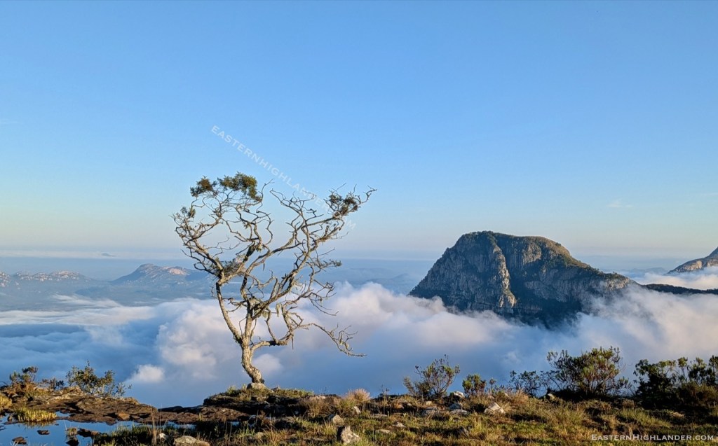
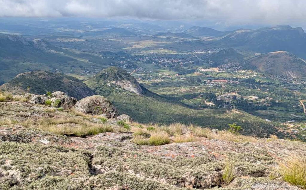
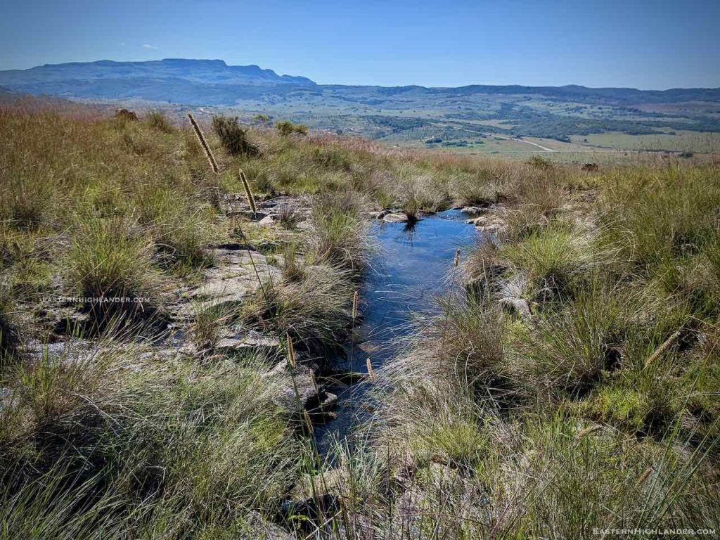
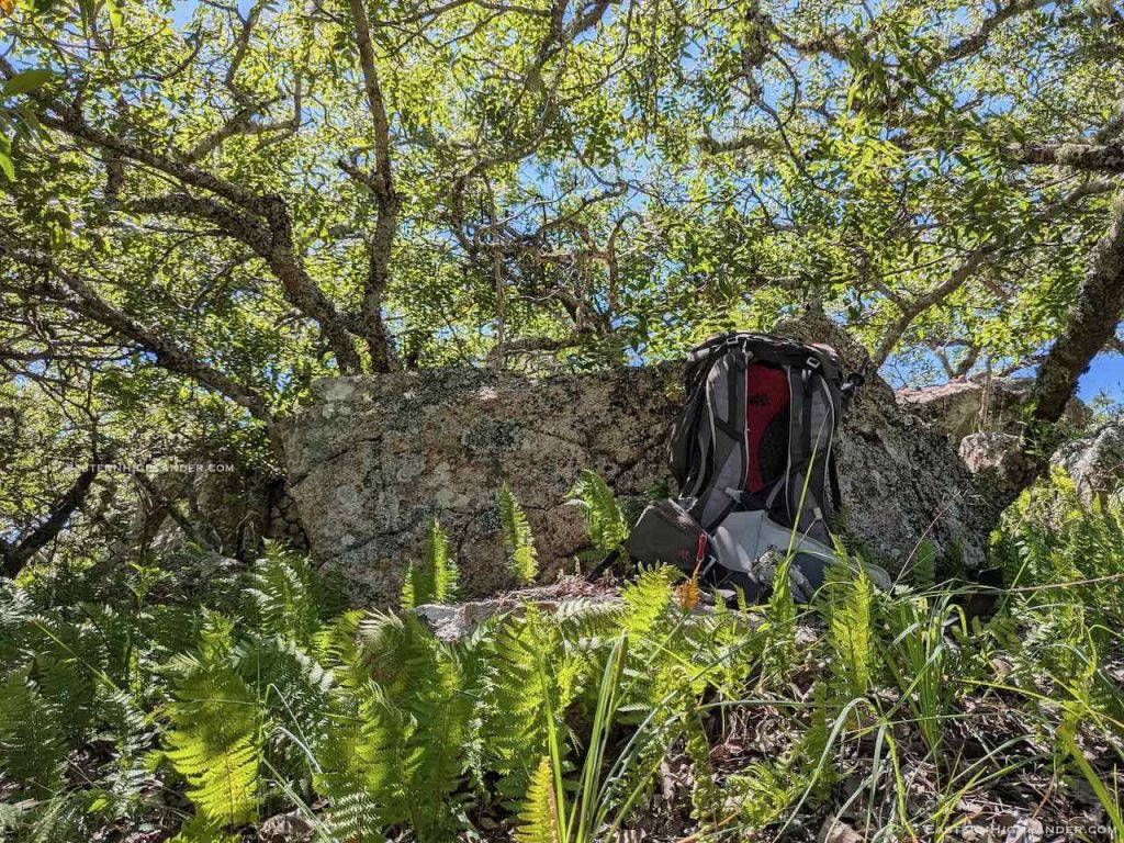
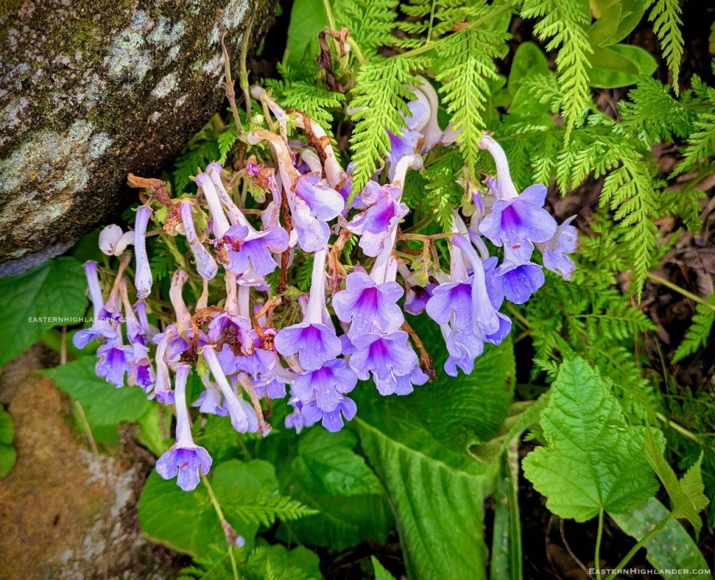
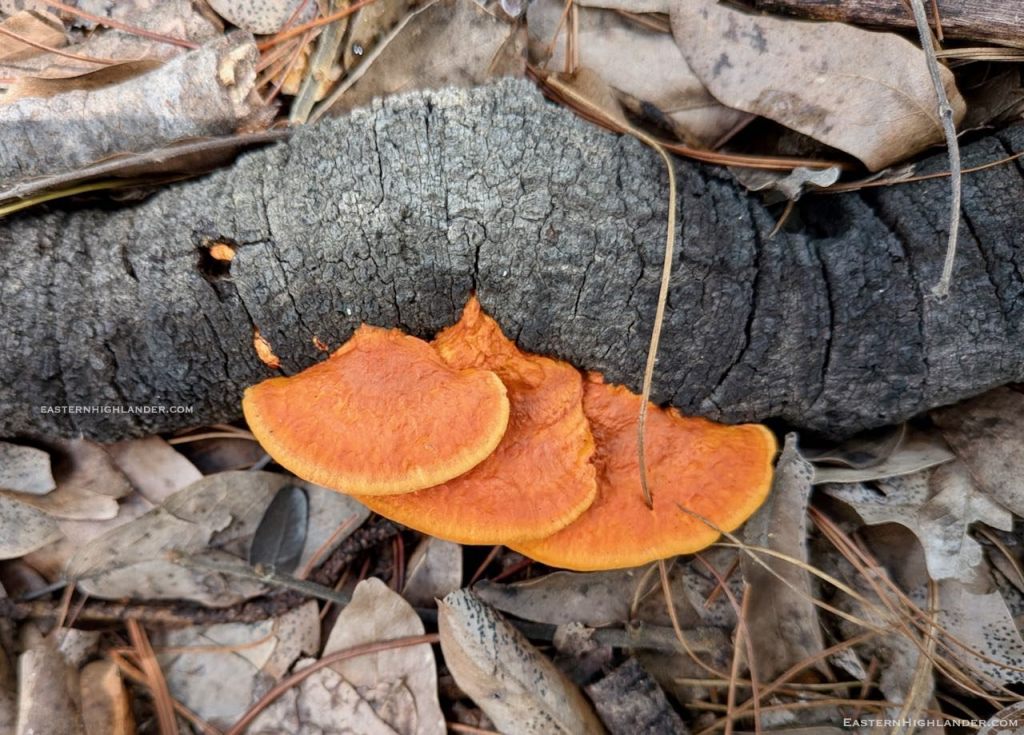
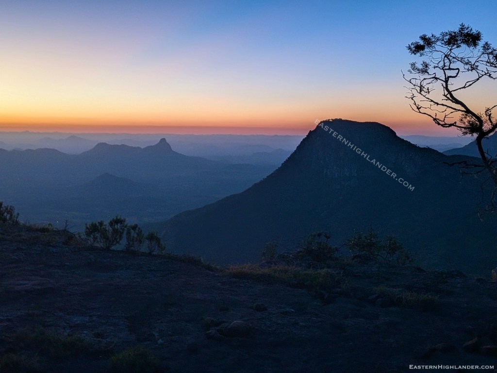
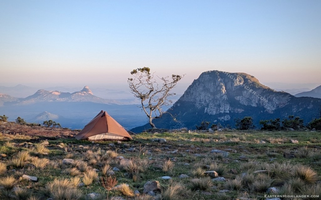
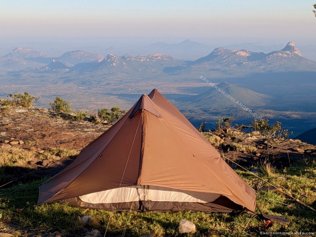
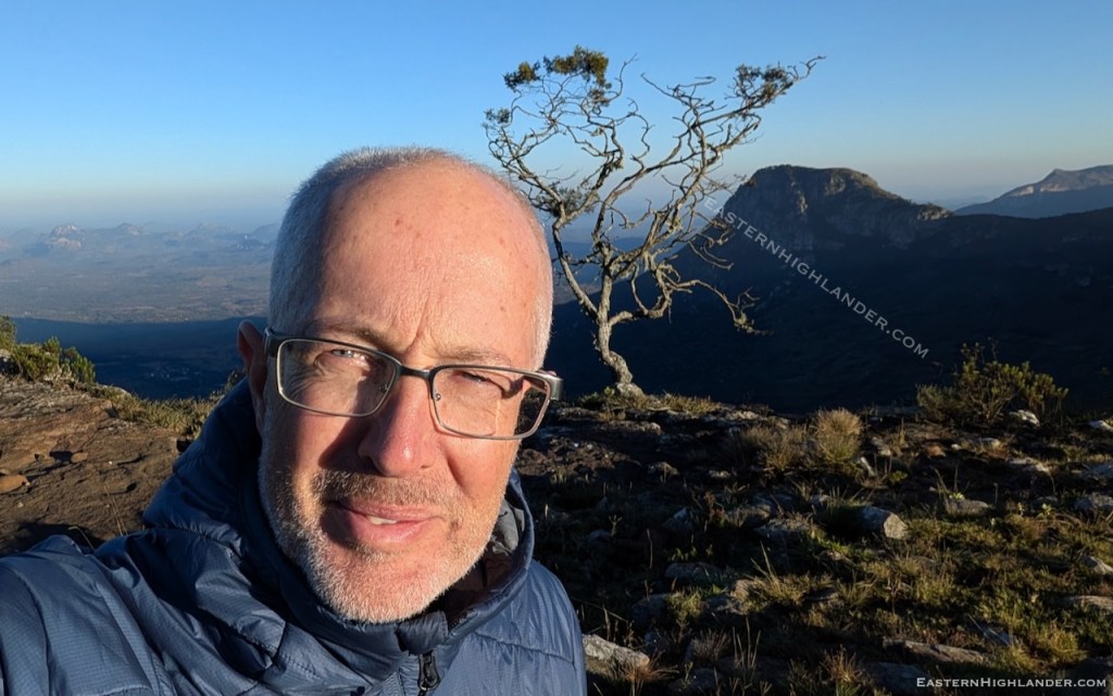
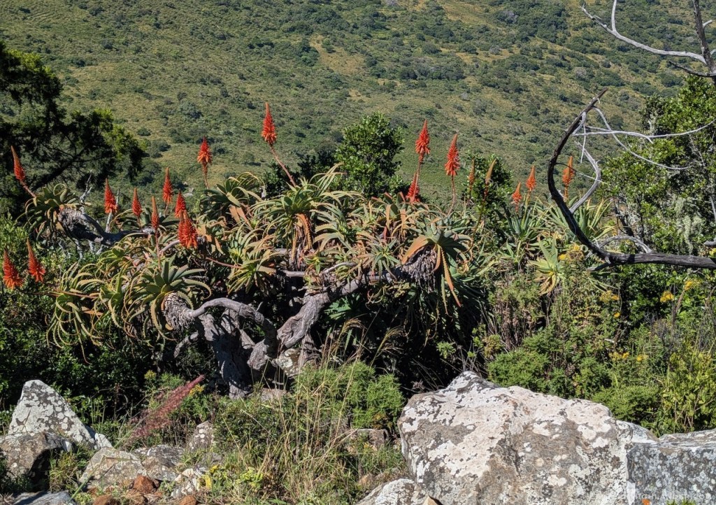
Anyhoo, I got to the magical campsite as it was getting dark and found a dry stream! The start of water pressure. A few photos and some noodles.
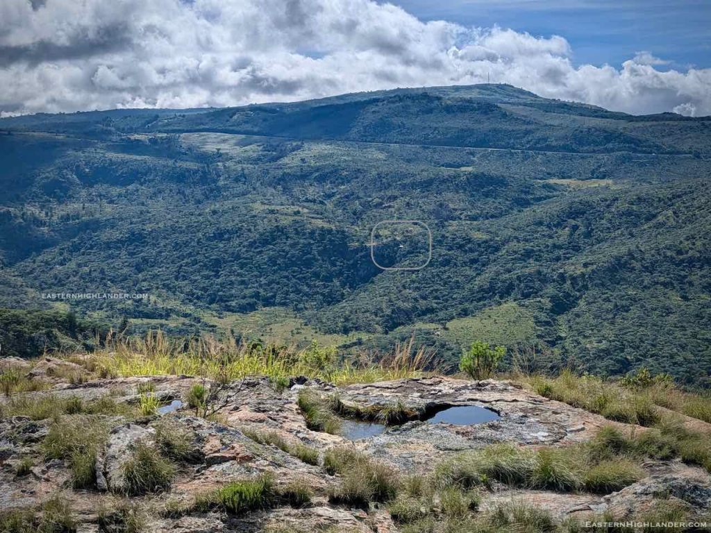
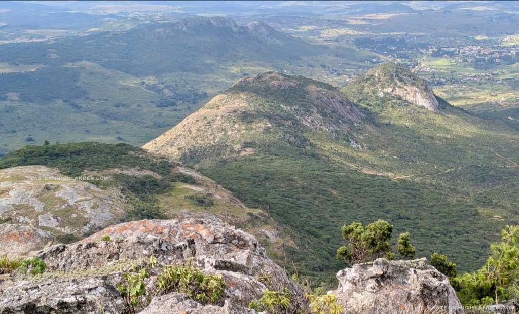
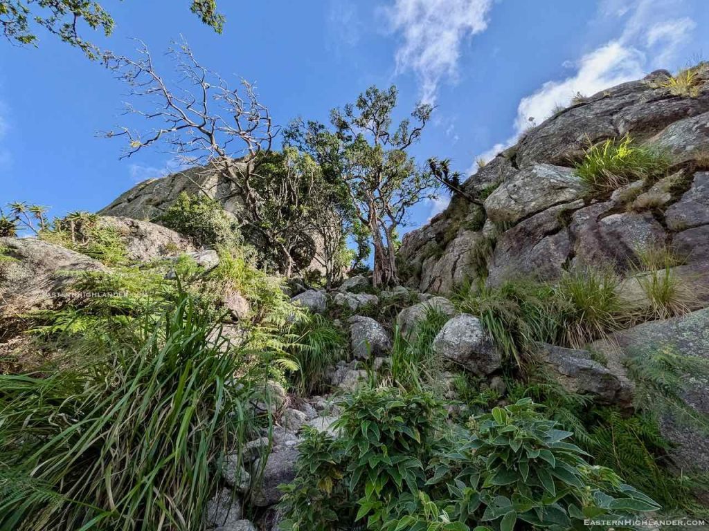
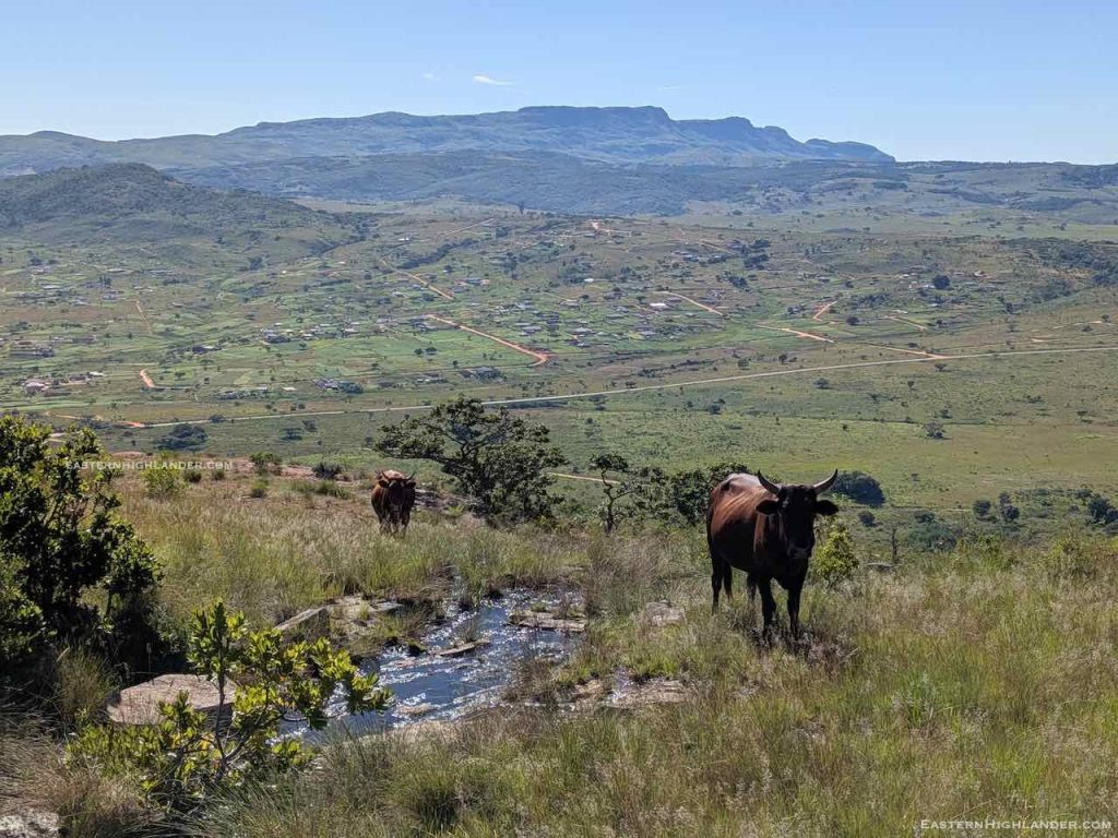
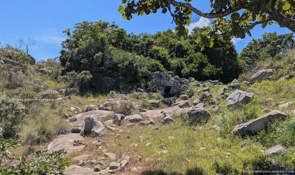
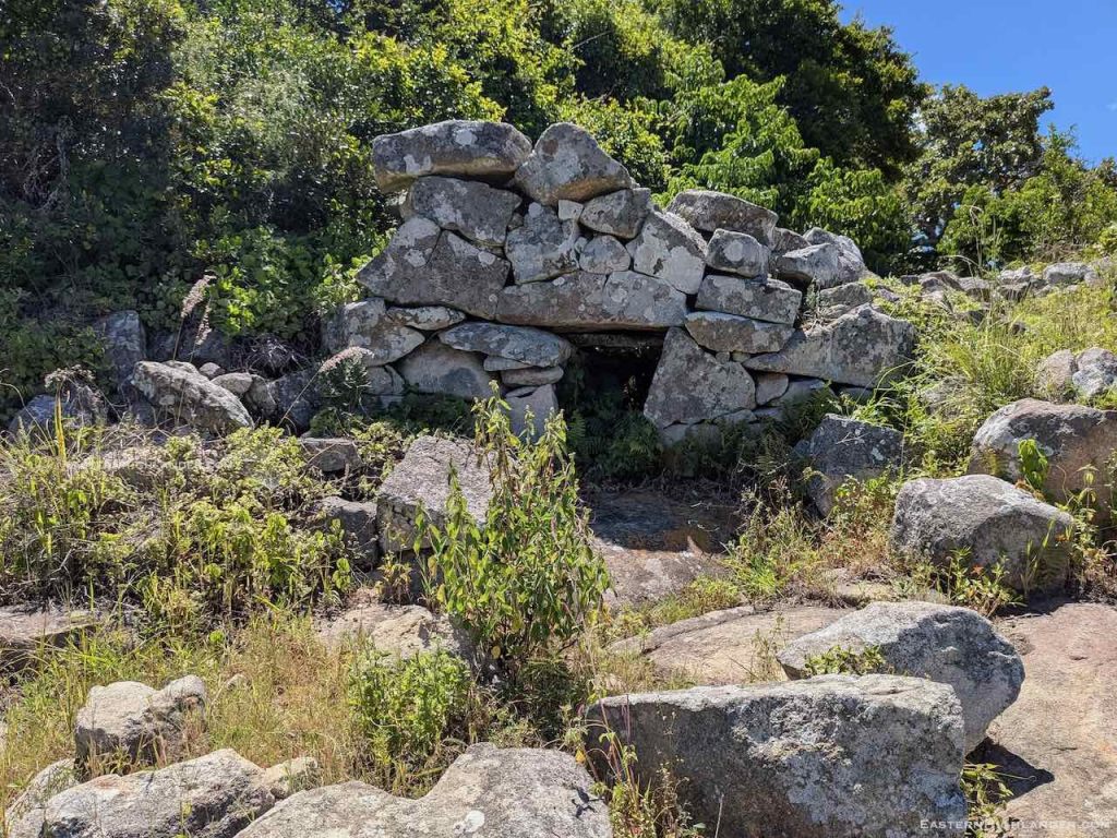
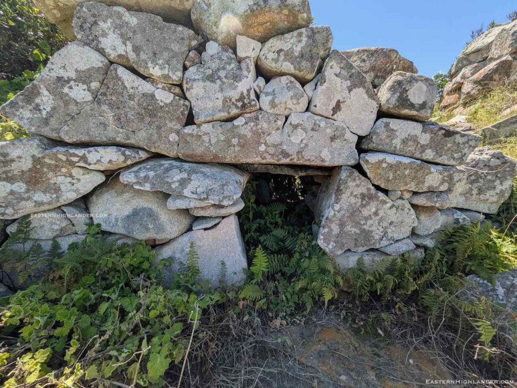
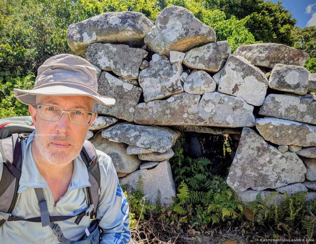
The night was alright and there was little condensation so the next morning was easier than usual in packing up. Followed the fire guard along the edge until I was forced up onto the dirt road to get the the turning point west. Logging trails gave way to a small amount of bushwhacking until I found a hidden stream for a refill back up to 4 litres. Some bothersome walking over stone strewn land, more or less heading where I wanted, to go by sight. A descent towards the saddle with a stop part way to refuel and drink – knowing that would be unlikely once it got serious! There is some interesting living history around this area.
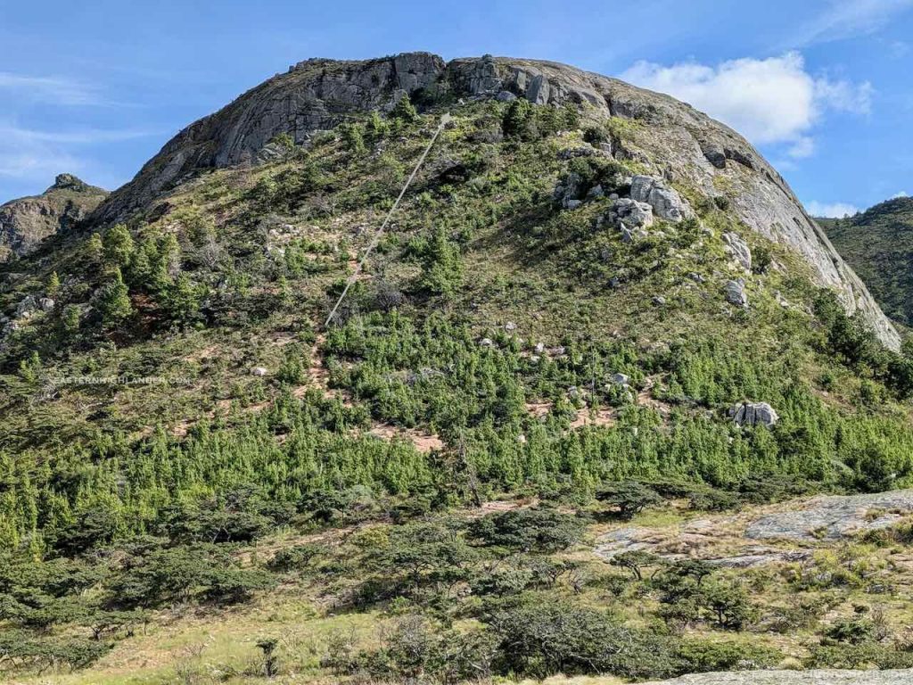
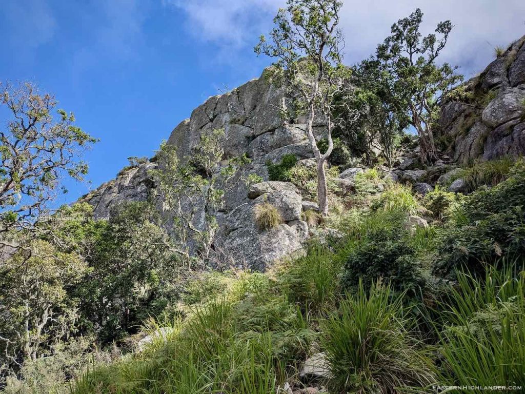
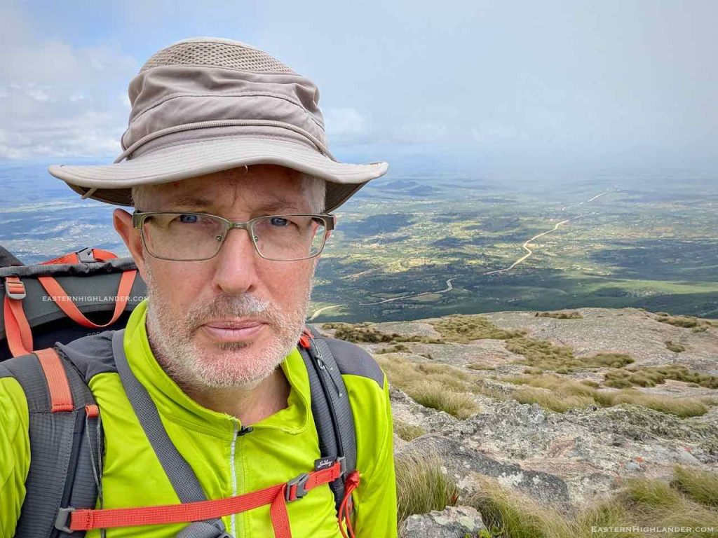
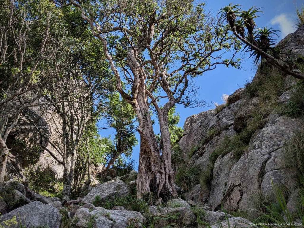
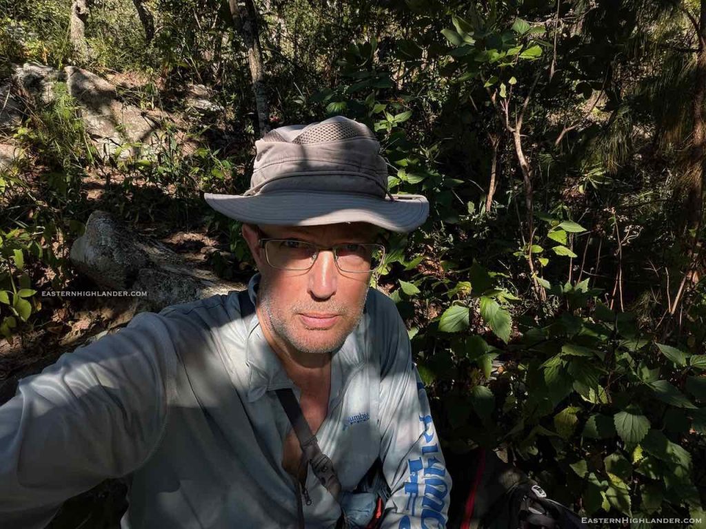
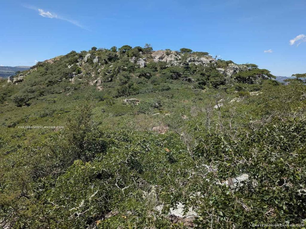
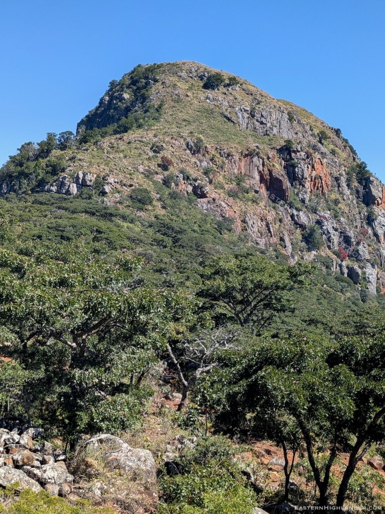
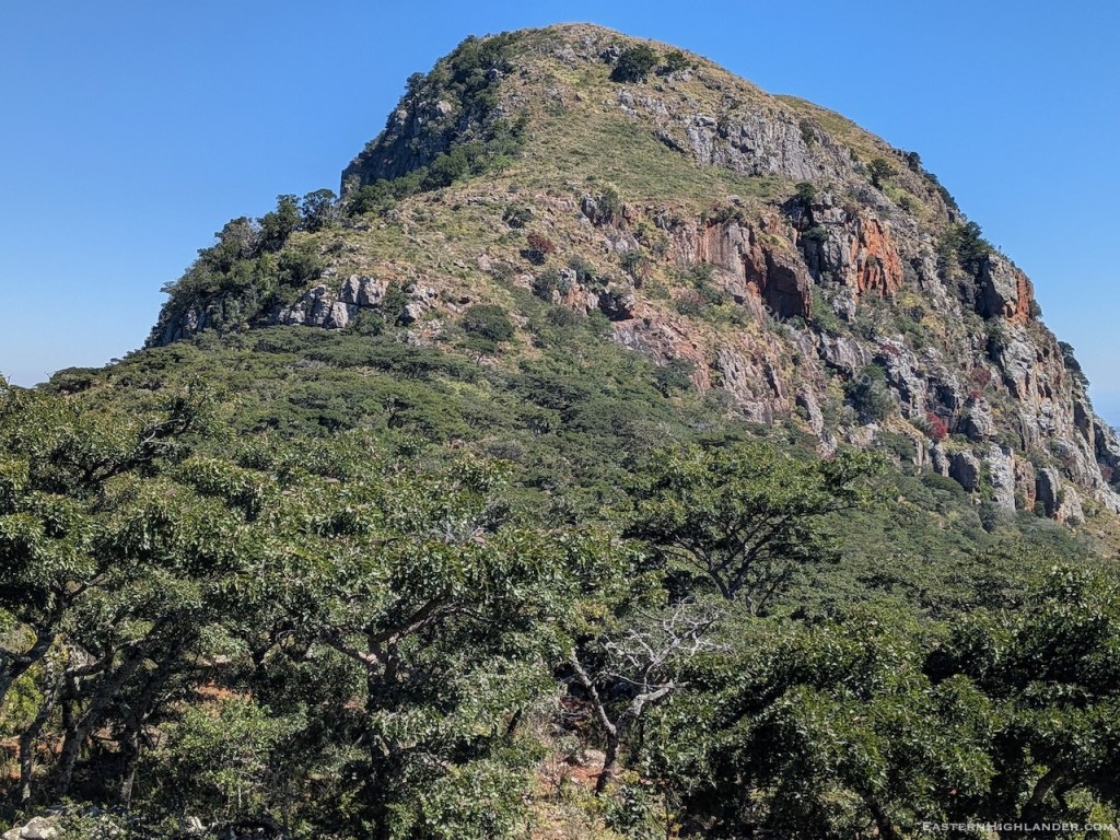
The climb up was almost that, as I was more or less route finding the whole way using the semblance of previous tracks of animals or people, I had to put the trekking poles away to free up my hands; rests, mints and determination did the rest. Oh, and I had my pack the whole time so 15-16kg on my back. And one more thing, the incredible smell of faeces – monkey/baboon.
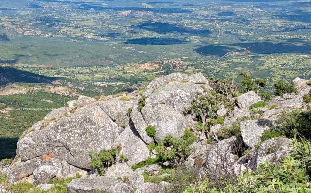
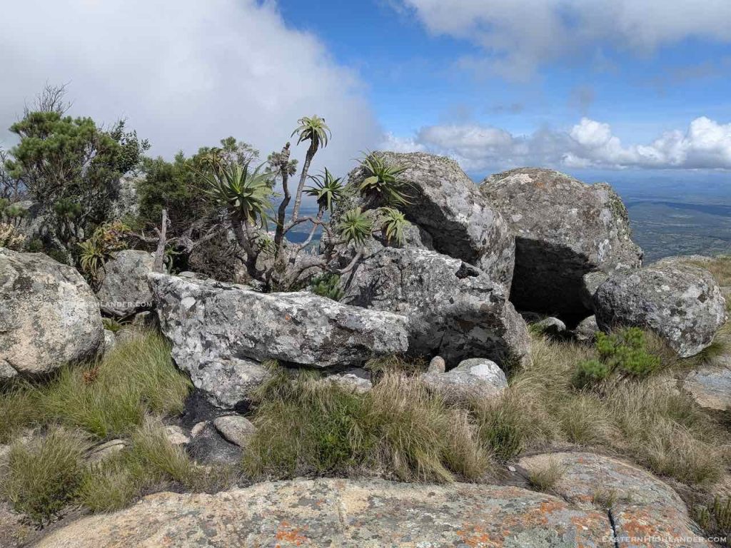
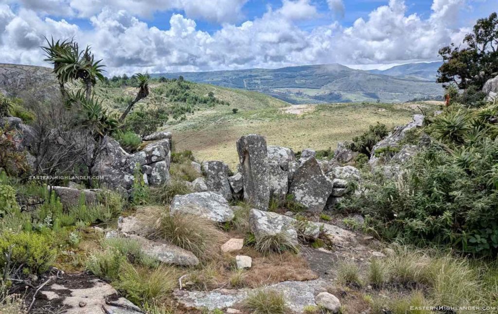
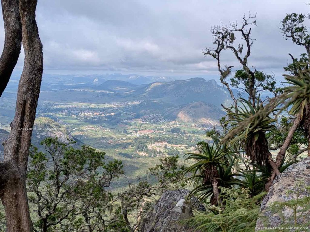
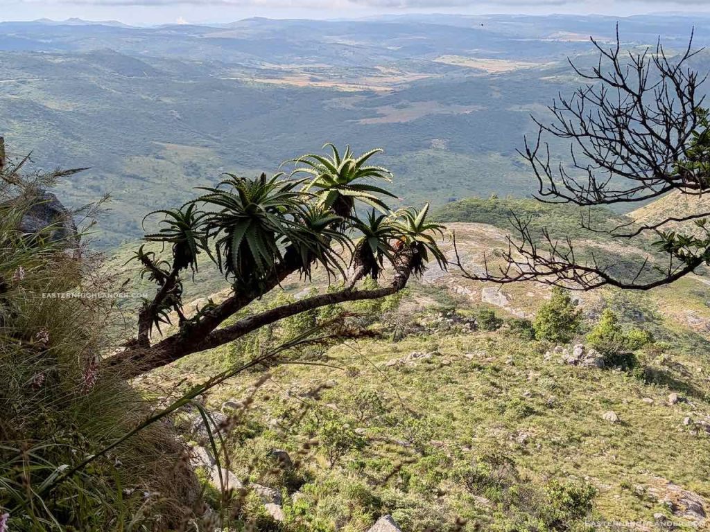
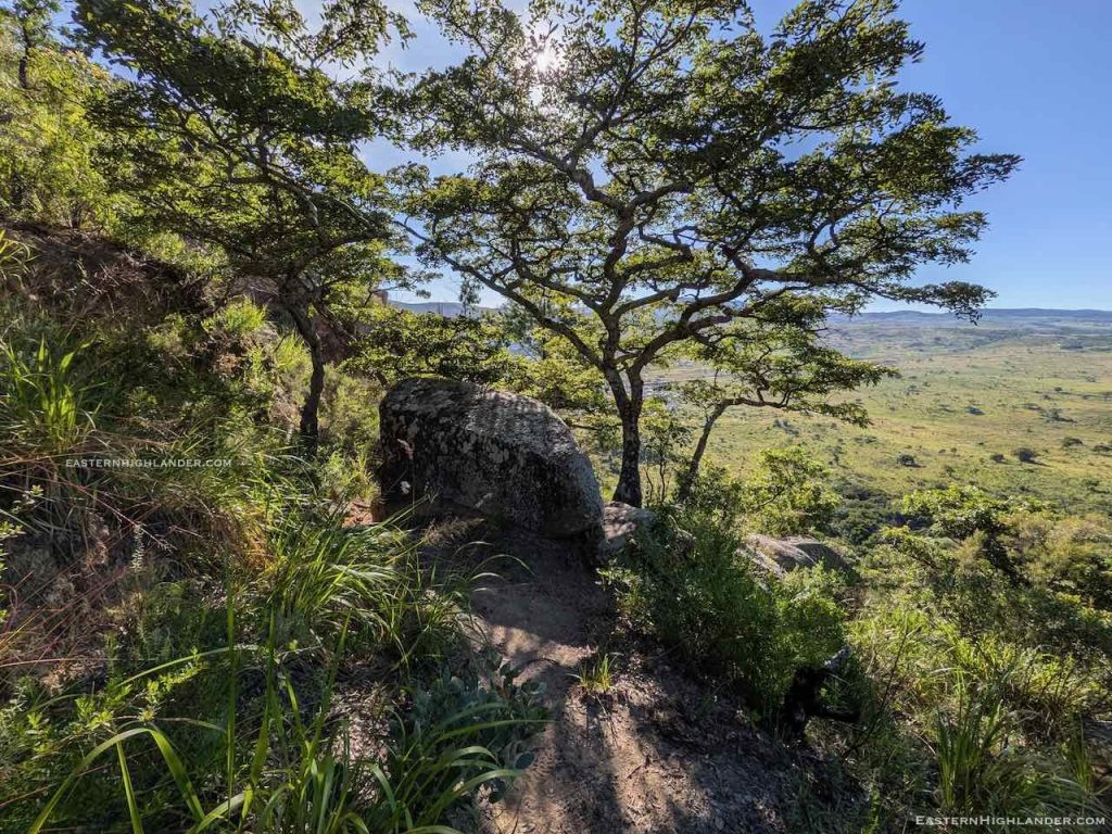
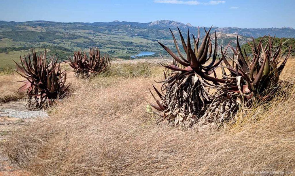
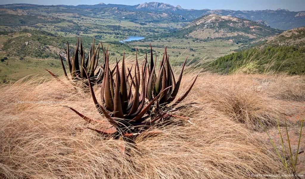
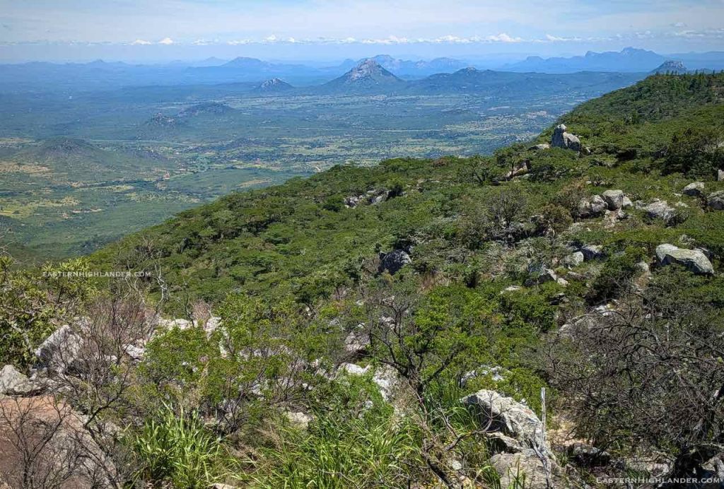
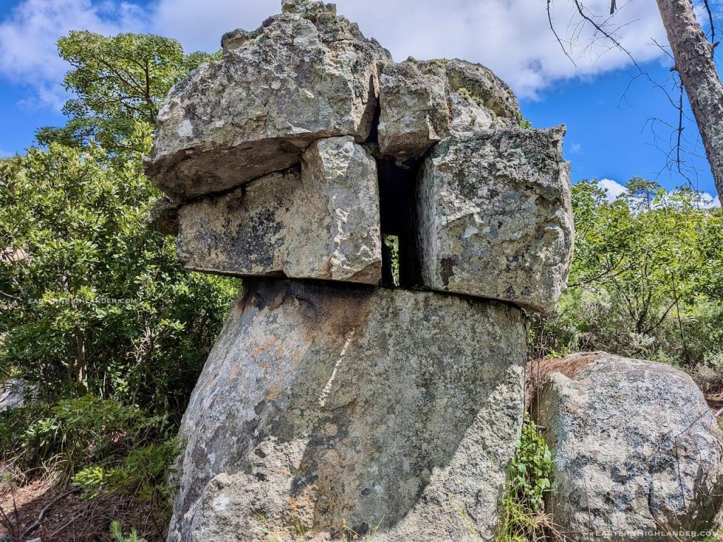
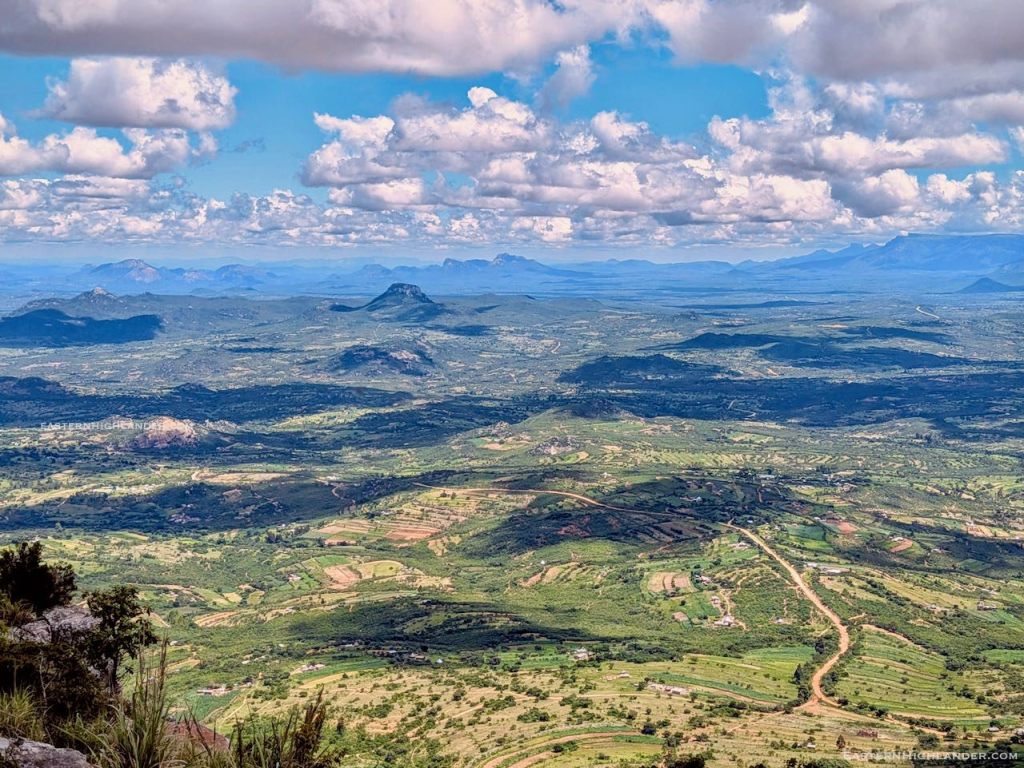
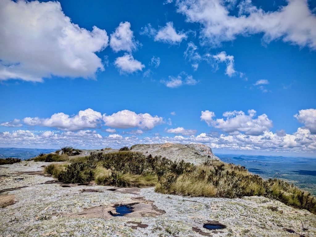
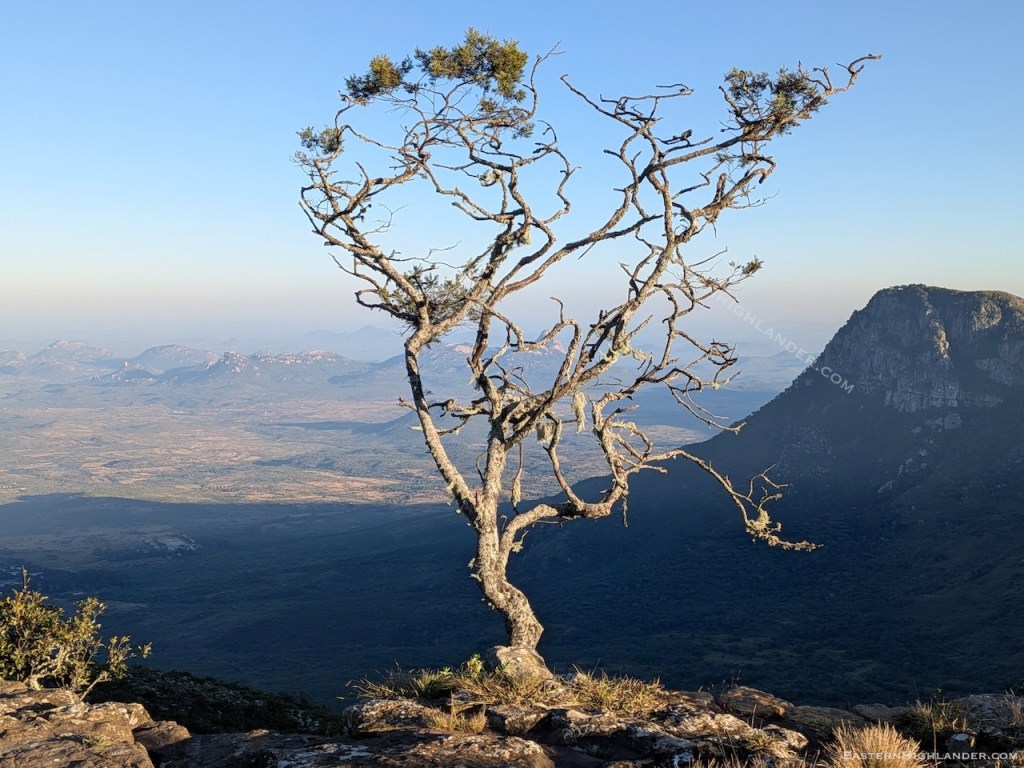
Long, long grass and brush on the top and uneven underfoot – some of it due to overgrown stone work probably. Unless it burns, in a year or two it may well be impenetrable.
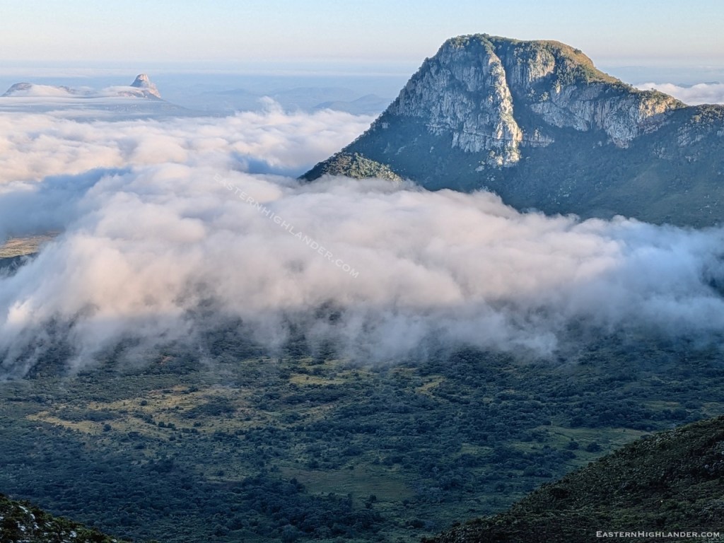
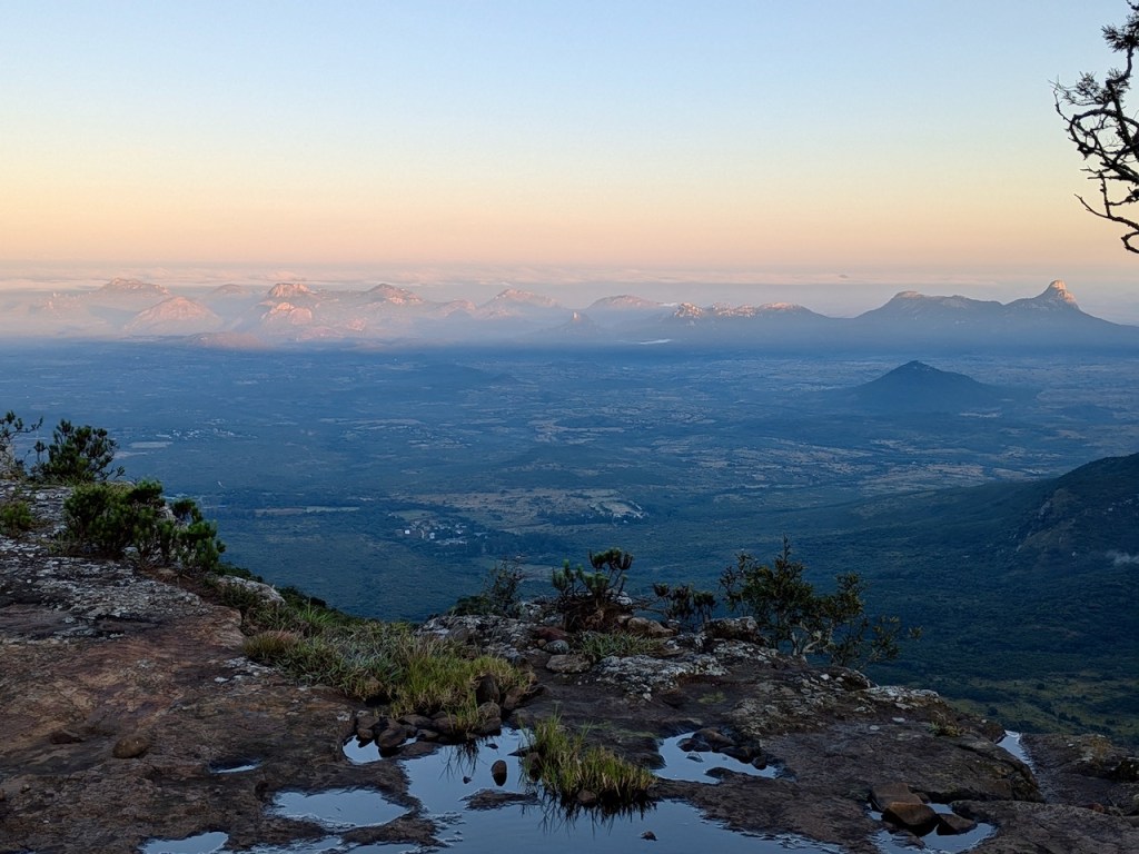
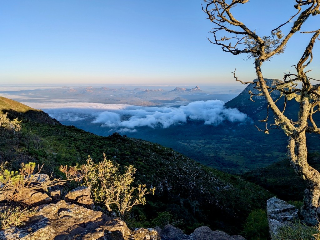
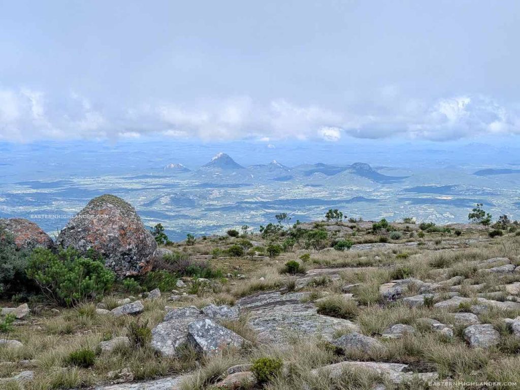
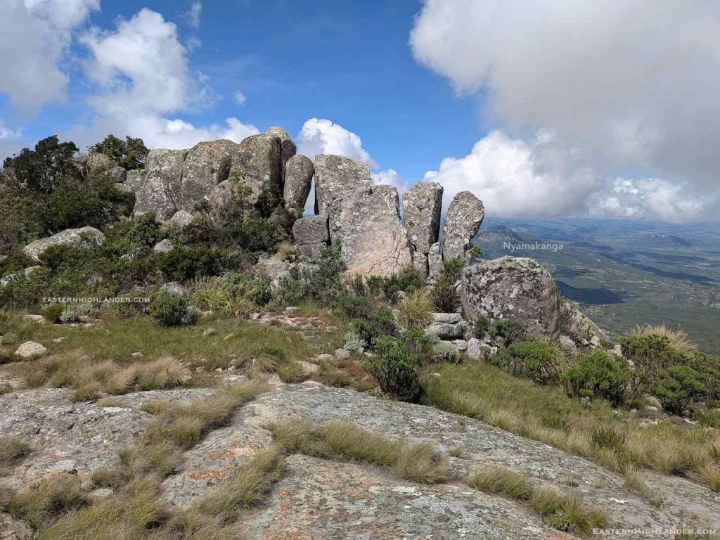
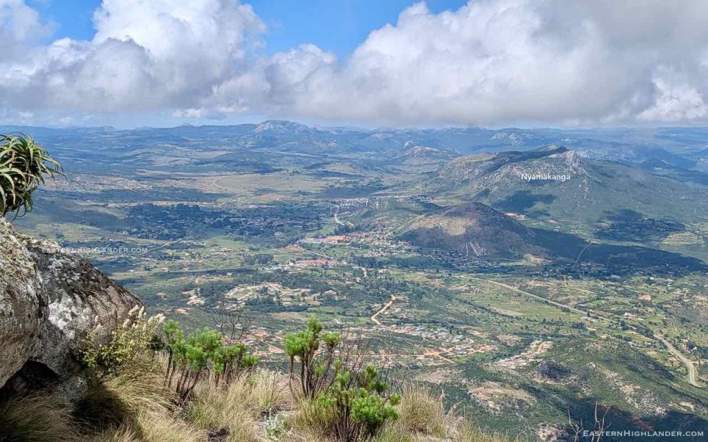
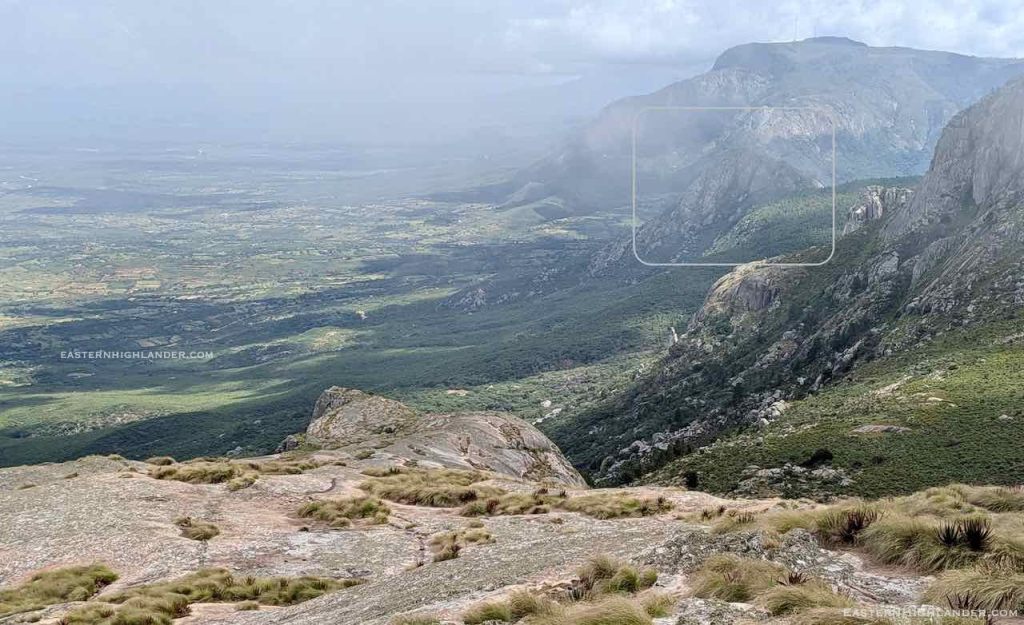
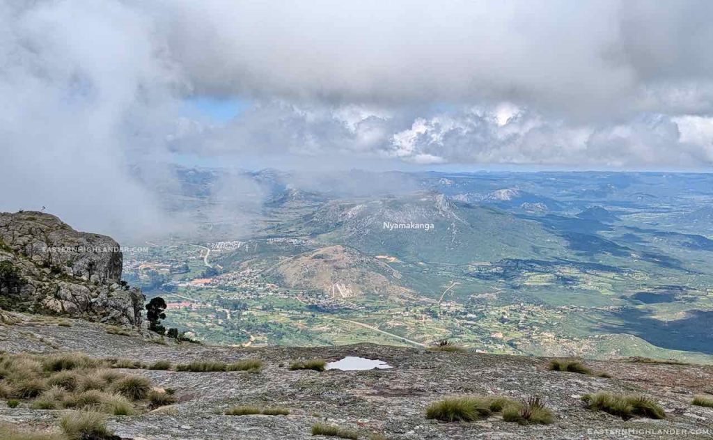
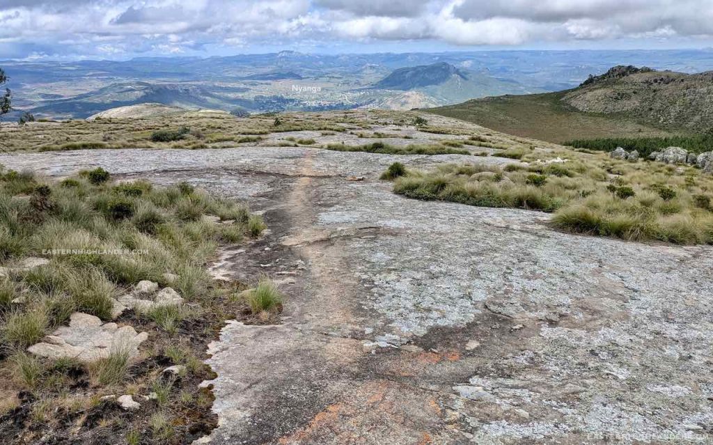
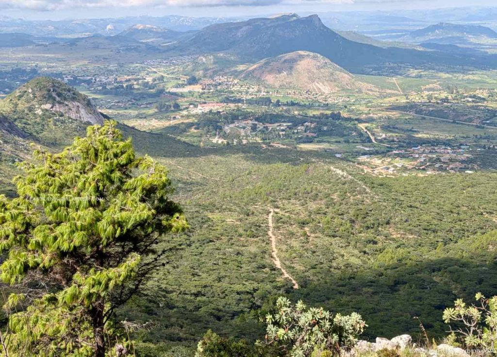
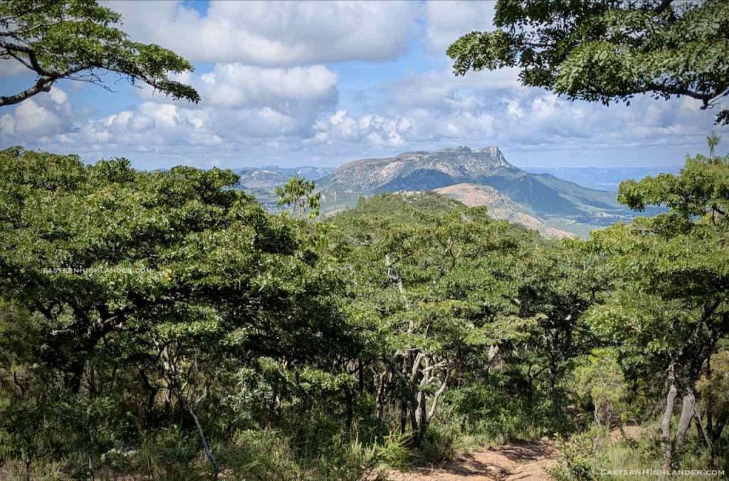
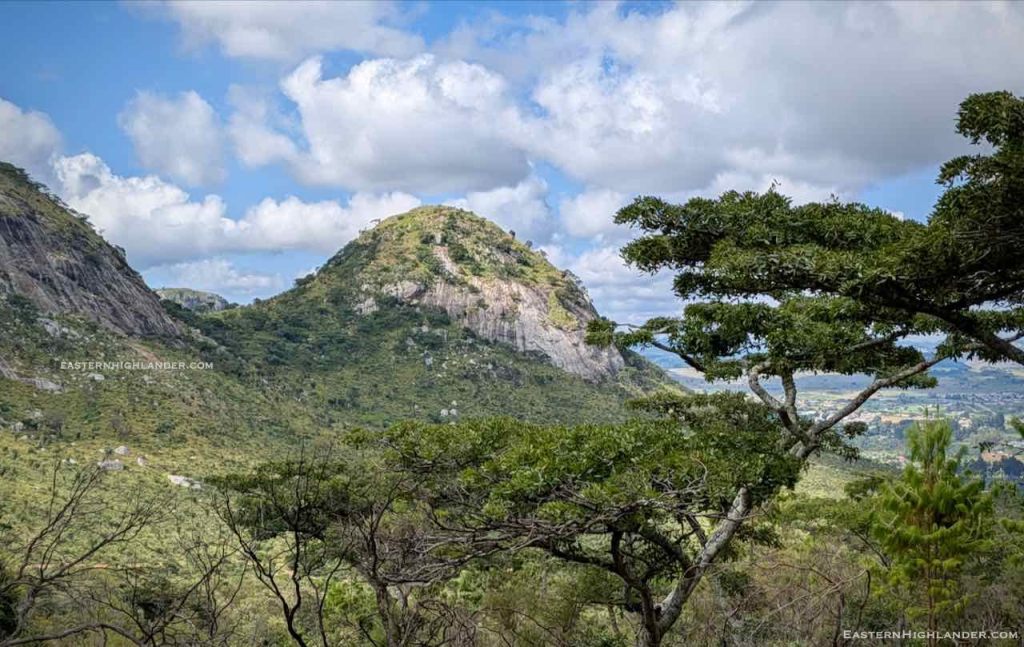
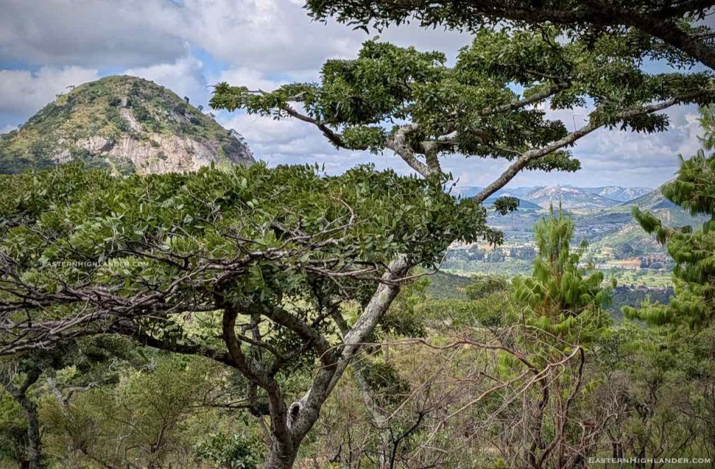
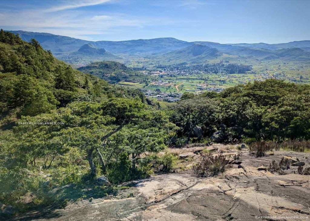
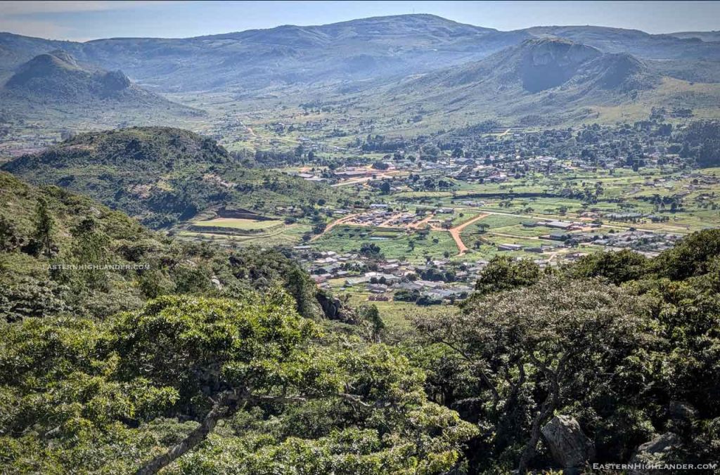
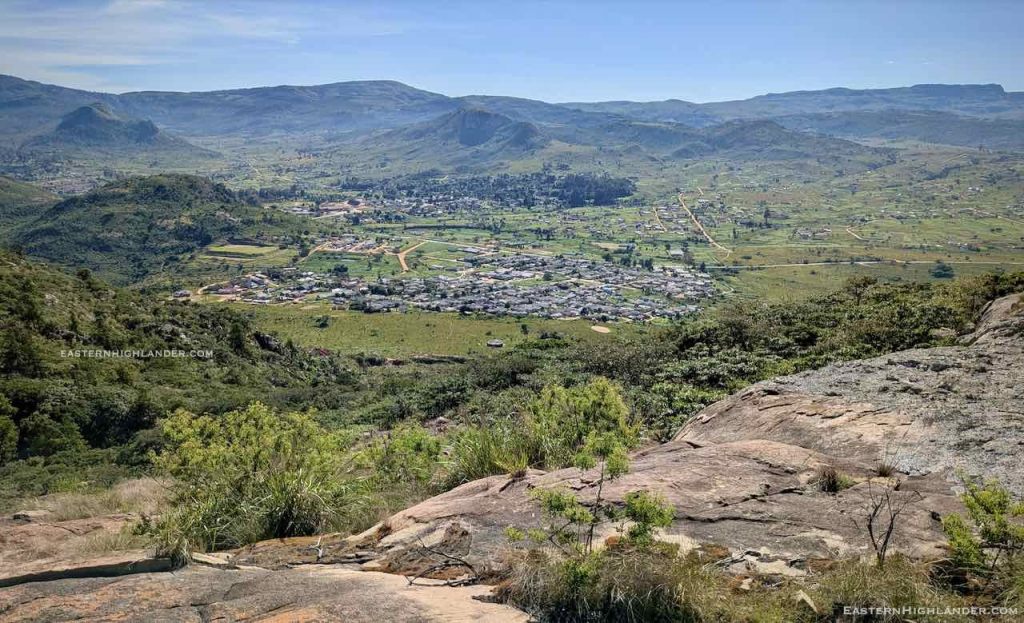
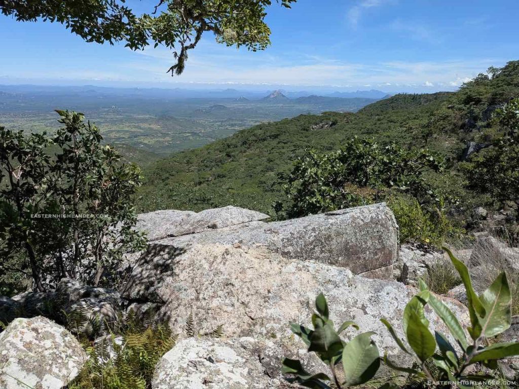
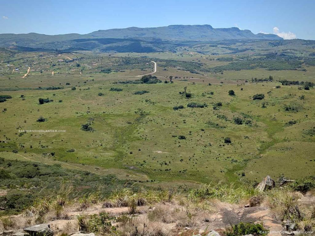
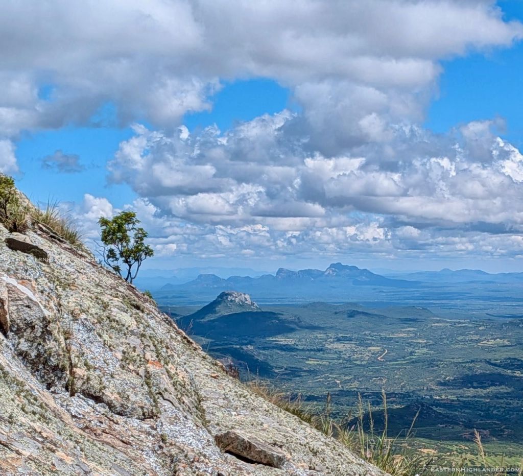
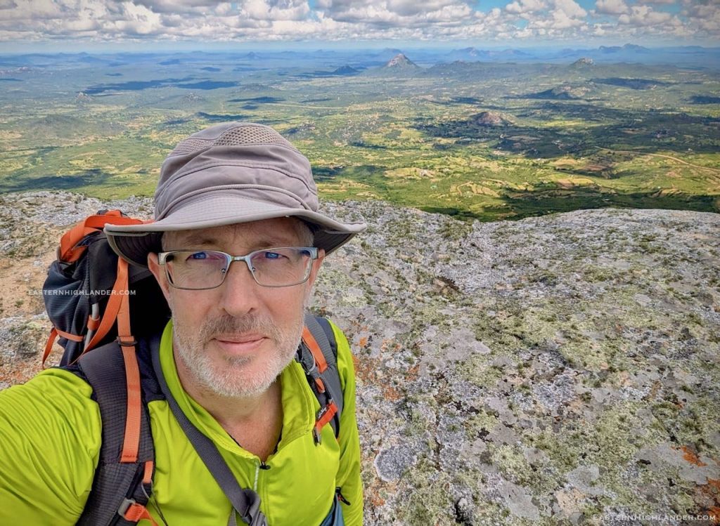
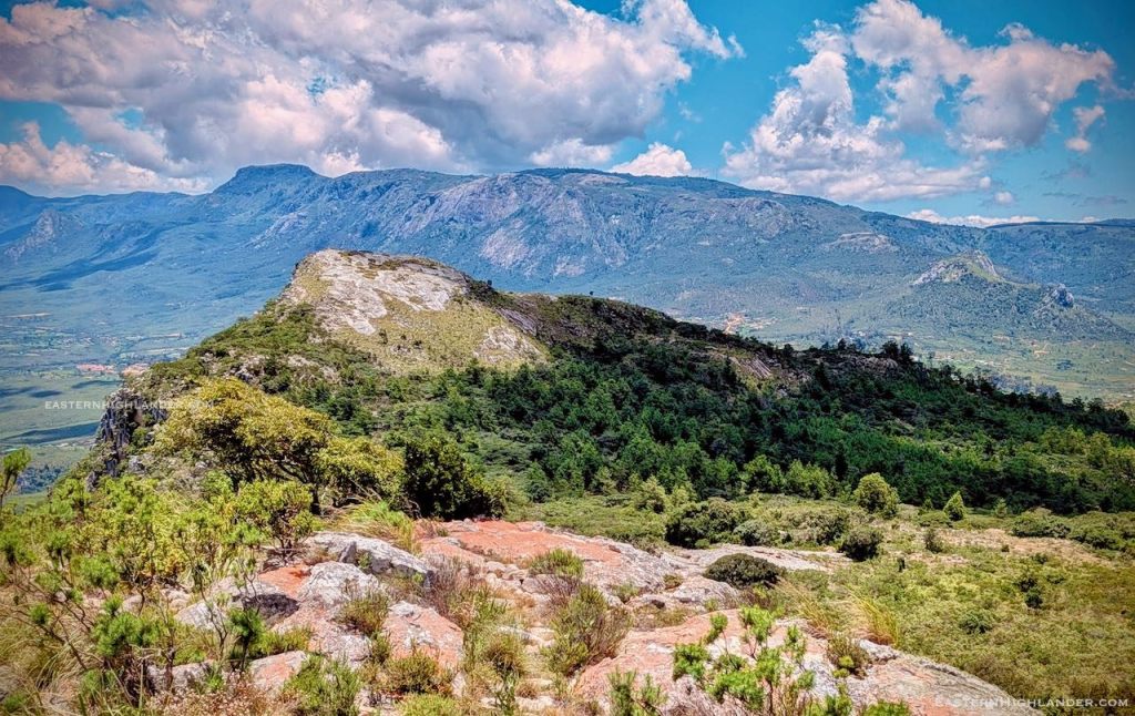
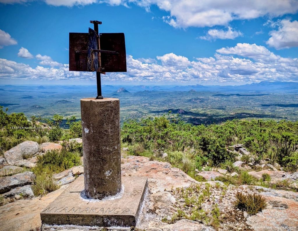
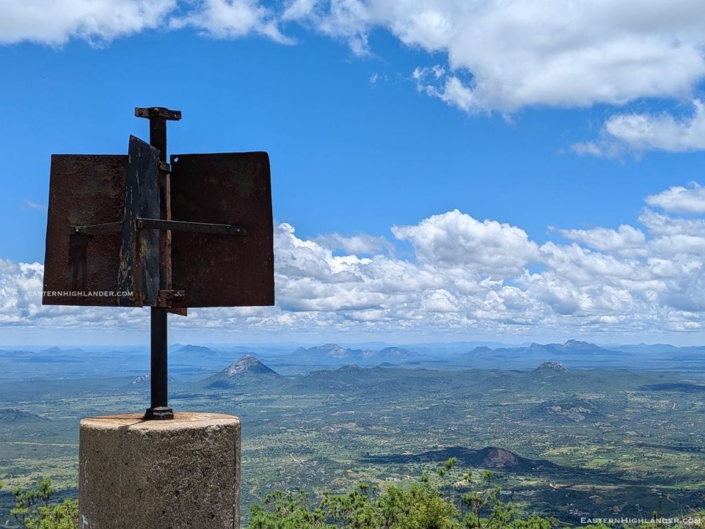
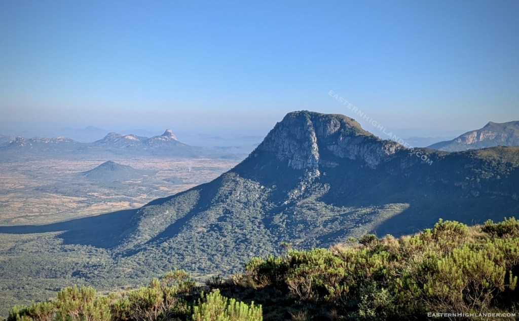
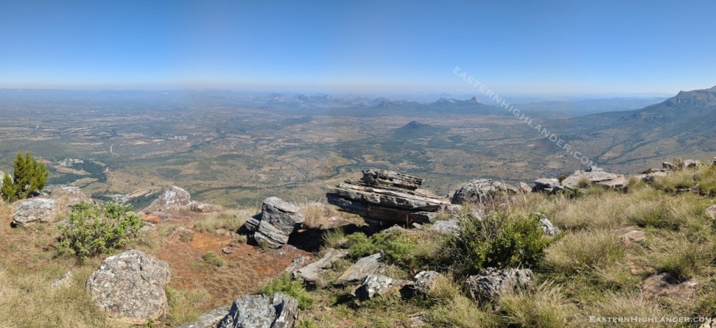
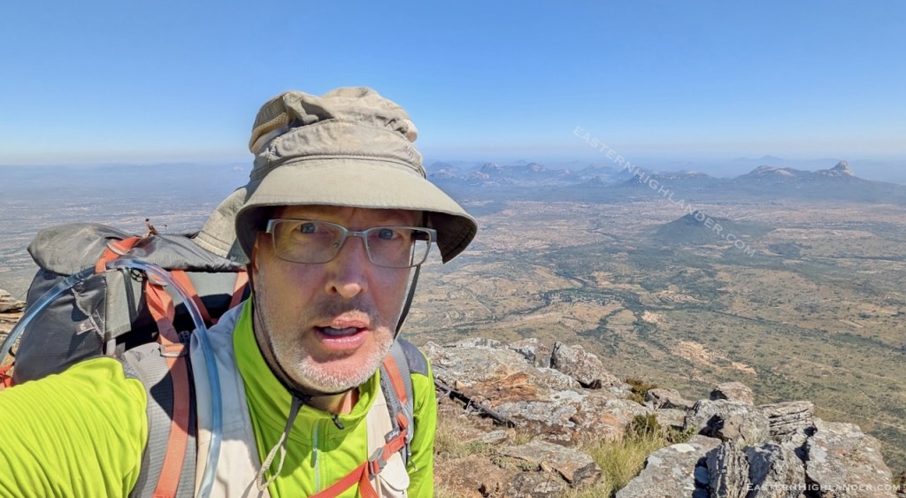
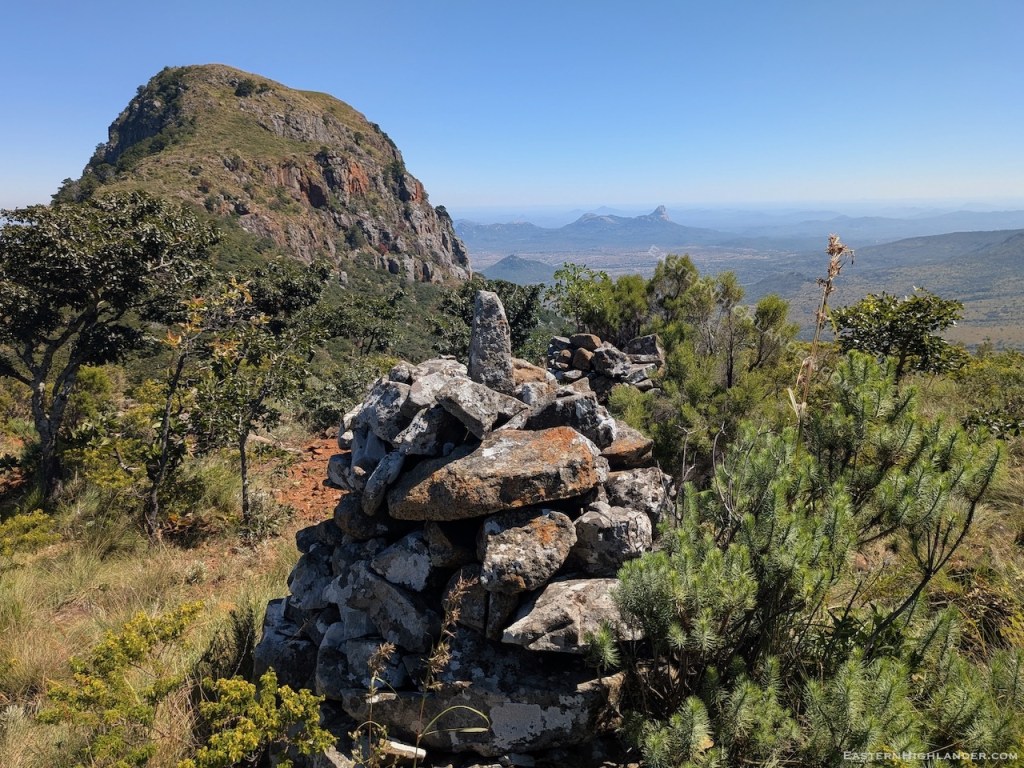
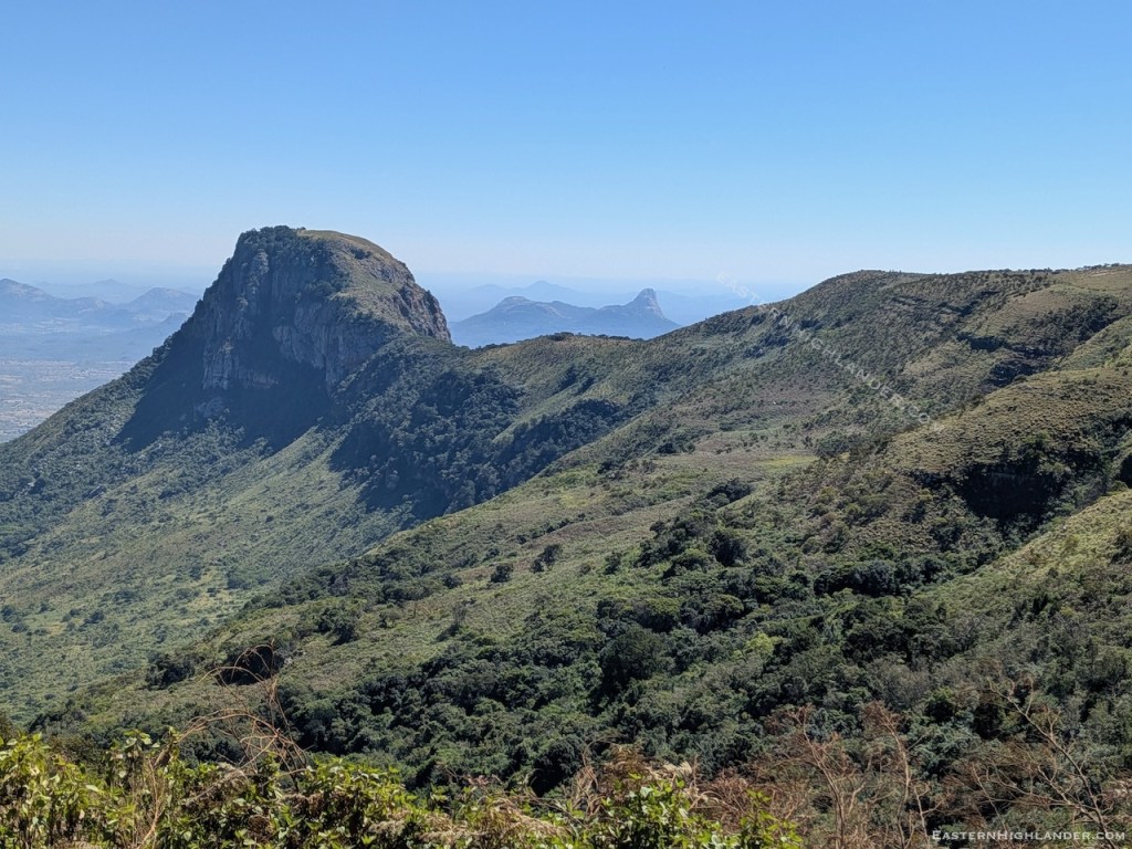
Suffering from the shock of actually making it I staggered westwards until the brush eventually gave way to rock underfoot. There was a dangerous looking cleft to the south with some description of pine trees growing out of it. Just beyond was the end of the plateau and photo time. It was a short stay on top as I was ‘keen’ to get on with the descent! However, however, there was a silver lining – by keeping to the south there was more of a route over the rocks and it was, unusually, easier than my incorrect way up – still too steep for the poles but more doable than my scramble.
Met a couple of chainsawers from Chimanimani working for Allied – they were waiting for their trucks and the log loader – and seemed pretty certain I would get a lift at the dirt road. After passing said trucks I walked on for a coupe of km and finished up level with my campsite, making it a round trip. Didn’t wait for long before I climbed up into the cab of a full truck going to the Allied / Chinese timber mill. There, security got me and older mudhara a lift on a full gonyet / artic / semi (an America Freightliner Columbia). Well, slow and steady wins the day – we averaged about 20 km/h for the next two hours to Bende Gap (1780m), down to Charamba (1320m) and on to Nyanga (1690m). Being left hand drive I was on the sunny side of the cab so I could see over the edge of the road on the way down and get cooked by the sun. I now know what a trailer brake is though! This driver was on the energy drinks as he was going to drive through the night to get this load to Harare.
That’s the story of Mount Muozi. No doubt much less stressful next time!