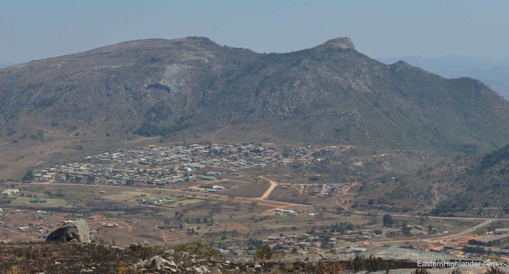
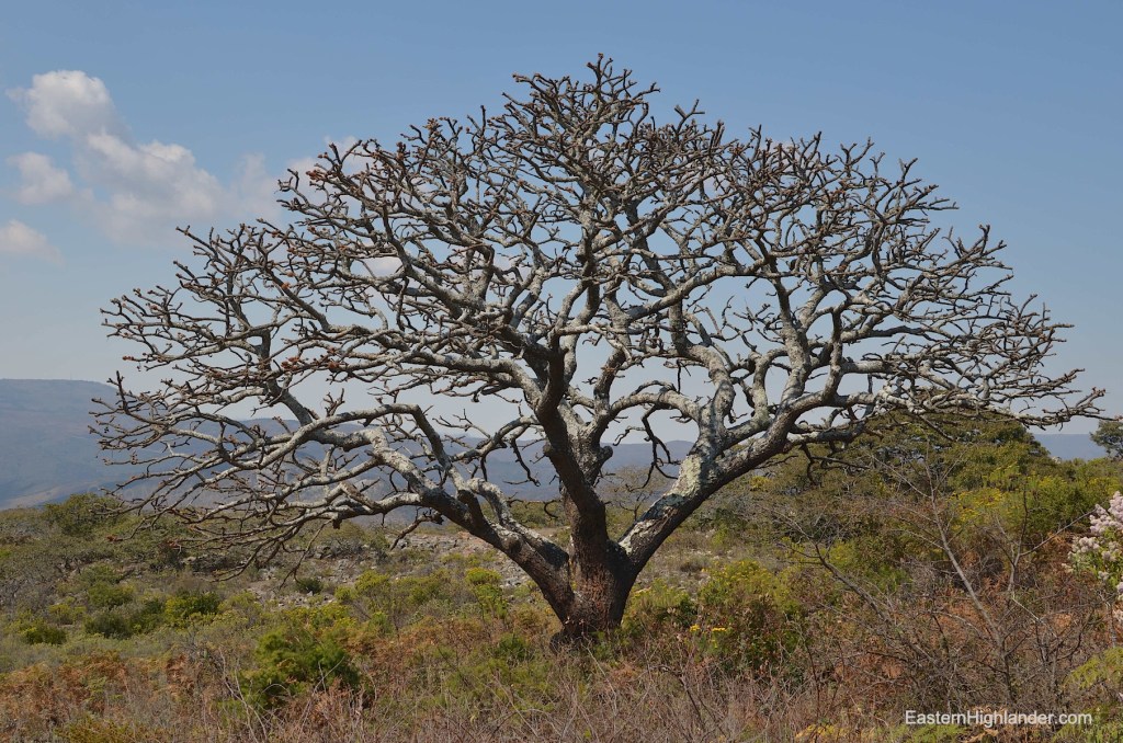
Third, Nyamakanga mountain to the west of Nyamhuka 2 residential area. Initially it was incorrectly marked on Google Maps (and every other online map so they must all be sourcing the same data) by about 200 metres too far to the west. There is now a marker on Google Maps called ‘Nyamakanga Trig Point’! In any case the mountain is unmissable as you come into Nyanga from Troutbeck or Juliasdale; the trouble is it looks too steep and impossible. One answer is to go on to Google Maps and see how to tackle it from the western side.
Just so you know: detailed trip planning using Google Maps / Google Earth may possibly get you into hot water particularly in terms of the actual steepness of the terrain you mapped out whilst sitting in front of a screen. Can you tell this is experience speaking? Fortunately Google Maps is really useful for finding dust roads and paths to get you in and about the places you want to walk in.
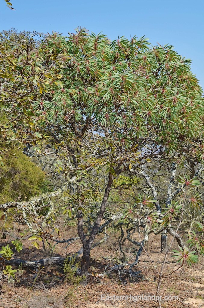
All this being said I followed what I had spec-ed out on Google and took the dust road past Nyamhuka 2, towards Nyarumvurwe (west) and turned off it to the left (south) once I had passed the mountain (note that it is going to look quite big at this point). Travelling slowly make your way as far as you dare. The road just gets tougher and (much) steeper in short stretches. I ended up: walking, checking, returning, driving in stages. Anyway, I eventually found some other outdoors enthusiast (digging deep holes in the ground) who showed me where I could park in proximity to their camp.
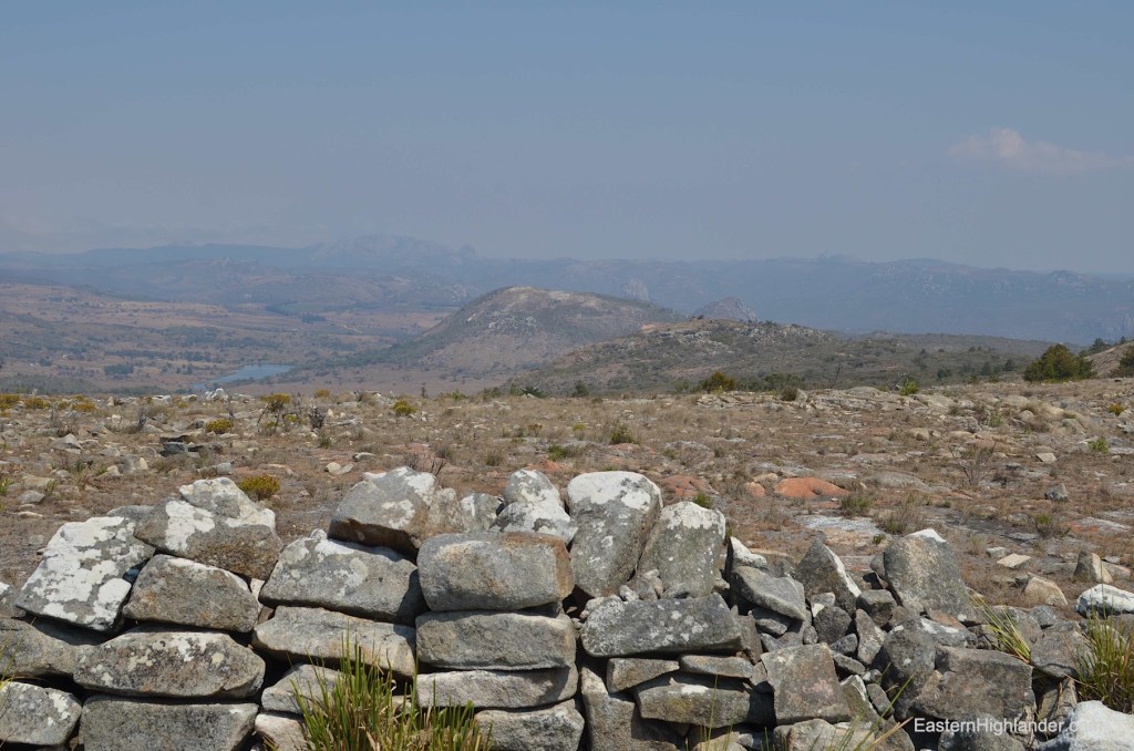
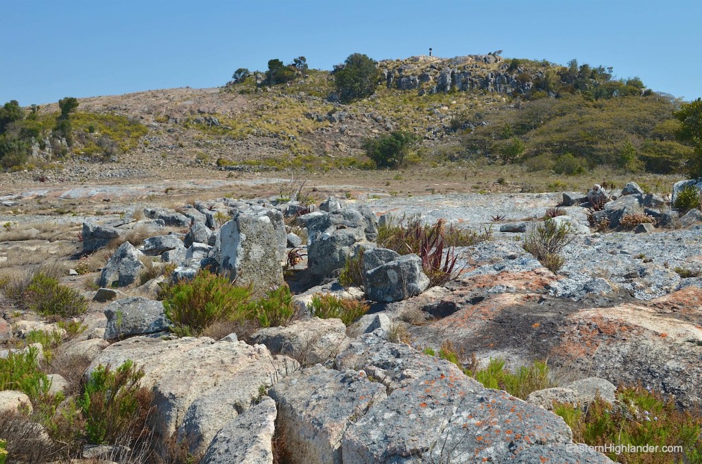
My efforts to find a path up did not go quite as planned and I was forced to scramble between the sparse low Msasa-type trees in-order to gain the ridge ahead and to the south. This became slightly easier and I found two Shona dry-stone circles nestled in a hidden spot. Soon I came across a bizarre but welcome way up consisting of a ‘path’ of cleared rounded stones. Tough to walk over but easier and clearer than any alternative.
Based on my later path down my advice for ascending is to head up diagonally to the left (south) as there are too many paths to count in this area – as well as a very deep hole right in the middle of the path!
So, you are going to get up onto the first plateau and quickly walk to the other side past some pines (now logged) and an open patch of rock. Back up a bit and just start heading up in the direction you know you want to go (roughly north at this point). There is a bit of scrub to get through; here you sense someone has been doing the same thing but without coalescing into one path, and soon enough the way becomes obvious and easier.
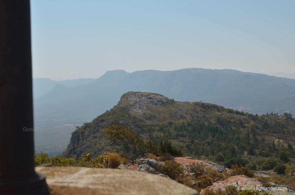
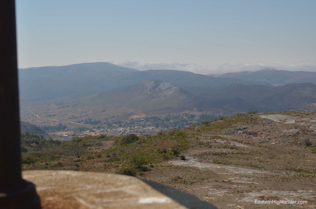
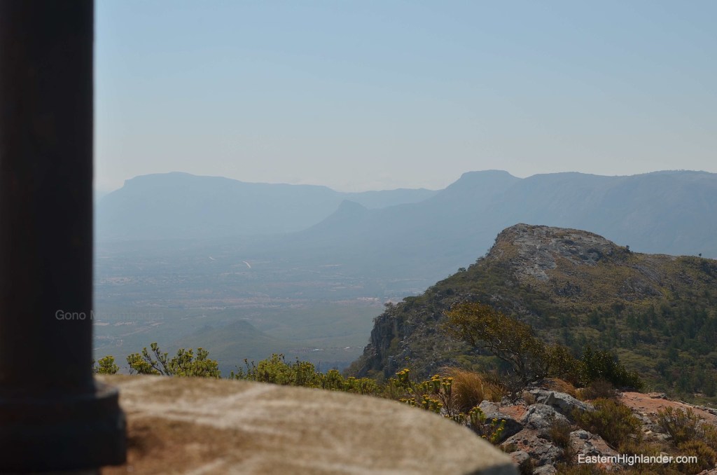
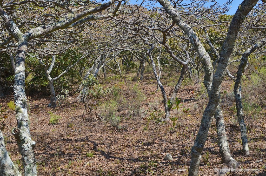
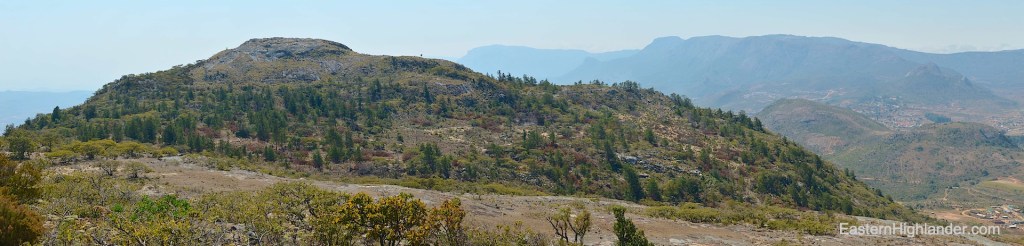
Pretty much plain sailing (up) now. Perfect views west, south and east – though you may stay on the west side as you can return later walking on the east side. You will see more Shona dry-stone work in and around the trig point and below to the east on the rather massive plateau you can’t quite believe exists up here. This means you are walking east, over to look towards and down on Nyanga. It also means you can see a whole new adventure and a whole new valley of trees, some indigenous and some pines (now logged), to the north. I found a way down and through to the east curious about the logging (how are they going to get the planks out from the top of a domed hill – manpower presumably?). I was also searching for evidence of a way down directly to Nyamhuka 2 whilst at the some time contemplating a giant circular walk back to the car and wondering if it would be quicker than retracing my steps. As it became steeper where the stream narrowed and disappeared, discretion overcame valour and I made the decision to retrace. Once back at the main plateau I contoured along the eastern side saving a bit of re-ascent and getting in some more pictures of the Nyanga to Juliasdale panorama. Soon after the first lower plateau on the way down I found those paths now heading downwards and northwards to my right. I took one of many going in the general direction of the car for a quicker, easier trek back. This was a 5 hour trip with no picnic stops but many photo breaks including an augur buzzard. If you went to the trig point and back you would knock off an hour anyway. For me the premier day out in Nyanga with the Bepe hill coming second.


Track data from Garmin put into Google Earth.


And in Garmin’s Basecamp.

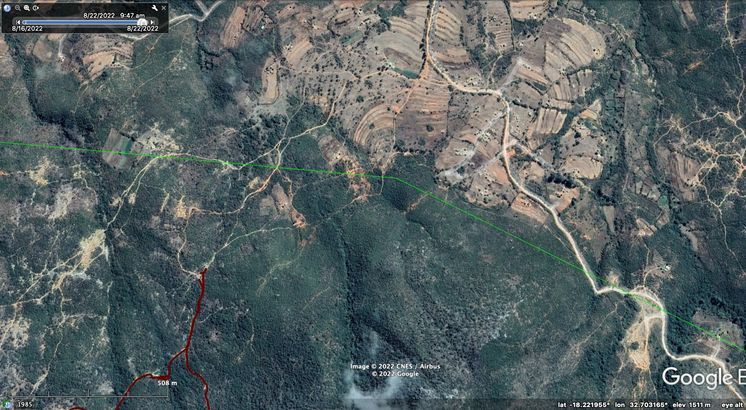
Here is some detail pf the drive-in route.