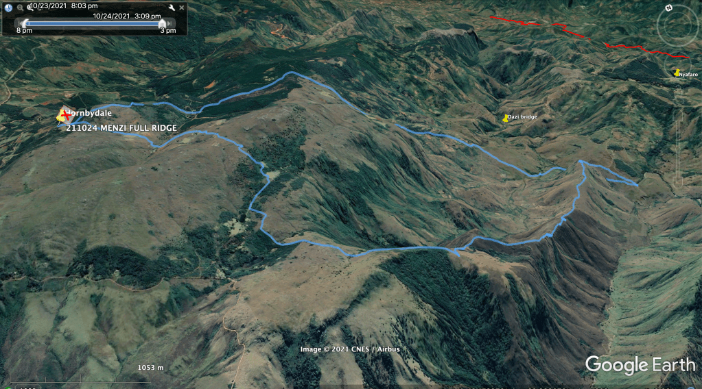
25 km, 1200 m ascent, 5 L water per person, 9.5 hrs
Our longest day out yet, setting out at 5:30 am to get to the ridge between the Menzi and the Chirwe river valleys.
No detailed maps, no guide books; just photos from walks around the western side of the Menzi valley, Google Earth to look for any paths and download them into the Garmin.
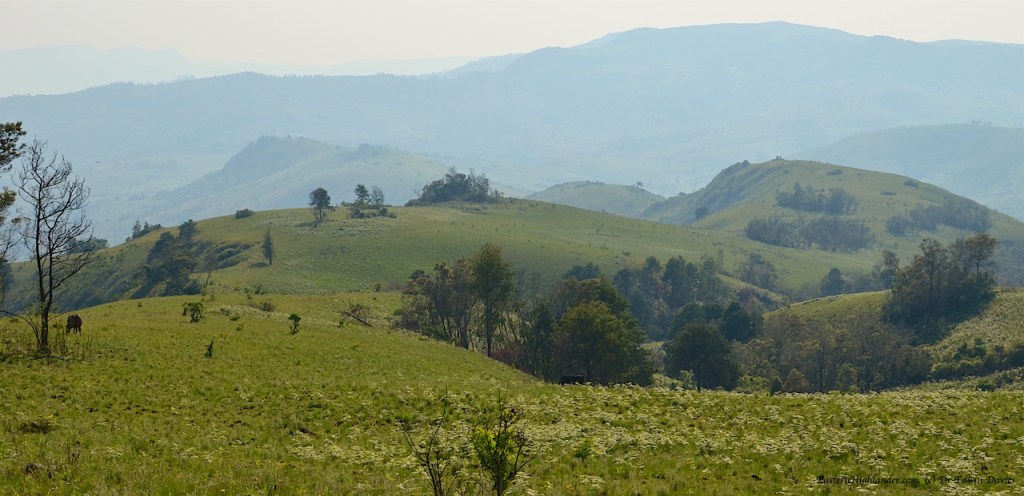
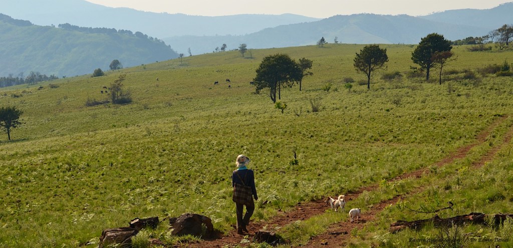
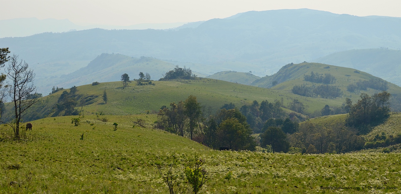
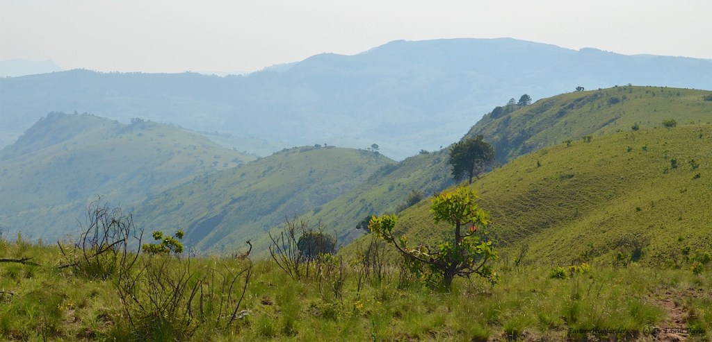
The high plateau before the ridge: As ever it is a surprise to find ‘nearly level’ grazing this high up.
The high plateau
A brief diversion to over look Nyangani
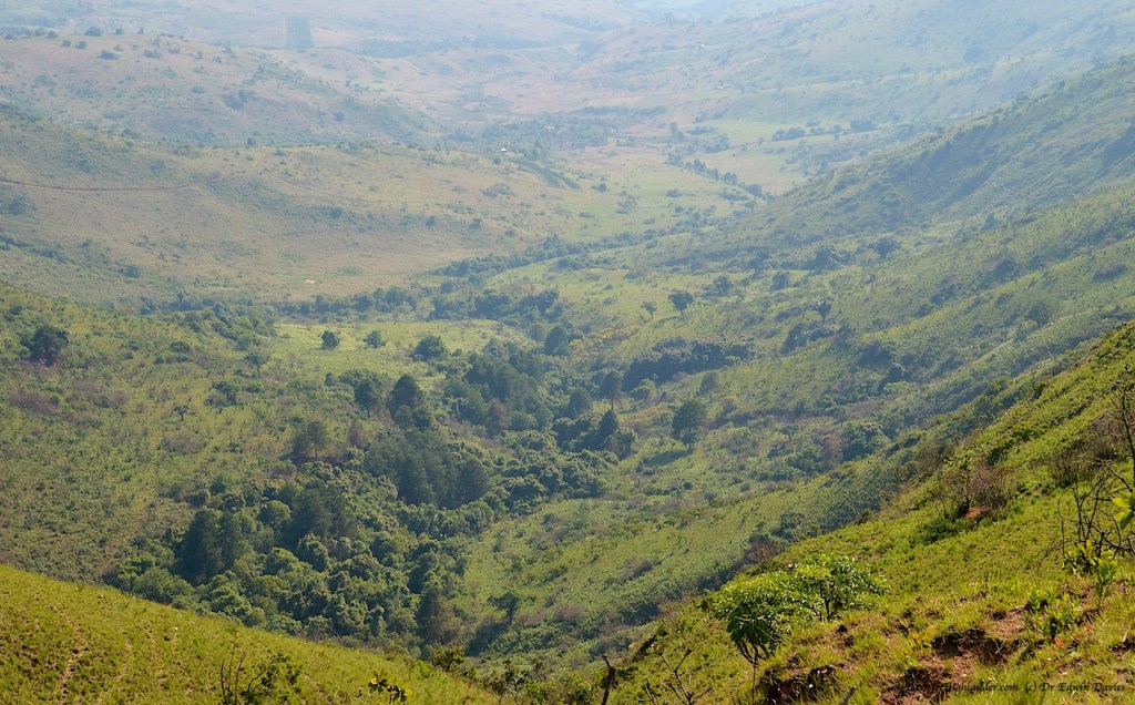
Looking approx SW to Mount NyanganiLogging around the upper tributaries of the Chirwe river
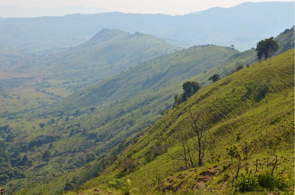
Menzi ridge top section
The very start of the Menzi ridge looking north east
Along the ridge
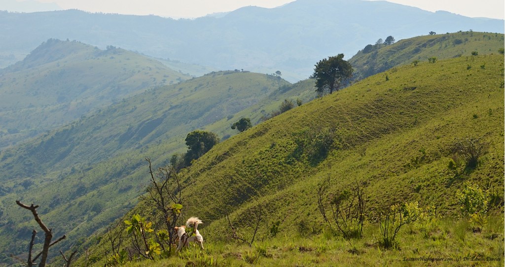
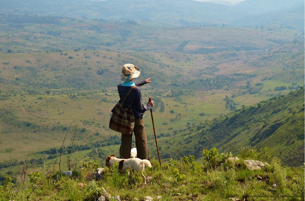
Heidi having a look over the edge
Views down to Menzi – looking approx north east
Views across to Chirwe – looking south east
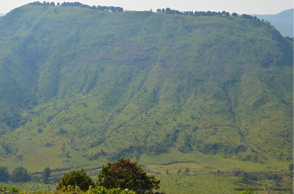
Mumunzi
Mumunzi
South west to Nyangani
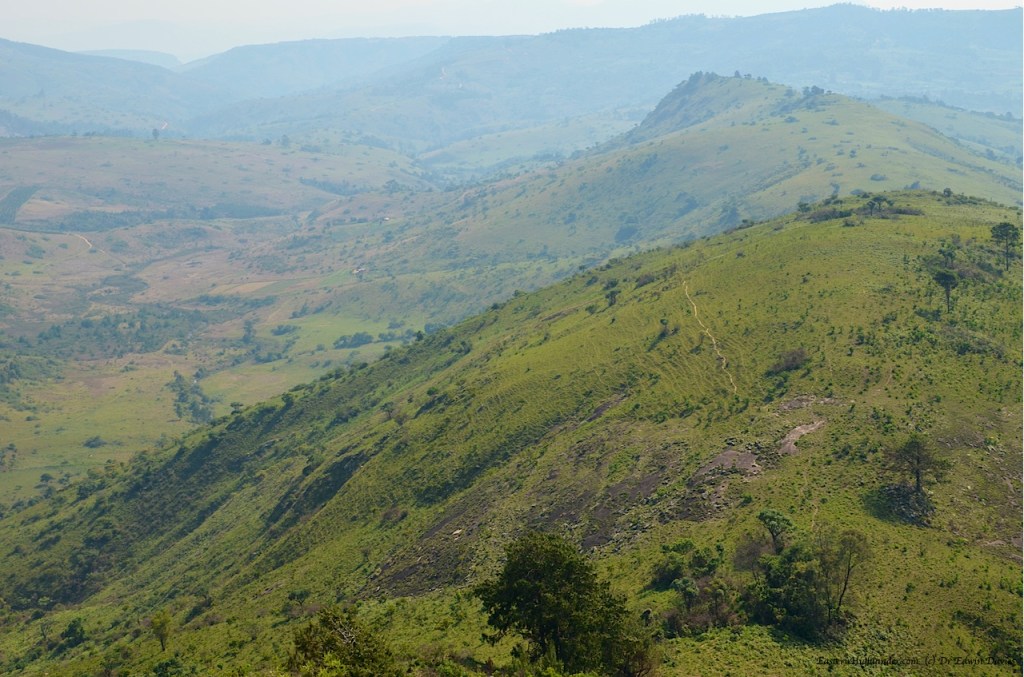
My ‘drone’ shots over the pending ridge; actually taken from the top of ‘the steep section’. One of the pitfalls adventures inherent in ‘navigating by Google Earth’! (There is one more to come as we walk out.)
‘Nutty’ (Frida Kahlo)
All pics from this section. Click to scroll through larger images or mouse-over for captions.
The high plateau
High pastures of the plateau
High pastures of the plateau
A quick diversion to see Mount Nyangani
Logging around the upper tributaries of the Chirwe river
The very start of the Menzi ridge looking north east
View along the Menzi ridge
Northern slopes of the Menzi ridge
View – with added Jack Russell
Heidi getting too close to the edge
Menzi just above the ‘steep section’
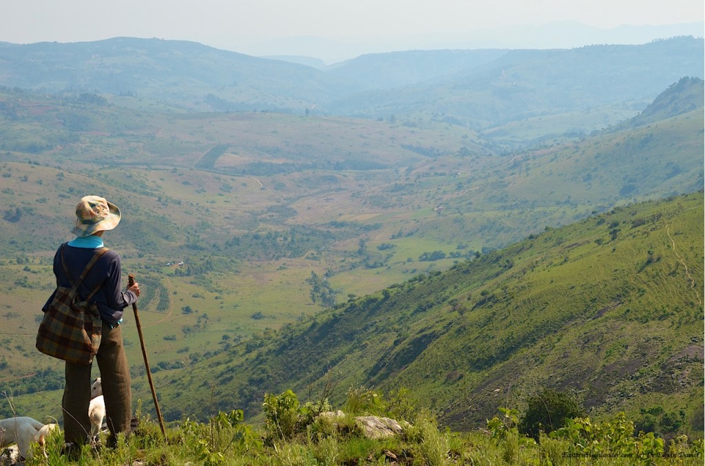
Looking out over the Menzi valley towards Dazi and the Gairezi
Looking out over the Menzi valley towards Dazi and the Gairezi
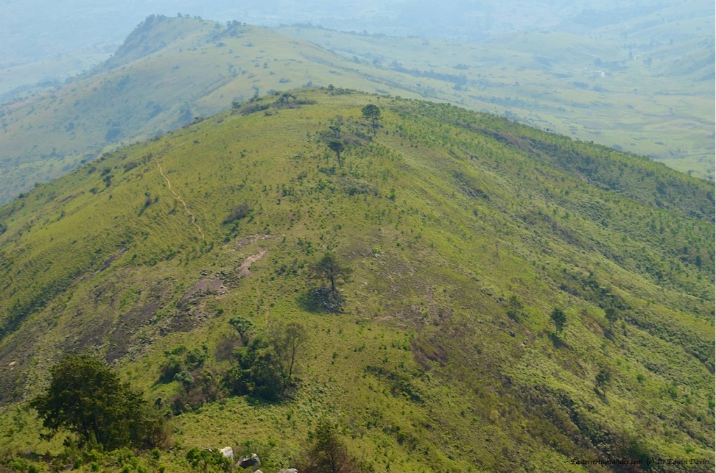
‘drone shot’ over the ridge
‘drone shot’ over the ridge
‘drone shot’ over the ridge
‘drone shot’ over the ridge
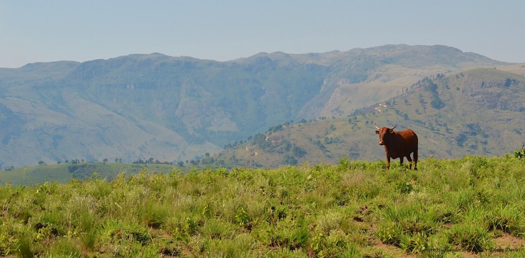
Scenic Nyangani
Ahh – scenic Nyangani with mombe
Looking north to the Kwaraguza side – and just visible in the centre left of the shiny house – the route down for one of our other walks
View of Mumunzi from Menzi ridge
View of Mumunzi from Menzi ridge
View of Mumunzi from Menzi ridge
Menzi ridge – Chirwe ridge – ridge off Nyangani
View down a valley formed by a northward spur off the ridge