This section covers the ruins marked on the 1972 Troutbeck map. After descending on the mid-section walk back up to the small top containing the ruins of the hill fort.

After descending on the mid-section walk back up to the small top containing the ruins of the hill fort.
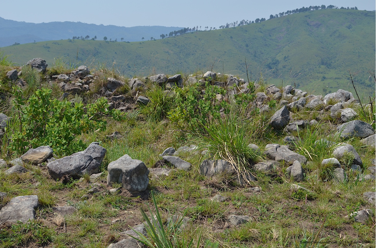
Some of the walling forming the base of the ruins is visible.

Top of the Menzi ridge hill fort
Menzi ridge hill fort looking south to the Mumunzi ridge

Top of the Menzi ridge hill fort – looking down northwards
There was also a sunken ‘pit’ structure a few metres further on. Its under these trees! Overgrown terrace in the foreground.

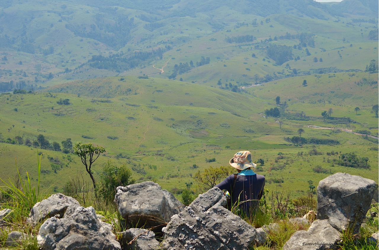
Now let’s talk about the views from this hill fort over the surrounding countryside and river valleys. (More in the gallery at the end of the post.)
View from the hill fort across the Girwe to the Gairezi (right hand side)

View from the hill fort across the Girwe to the Gairezi (left hand side)

Hill fort looking north towards Dazi

Menzi ridge hill fort looking over Mumunzi to Nyangani mountain

View from the hill fort south across the flat plains of the Girwe river valley
All pics from this section. Click to scroll through larger images or mouse-over for captions.


