The Menzi
The Menzi is a dramatic, steep sided river valley rising on the north side of the the Inyangani range. The head of the valley is reachable from the National Park gate at Kwaraguza – just follow the Kwaraguza road to the end.
After existing briefly and running for only 5 to 6 km north east the valley disappears as the southern spur ends and the Menzi joins the Gairezi river about 1.5 km south of the Dazi bridge road crossing. The Gairezi winds on to become part of the Zimbabwe – Mozambique border.
The Eastern Highlander route
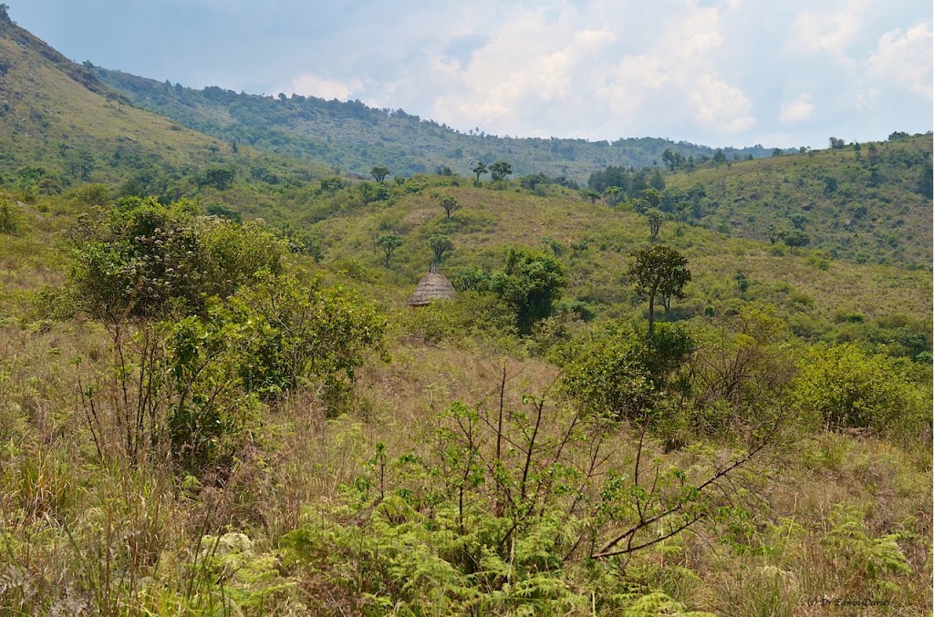
On this day I walked in across the sango of grassy scrub and various potato fields with a short, steep climb up from the stream aiming towards the highest row of north facing huts.
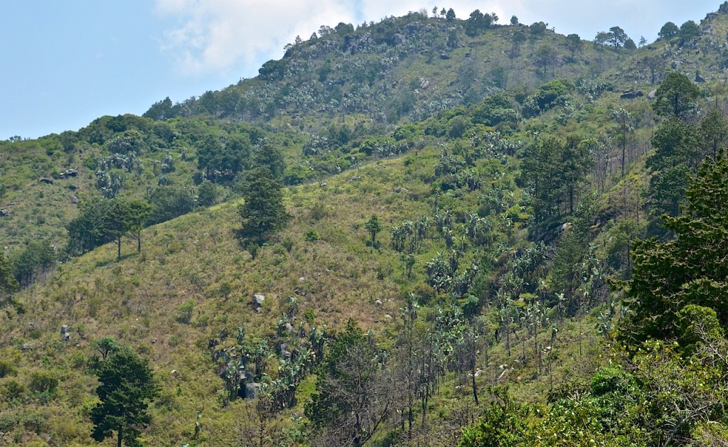
Reach the level area at 2220 m, and sometime potato fields, start to walk through the messy, fire and logger decimated ex-woodland. Now a bare patchwork of blackened stumps, off-cuts, mounds of sawdust and fallen trees too narrow for the mill. Rising way over the height of the trees the forest fire in November 2019 was so hot and fierce no undergrowth has really come back at all.
I was following the GPS to a waypoint, marked the week before on a school walk, for the entry to the matted mix of dense wattle / pine trees / tree ferns. As it is full of fallen and bent-over wattle, being on this path is just about mandatory. (There is another slightly higher path, starting east of the cabins, that contours the base of the rocky slope above but it is soul destroying (that school walk I mentioned) and is becoming impenetrable in the east being engulfed by hanya.)
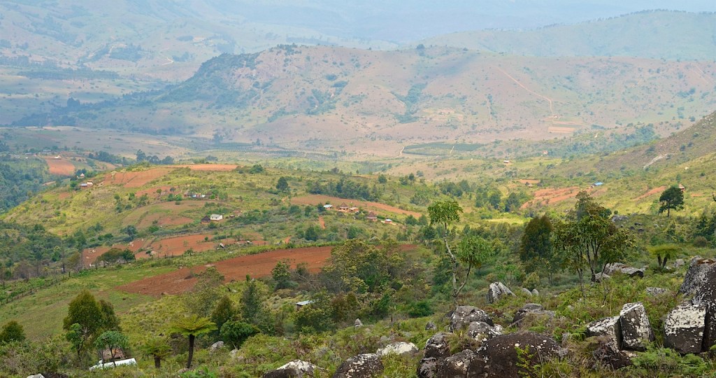
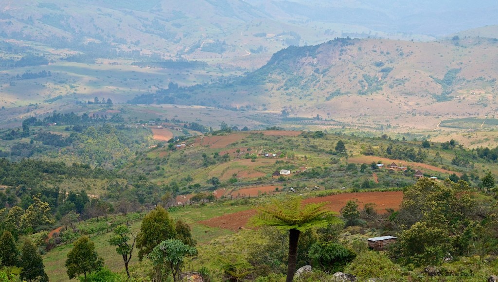
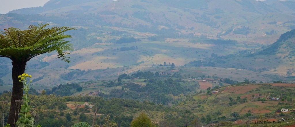
Coming out of the woods and heading north east you are now walking to the ‘other side’ of the watershed in a whole new geography; the hint of a panorama across the Gairezi river valley reaching over to unknown peaks around Nyafaro steadily pulls you along.
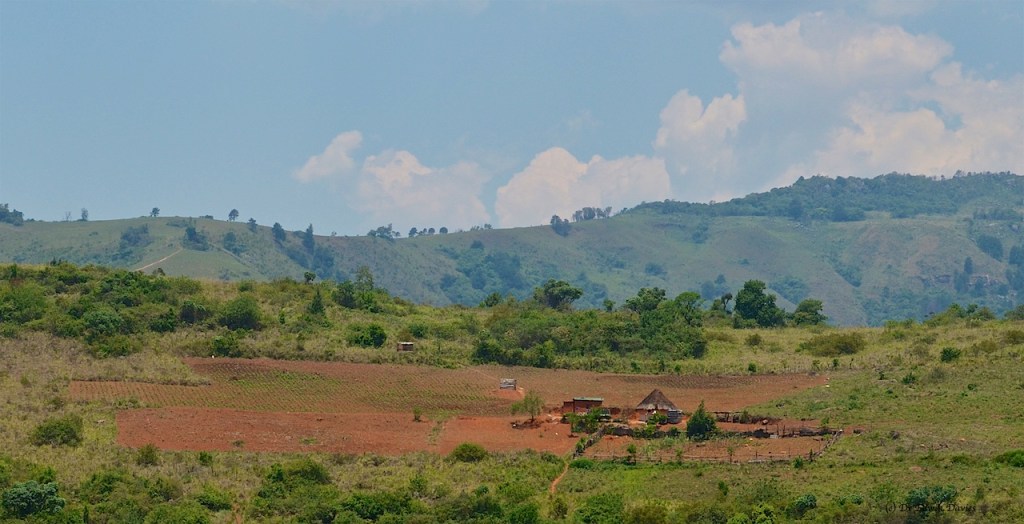
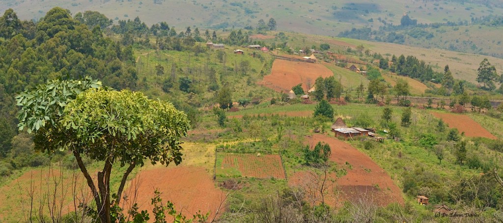
Fireguard and path going north east for 0.9 km and to your right a small stream valley. Here, to the south east is a set of vegetable (potato / cabbage / kovo) fields at 2120 m on the gently sloping hill. Pass west of these down a short, steep, bumpy path to wooden pole bridge and surprisingly a junction in the path wide enough for a scotch cart – possibly how the vegetables get out to be sold in Dazi.

Path east till you reach a flat, grassy corner and secluded cabins at 2040 m.
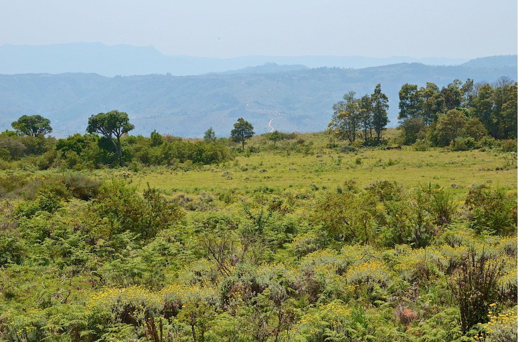
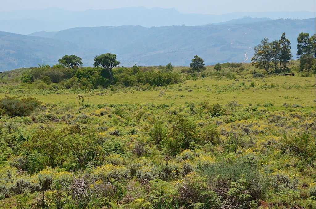
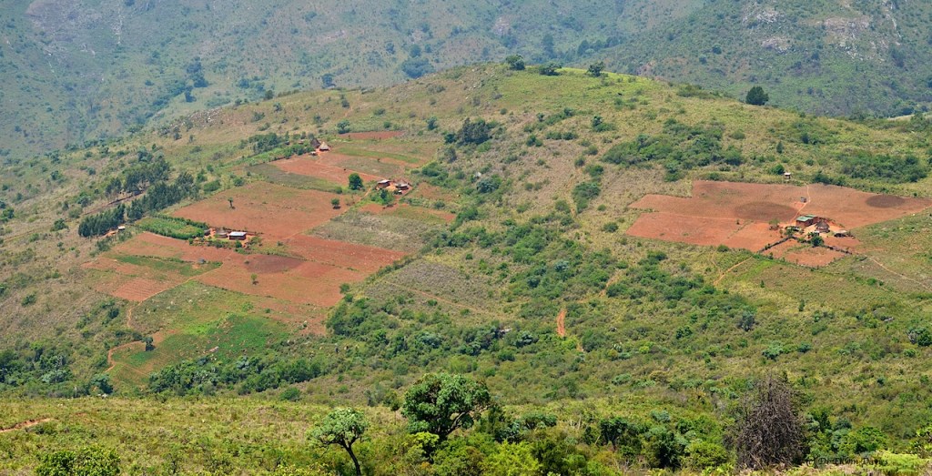
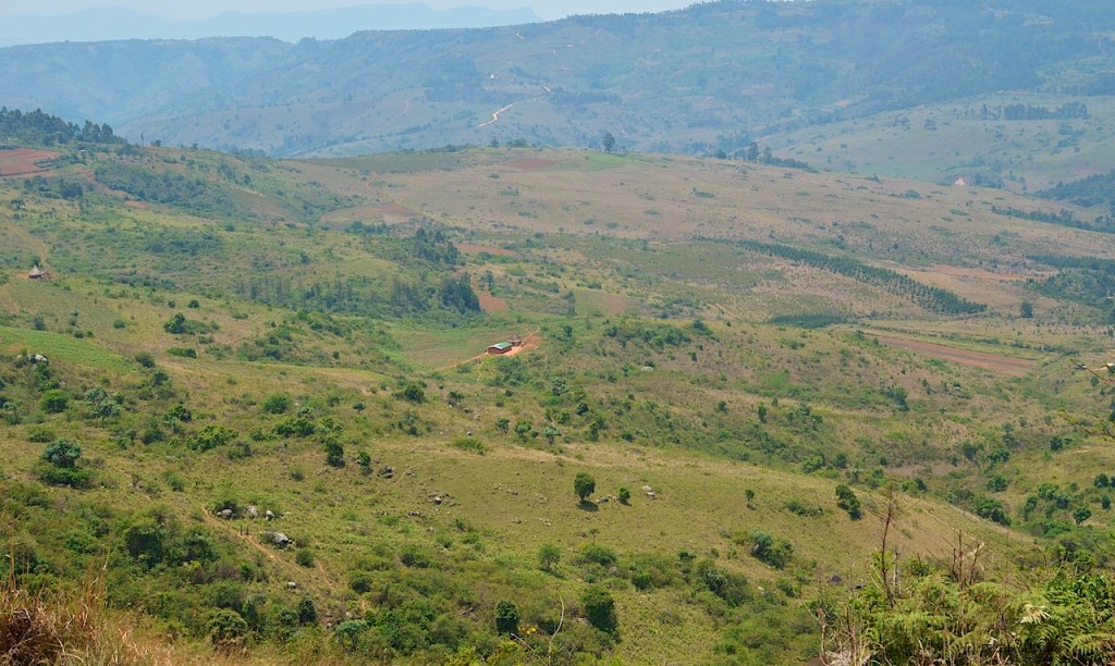
South and the surprises begin when the path contours the east facing slope and below opens out the flat grassy areas of this unusual upper plateau. These are pictured as fields on Google Earth/Maps though are fallow now in October 2021.


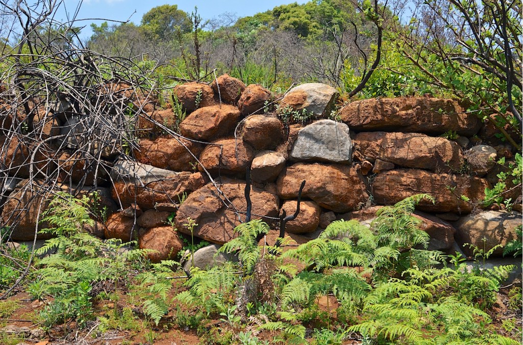
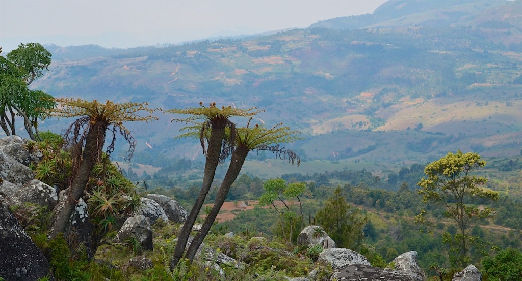
Bit of follow-your-nose to get to the next open space and, low and behold, the extant remains of some massive stone-built terraces above the continuation of the green plateau.
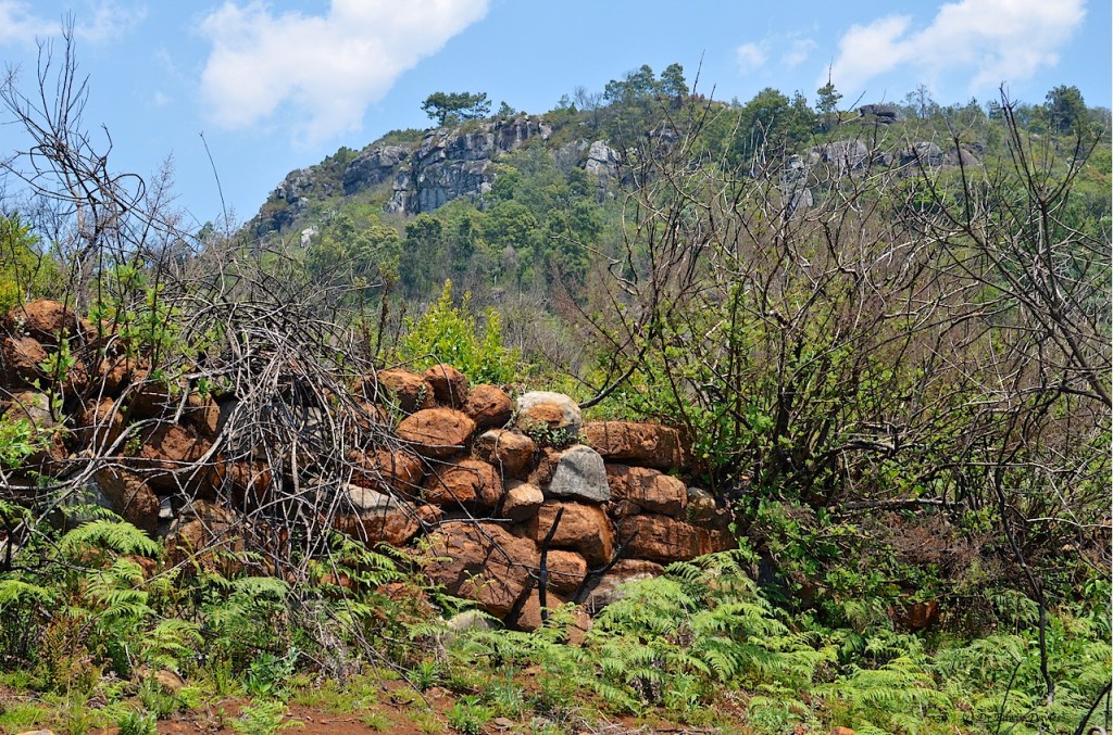
More follow-your-nose, divining cow paths through the overgrown bush, to reach the exit point at 1994 m which appears as a hollowed out channel down through the rocks – possibly historical / related to the terracing.
Now the descent starts in earnest and the views ahead and below will open your eyes wide. However, be warned, at the same time the path becomes steeper and steeper and steeper. It cannot really get any steeper and still be called a path.


Under the brief grass is granular-like whiteish stone; there is mercifully no clay or real earth to slip on, though it is likely still a challenge in the rain.
A walking stick is very reassuring for the ‘old mhudara’ (any male over the age of 40) / experienced walker / because your camera will be glued to your other hand by the views. There is a handy pine tree rest spot accidentally positioned at just the right place in the gouged out path.
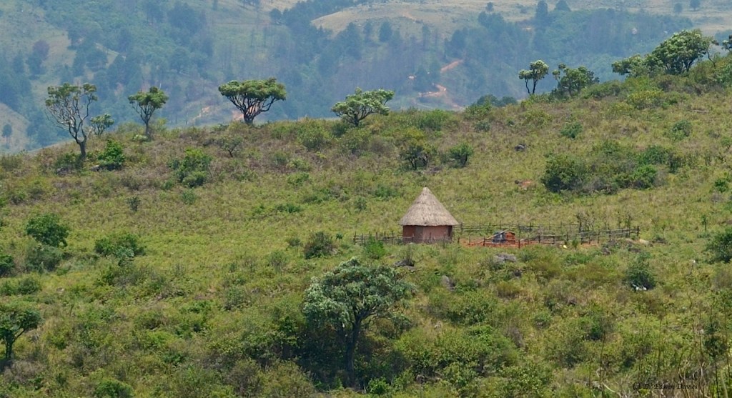
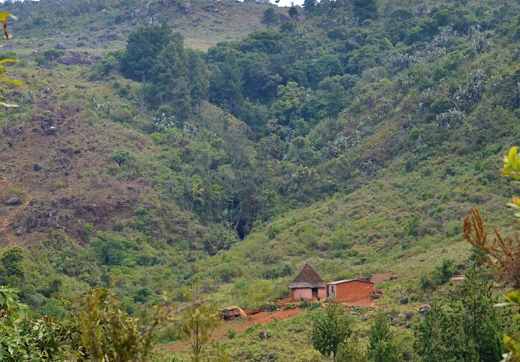
Near the bottom of the steepest slope ever walked with camera in-hand there is a house and rondavel at 1757 m with highly reflective ‘zenga’ (=zinc) / roofing.
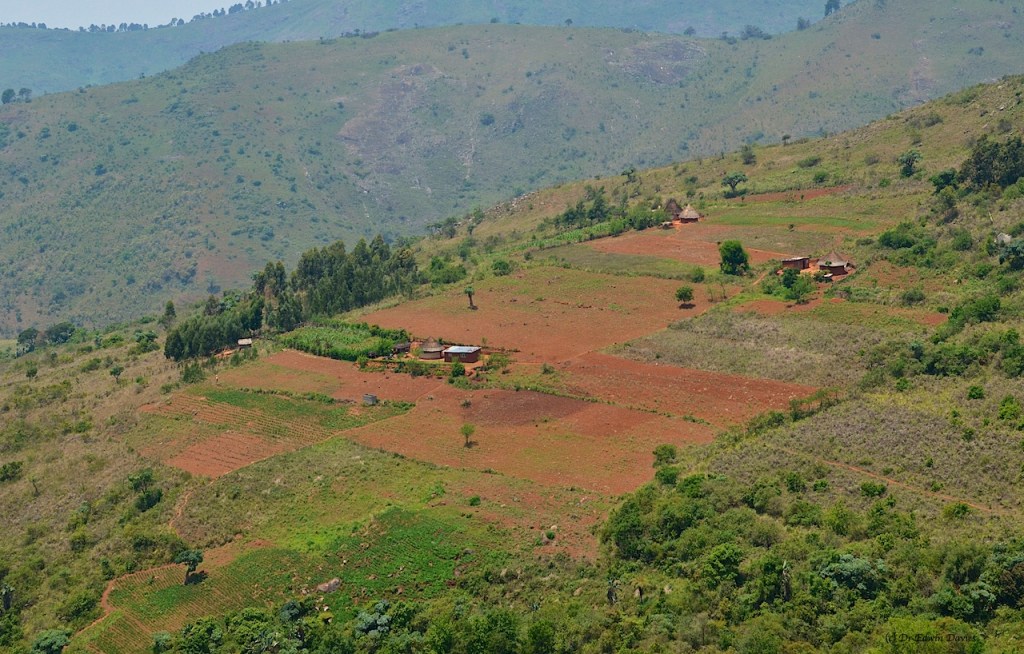
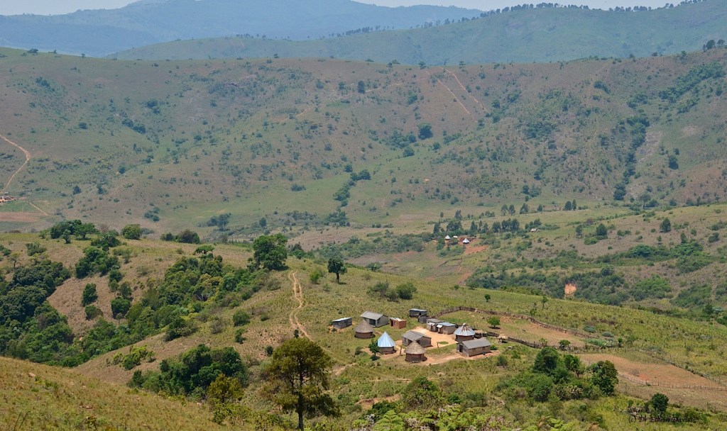
I followed a path above this, being wary of descending too far, however this was not the right route and I later corrected – coming down from more steep slopes above a grouping of houses.


Hotter and humid off the hill, the path goes up and down, in and out, undulating past the odd small field and house.
I was heading NE then NNE following my nose in selecting the right path; again conscious of not wanting to descend into unending hidden paths leading me away from my intended route up and out of the valley.
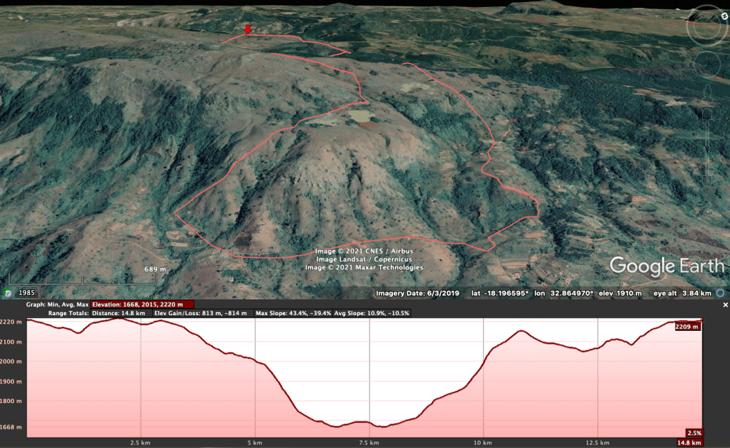
Lowest point was the stream crossing at 1671 m just before turning to the north. From previous day-long outings to Dazi four years ago I had waypoints from higher up to prevent total heartache. The later, second, route up out of the valley is a physical, hands and feet scramble up an incredibly steep route lined with clay and mud.
Rising after the undulating mini valleys the views open out as you start to climb. The path is again very, very steep and heavily eroded in places – no telling what it’s like in the rain.

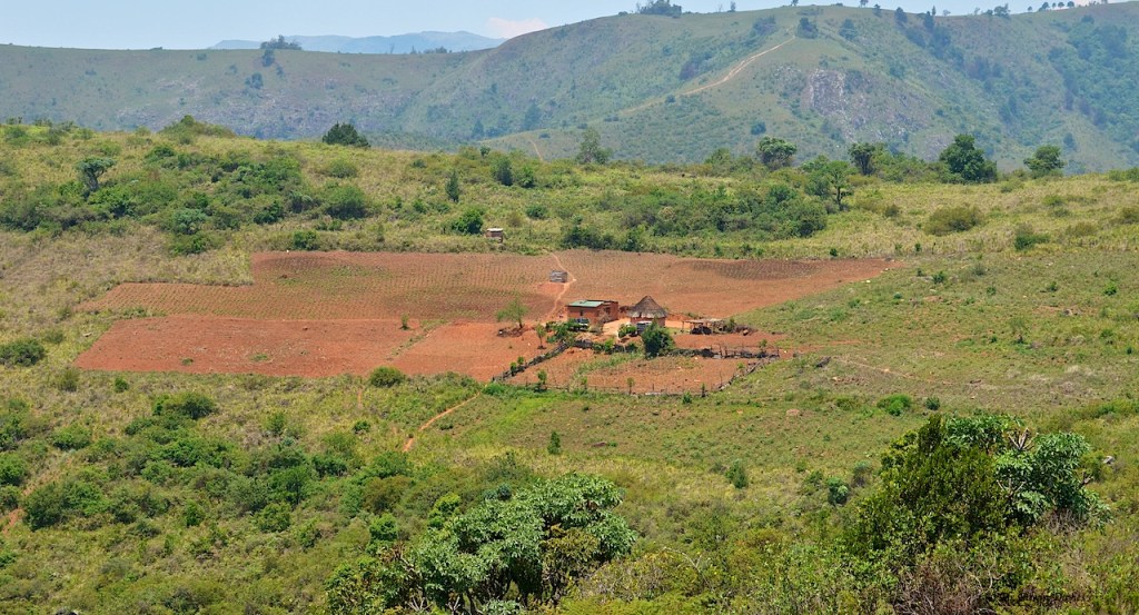
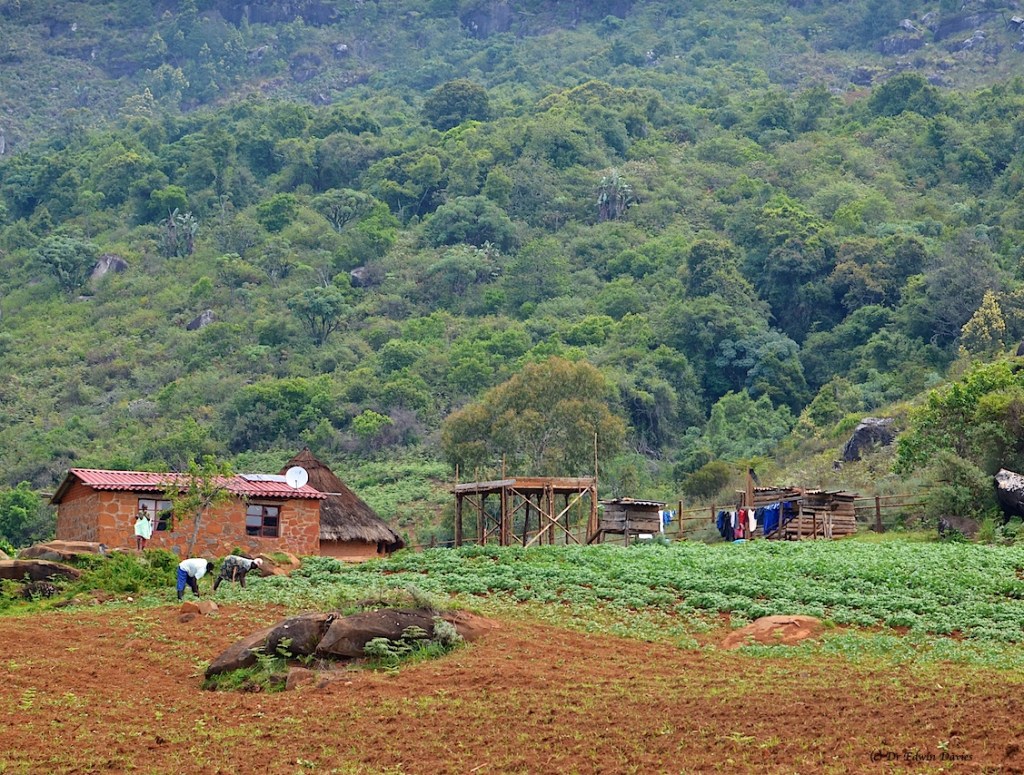
To your left, almost at the base of the hill, three houses have made themselves remote and cut off to concentrate on their small plots.
There is even a hint of a path up which could well rendezvous with the upper plateaux of earlier.
Potato field and house on the left at the top of the cultivated terrace, two rondavels on the right.
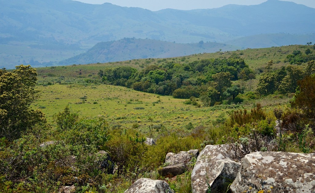
From here follow any path up and out, back up through the open grassy hillside and then into the pine forest at 2100 m for the return home. Needless to say it is a health-giving walk back up.
Others may well be travelling this route as it is the way out by foot. I fell in with a river warden and health worker (Shumba gwara so I did my ombera in the path to great laughter) taking their daughter out to return to Crossdale secondary school at Tombo.