Covers the walk from the bottom of the steep section up to the marked hill fort. Starting with a look back up to the steep section.
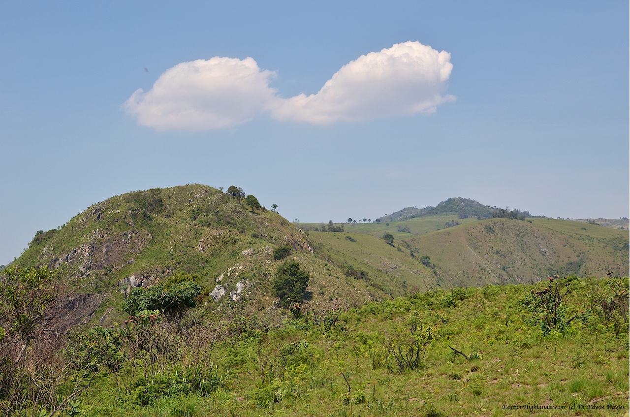
Menzi ridge steep section
Views from the area of the un-names, un-labelled ruins / terraces. They are on a small, steep-ish part of the ridge rather than the more gentle sides so who knows what their purpose was: possibly defense, possibly a specific type of agriculture?
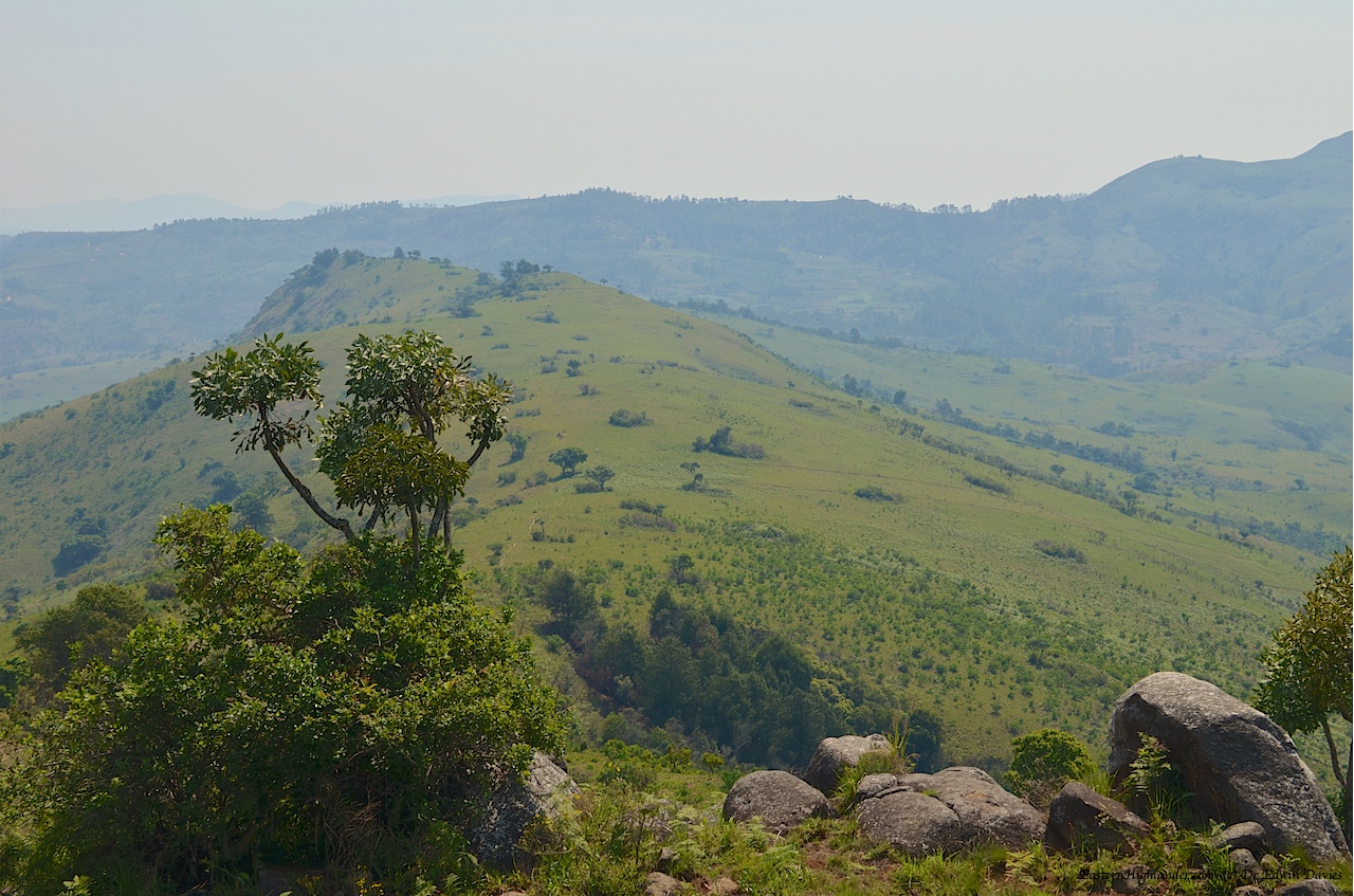
Menzi ridge mid section near un-named ruins


Back up to un-named ruins / terraces centre of picture.

View down to the Chirwe from this area
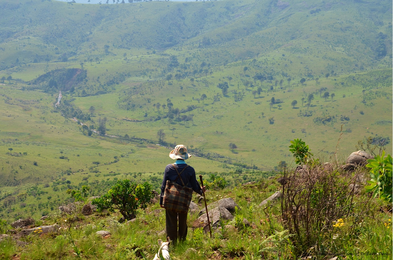
Menzi ridge mid section view down to Chirwe river valley
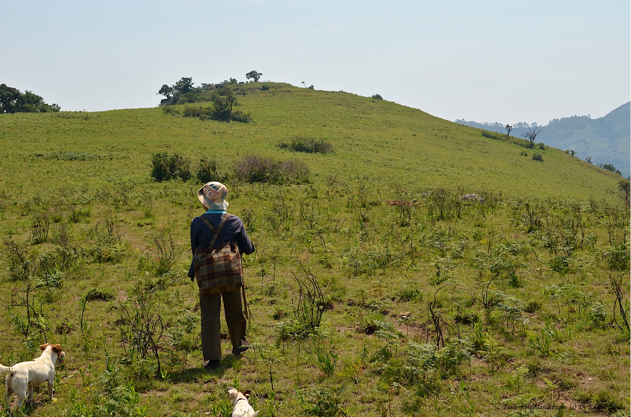
Next looking over the norther slope towards Kwaraguza side
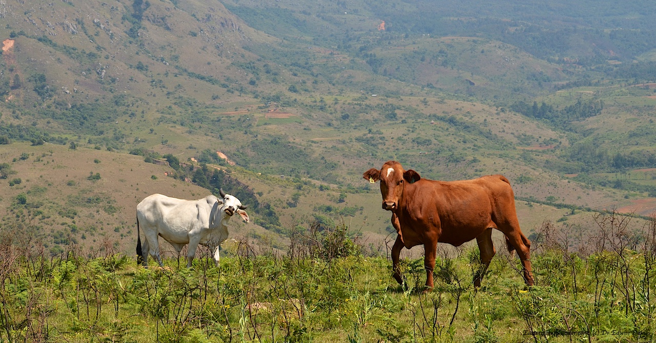
Menzi ridge mid section cows
This shows our way down into the Menzi valley from the Kwaraguza side.

View across the Menzi: Our route down to the Menzi valley on other walks
Stunning scenery along the ridge as it broadens out.

Scenic views Menzi ridge mid section northern slope
Closing in on the hill fort / ruins on the penultimate top before the end of the ridge. Marked on the 1972 Troutbeck map.
Menzi ridge mid section moving towards ruins marked on the 1972 map
All pics from this section. Click to scroll through larger images or mouse-over for captions.


