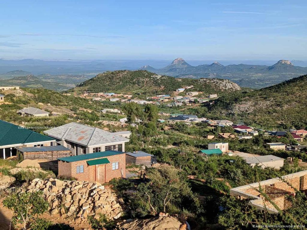
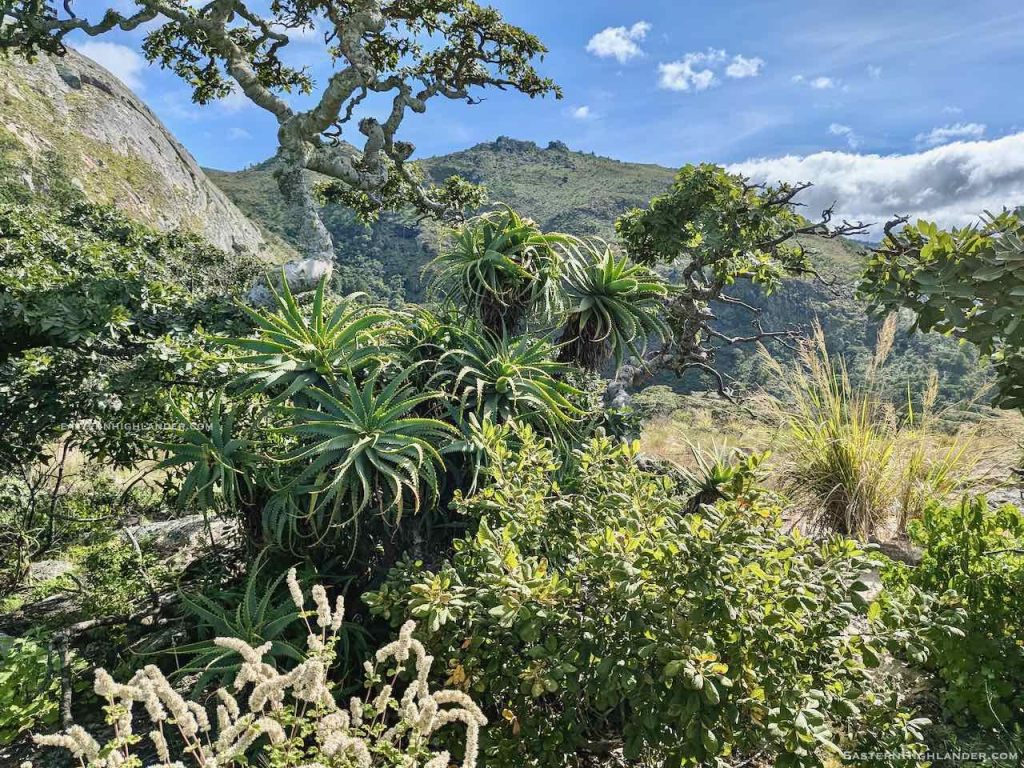
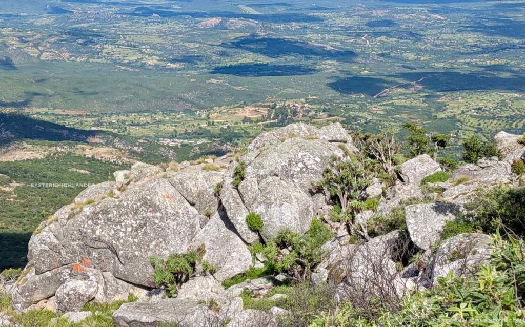
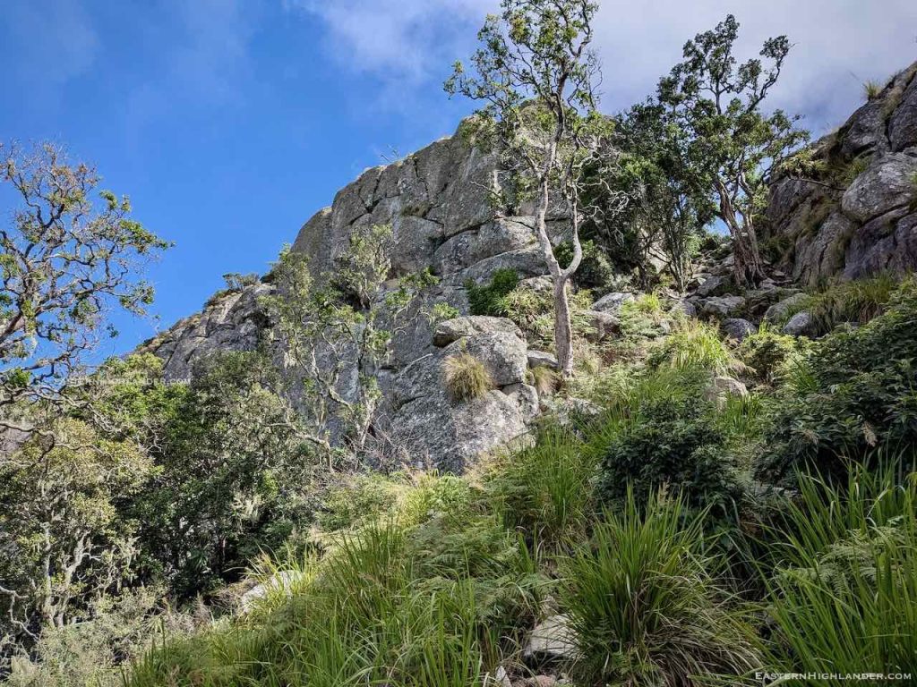
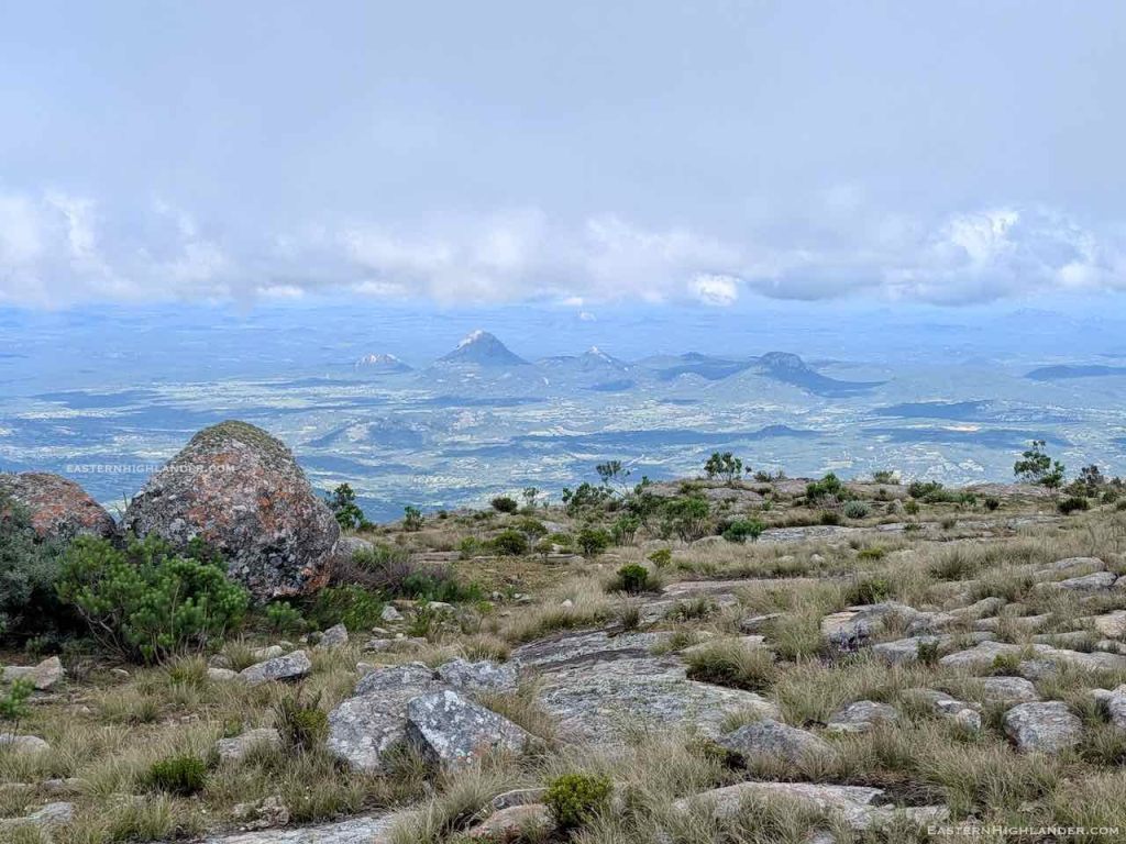
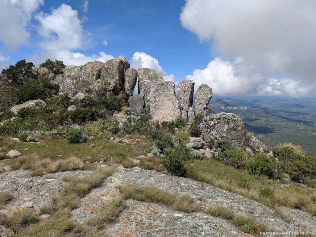
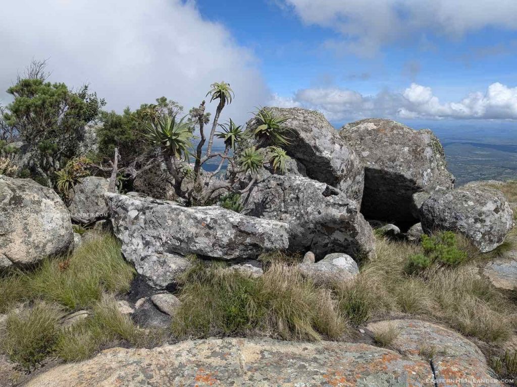
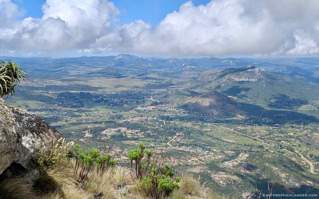
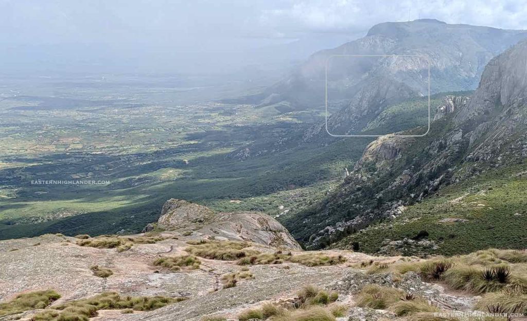
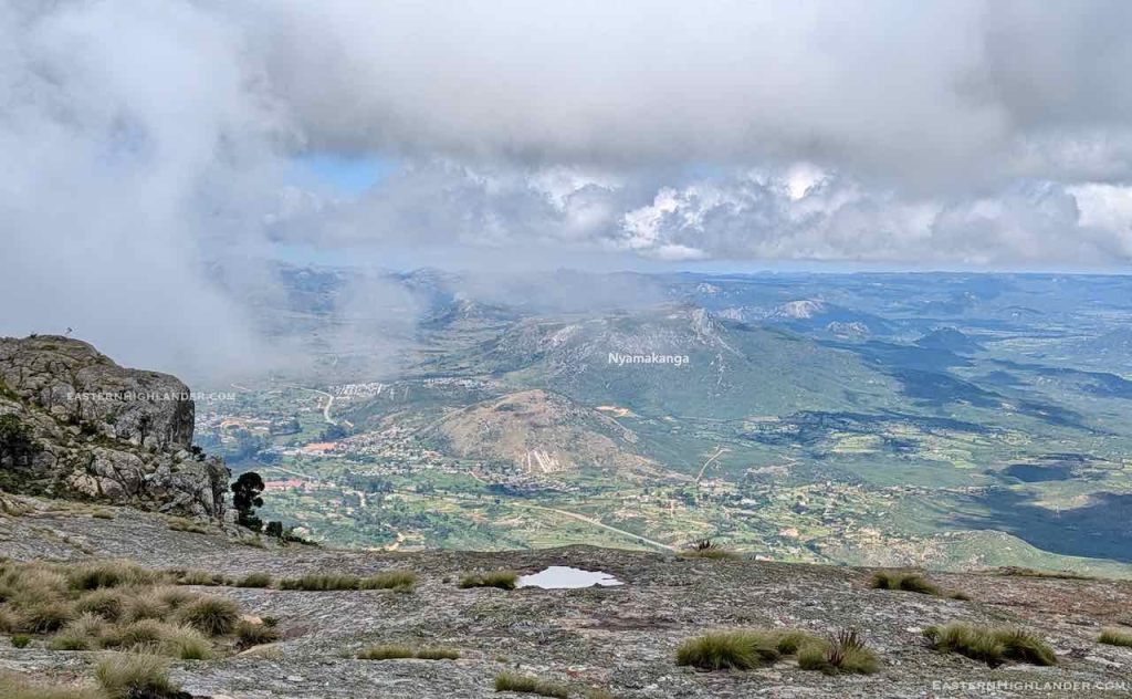
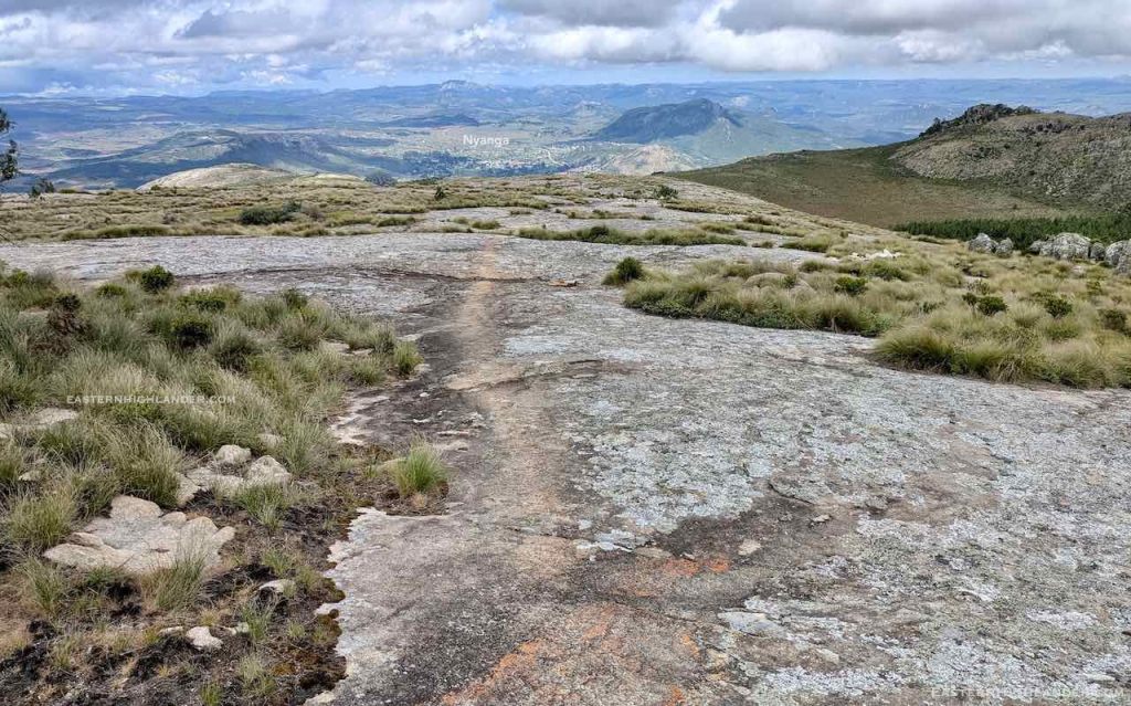
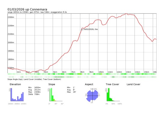
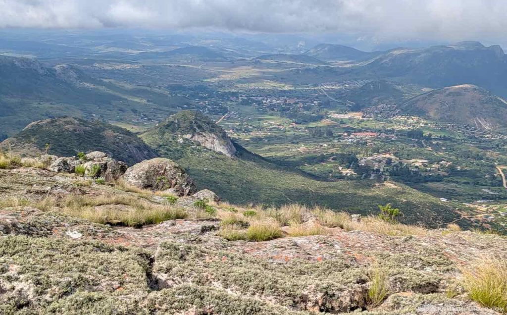
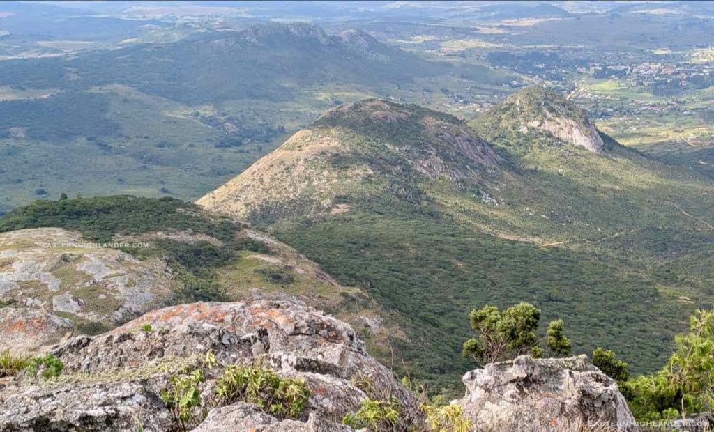
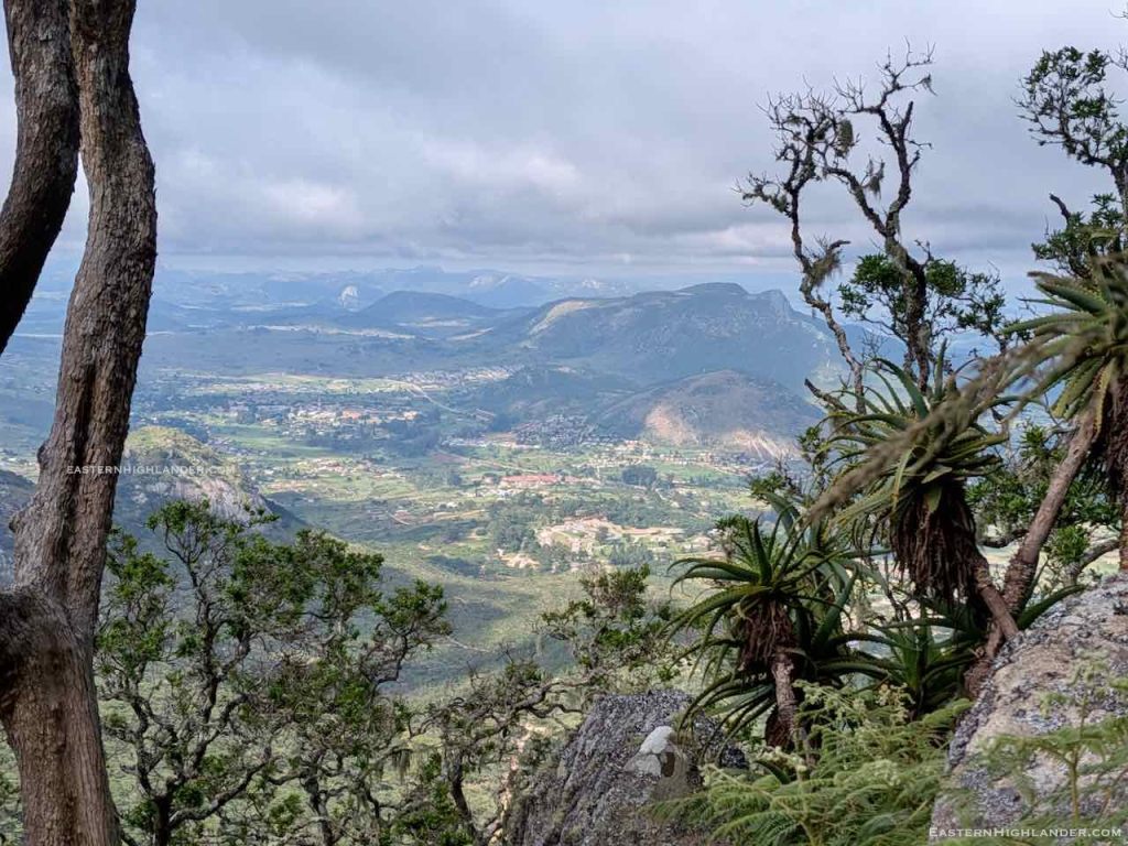
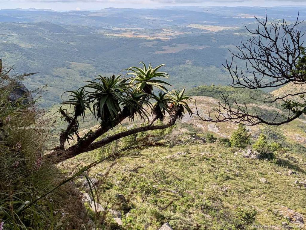
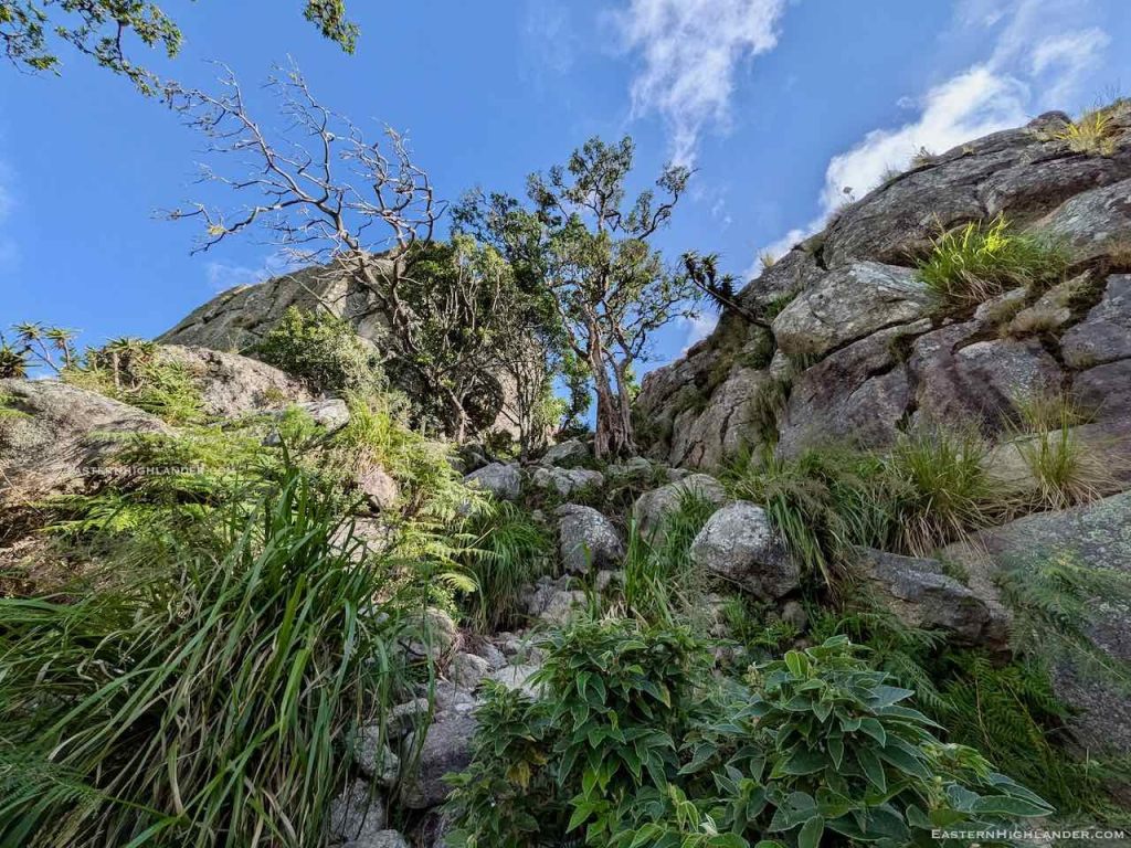
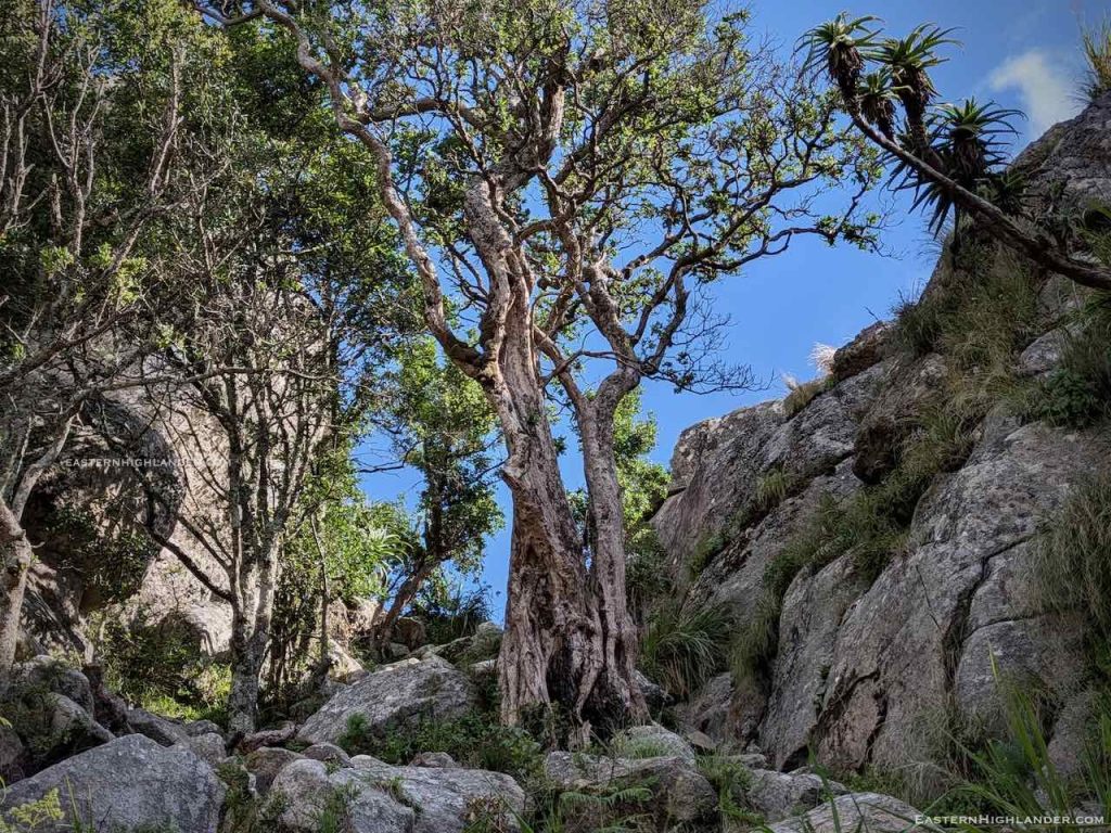
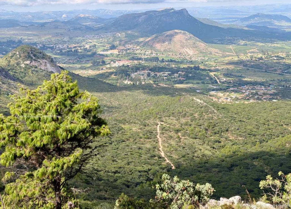
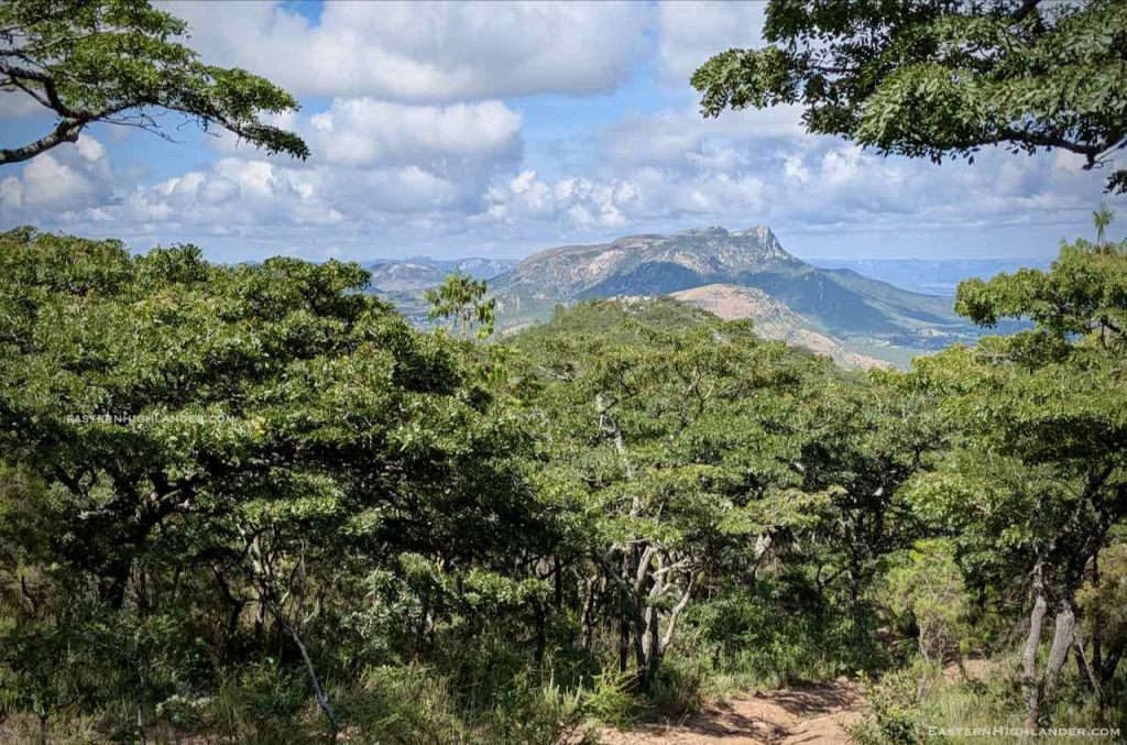
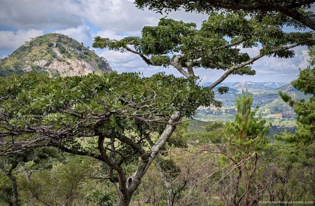
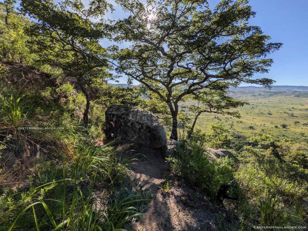
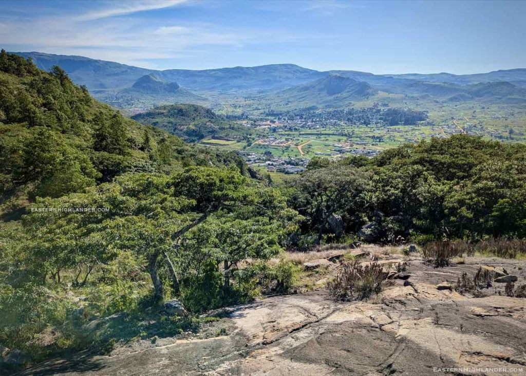
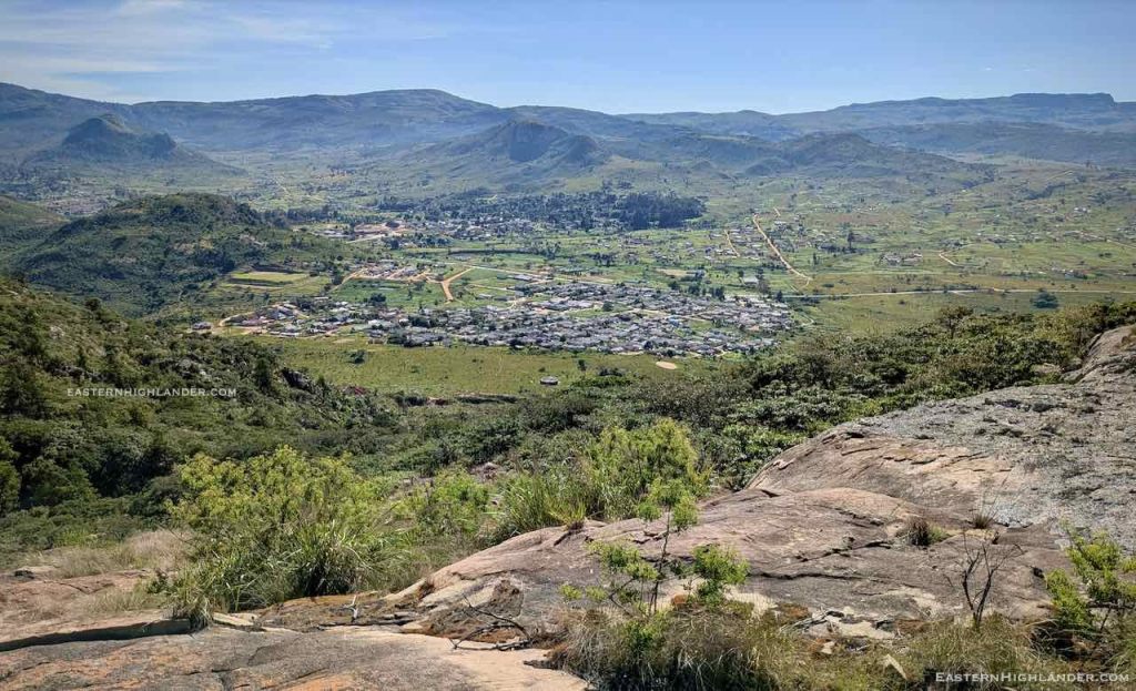
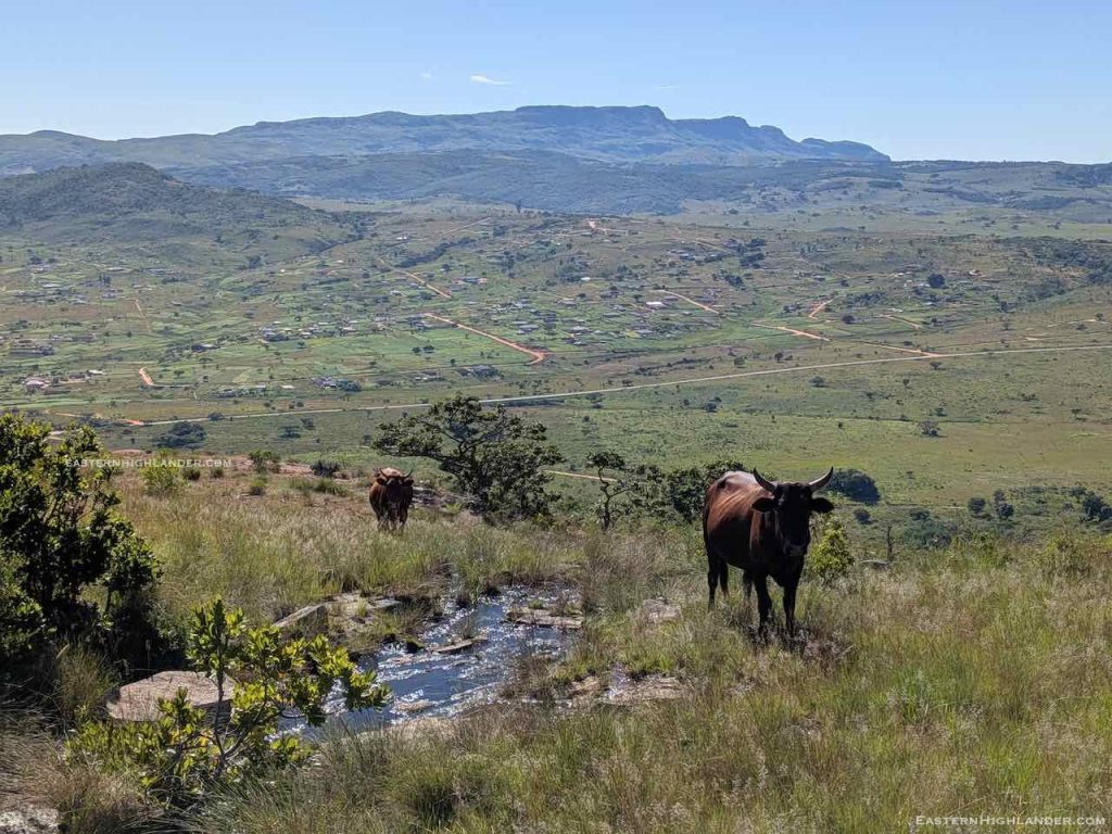
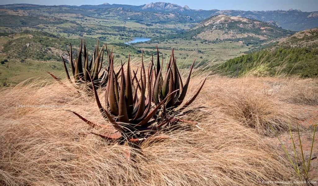
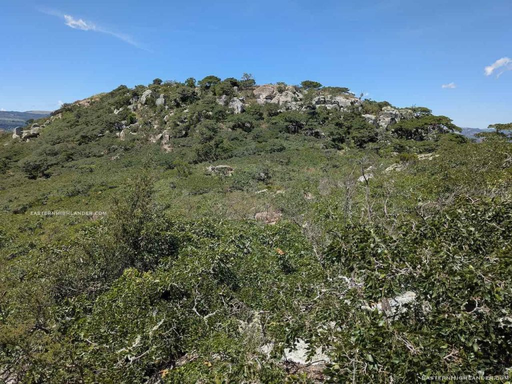
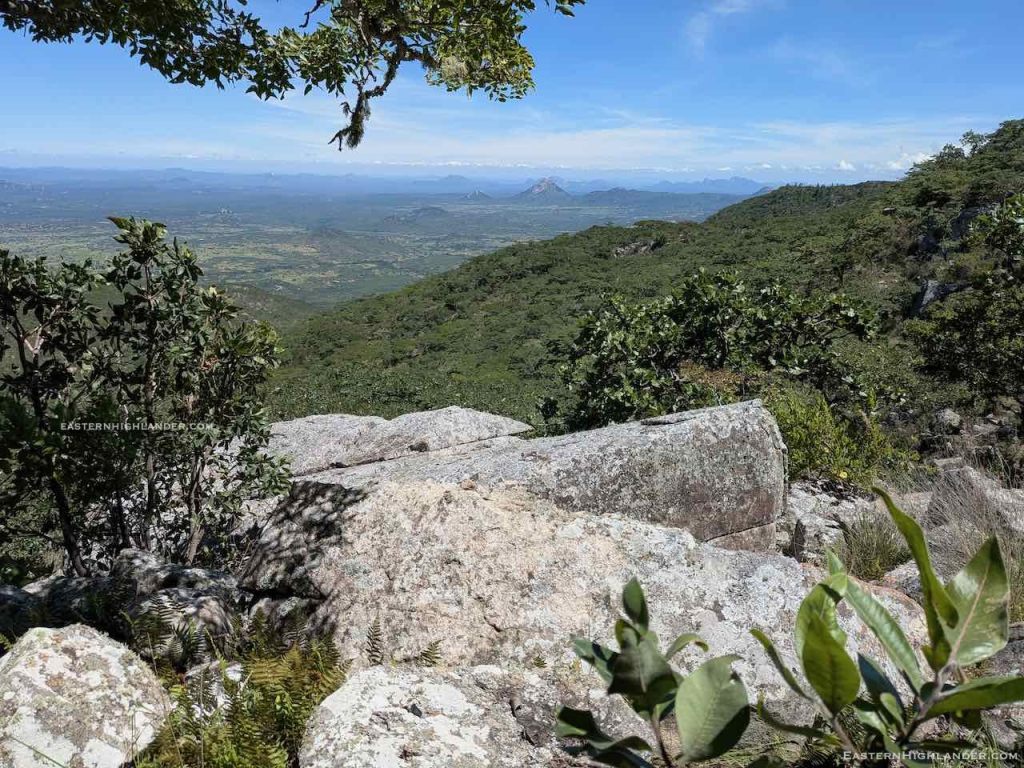
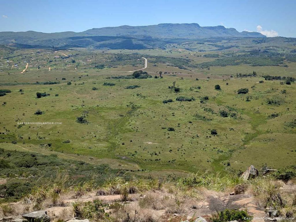
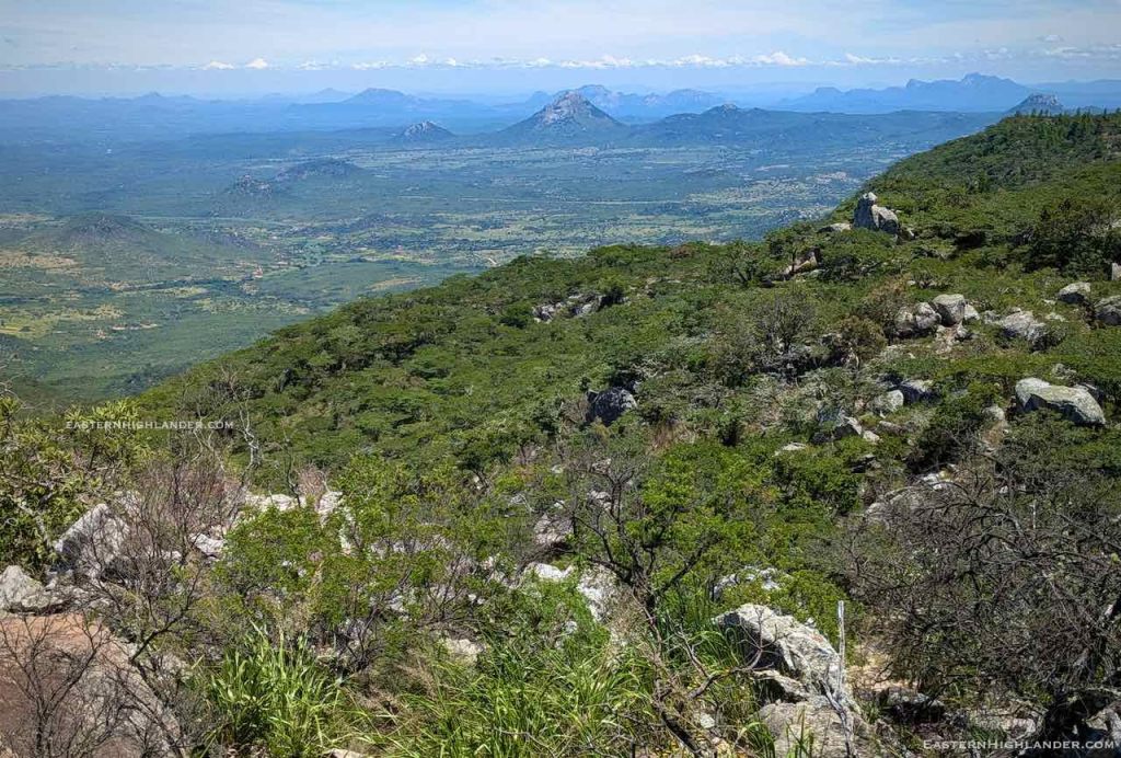
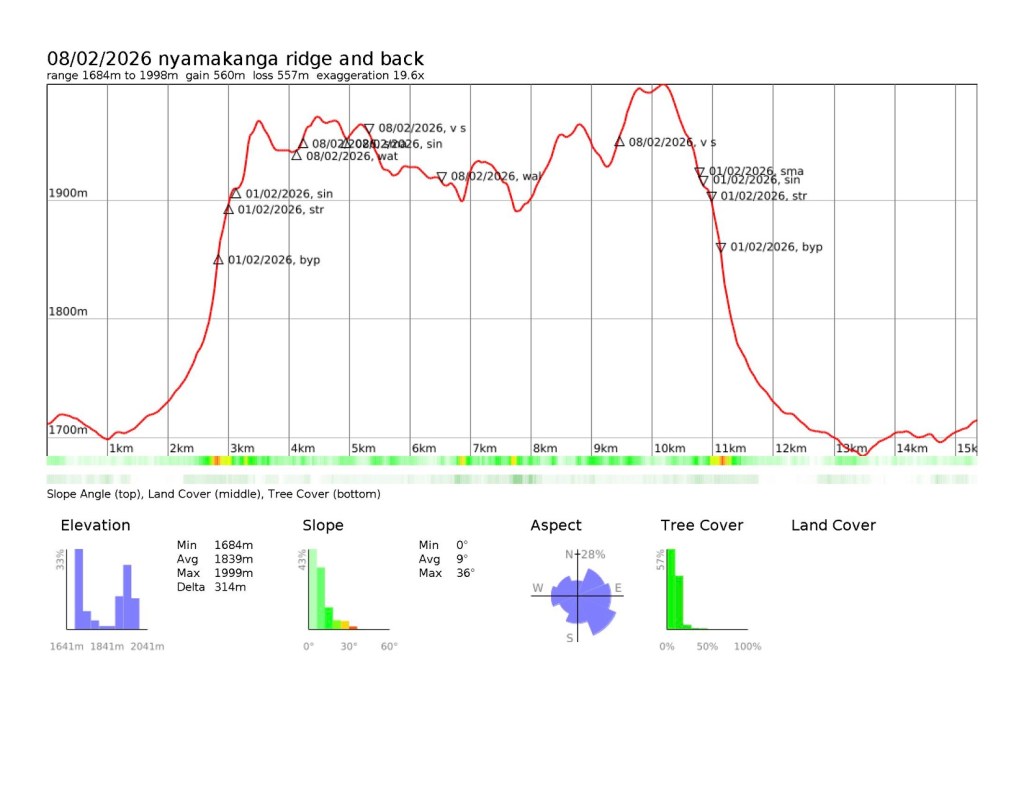
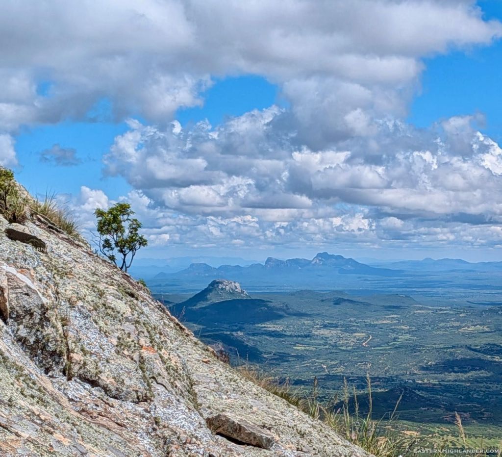
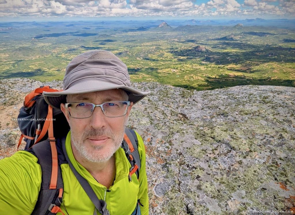
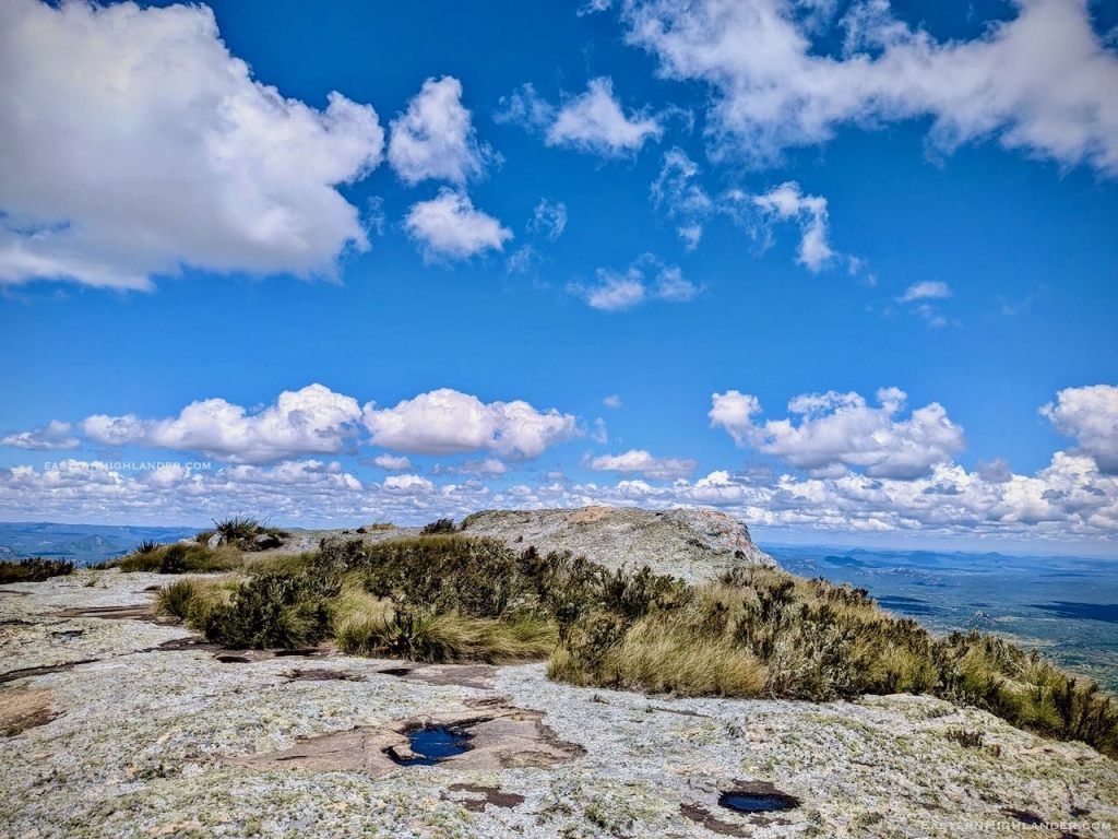
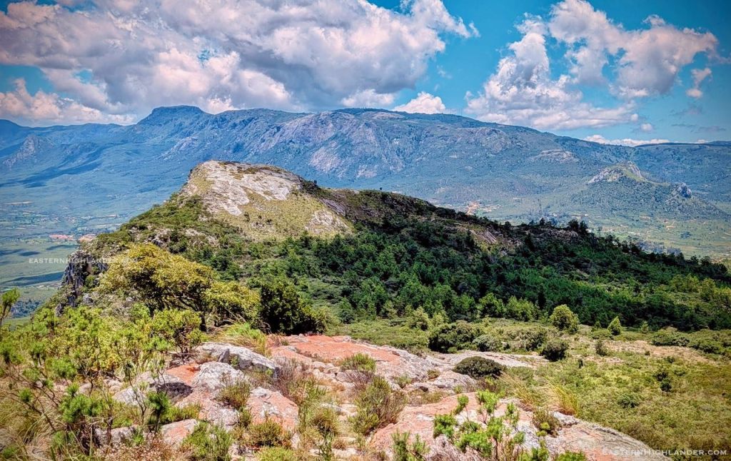
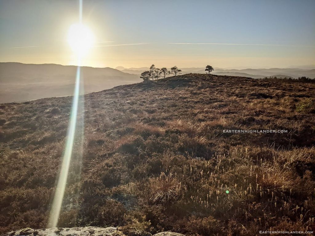
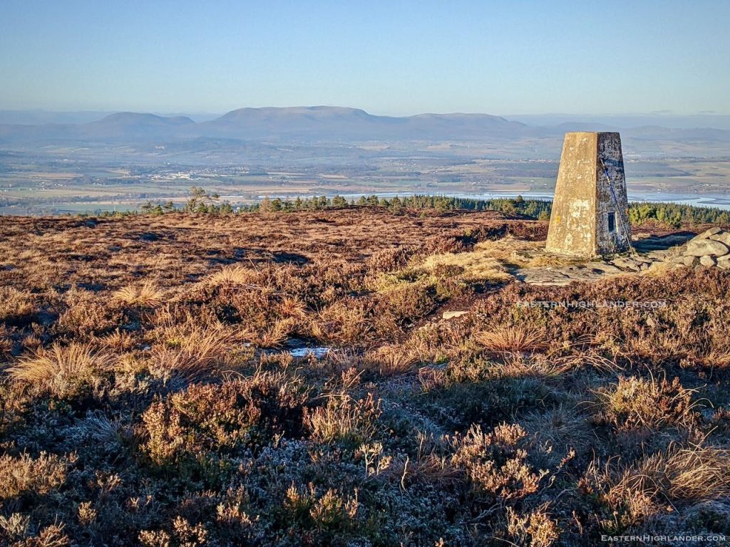
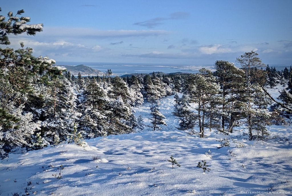
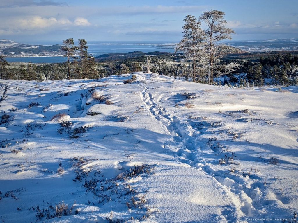
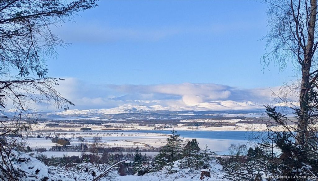
More of a climb up than other routes perhaps – but look at the views from the escarpment!
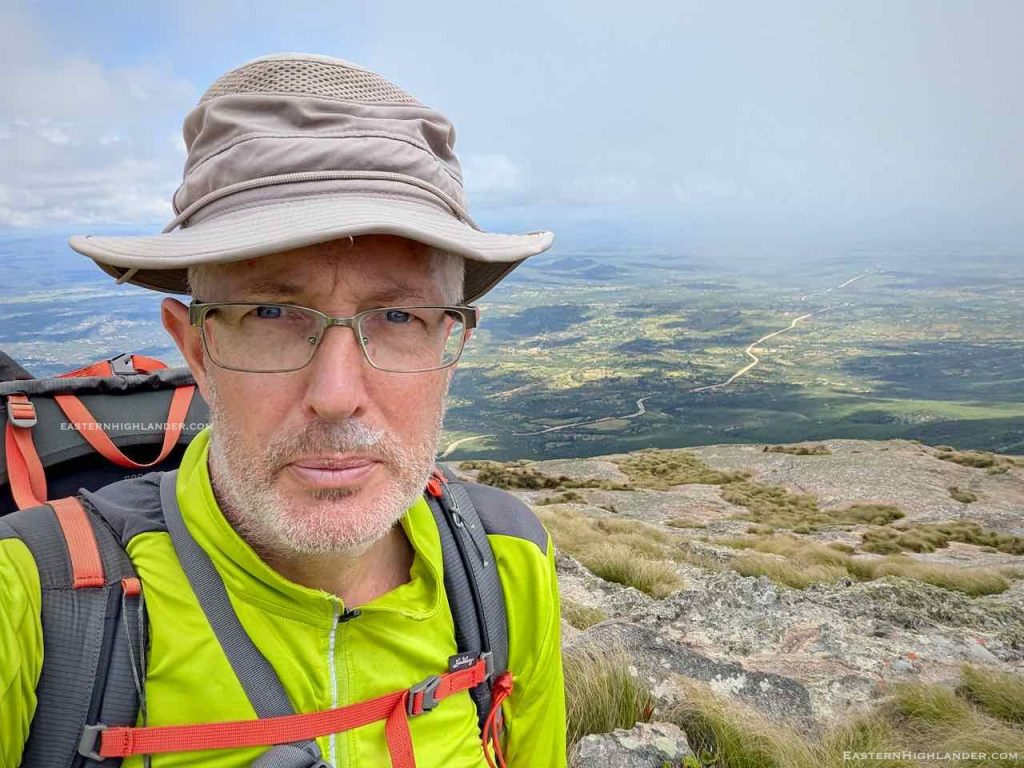
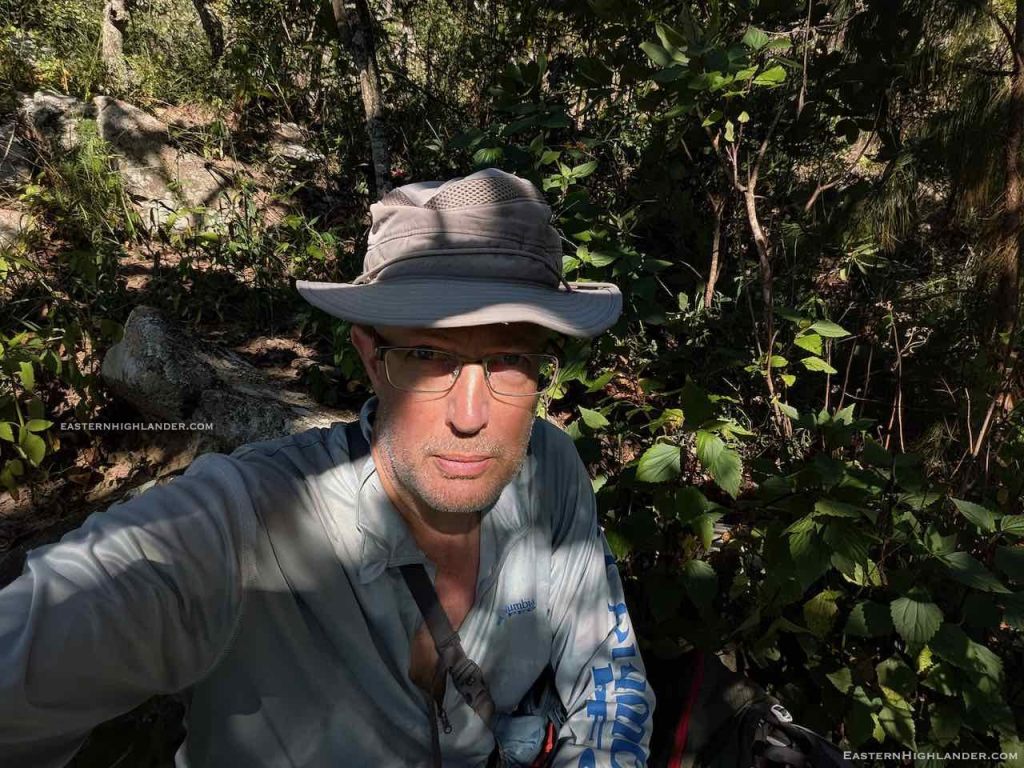
This was also a test of AI’s ‘more salt – less water’ doctrine, and it worked. Peanut butter and salt sandwich, with crisps and a boiled sweet every 30 mins – to replace the salt sweating out of my system.
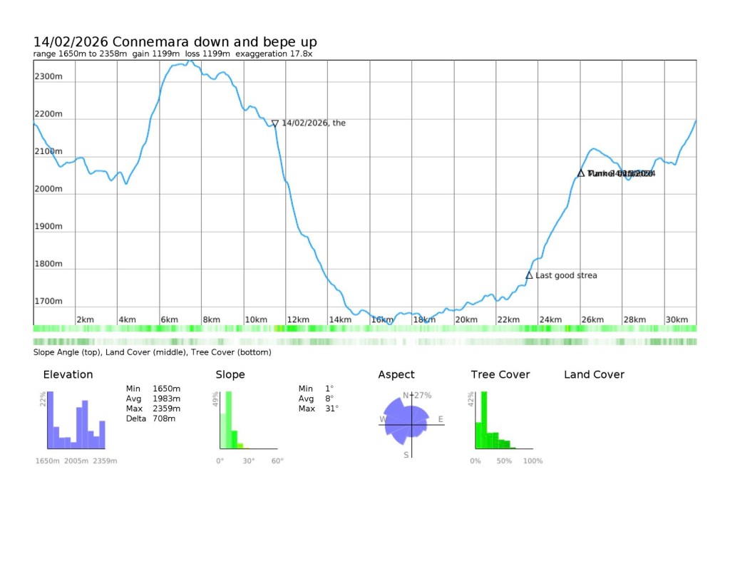
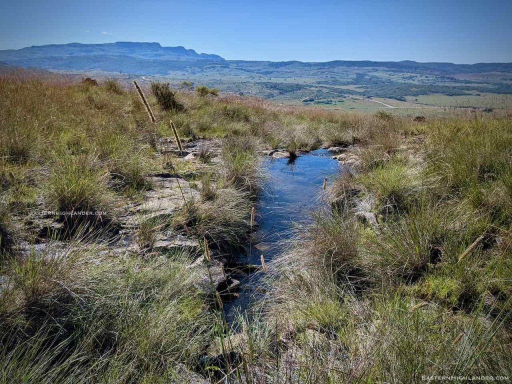
Only 1.75 litres for the whole walk and climb up!
Grace picked me up in Troutbeck so no slog back up to School – chips instead!