August 2025.
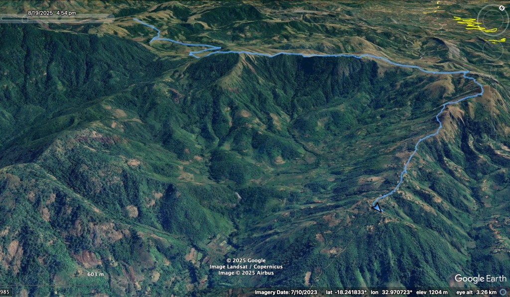
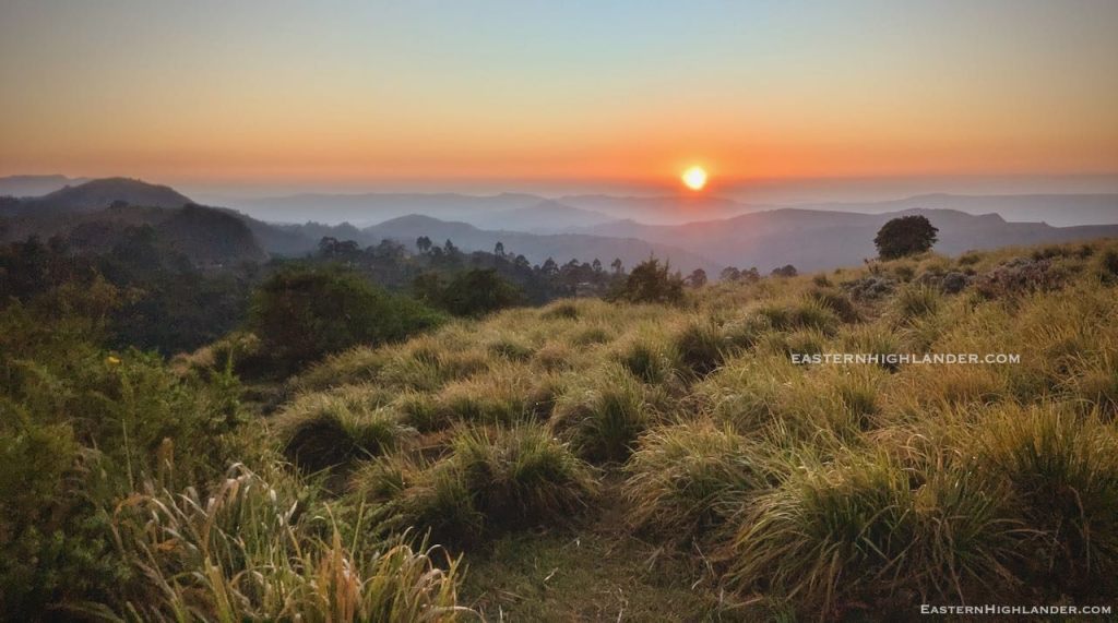
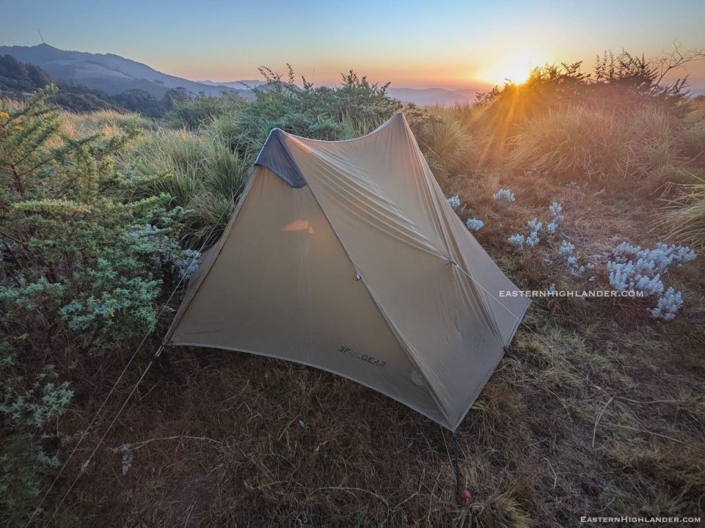
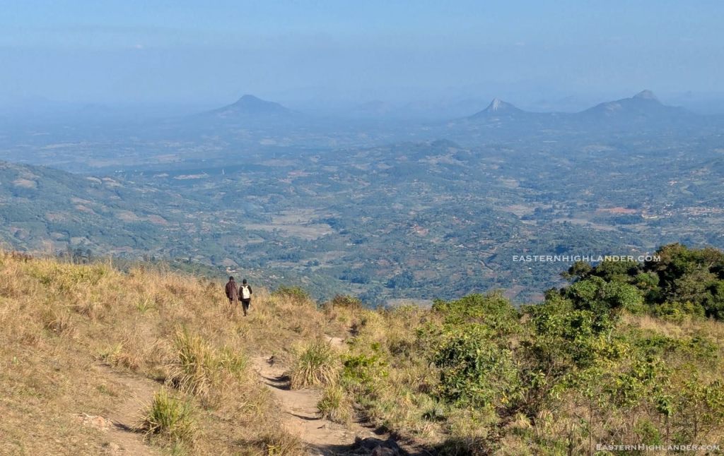
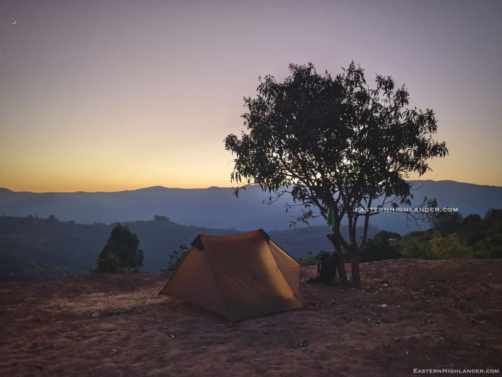
Well, walking from Troutbeck to Honde has been on my bucket list for quite some time – more so since I ‘discovered’ the high pass last year, 4km further south of Nyafaru – and this trip does not disappoint – just look at the sunrise on Day 2:
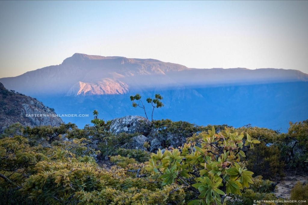
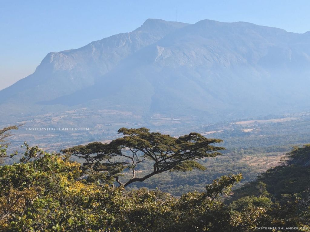
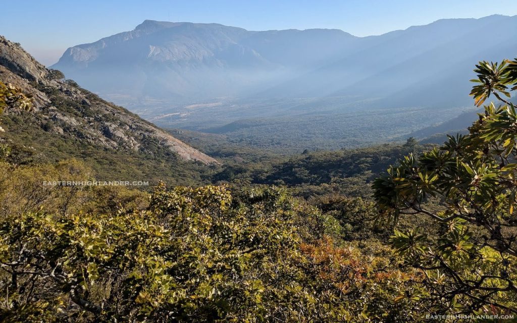
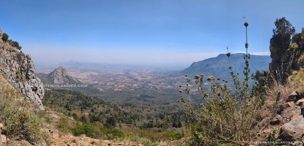
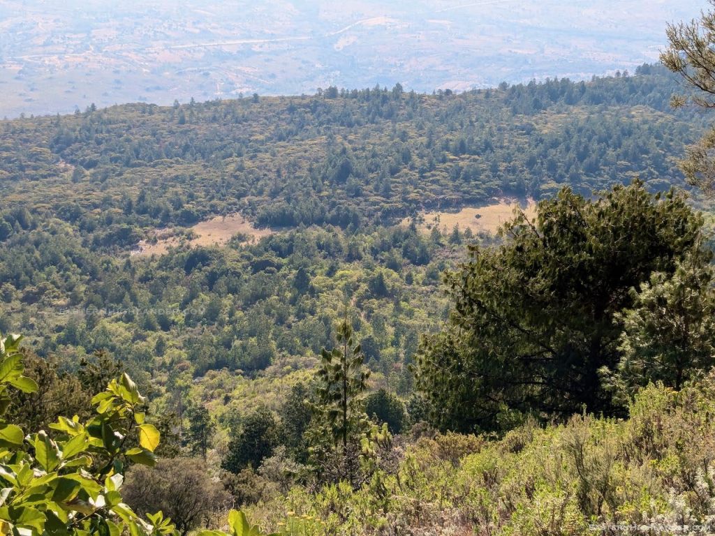
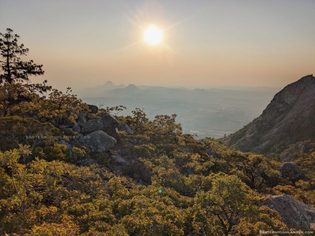
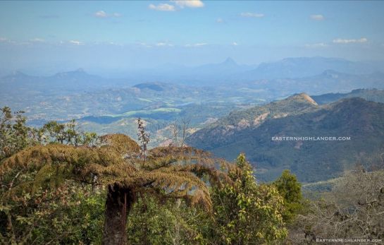
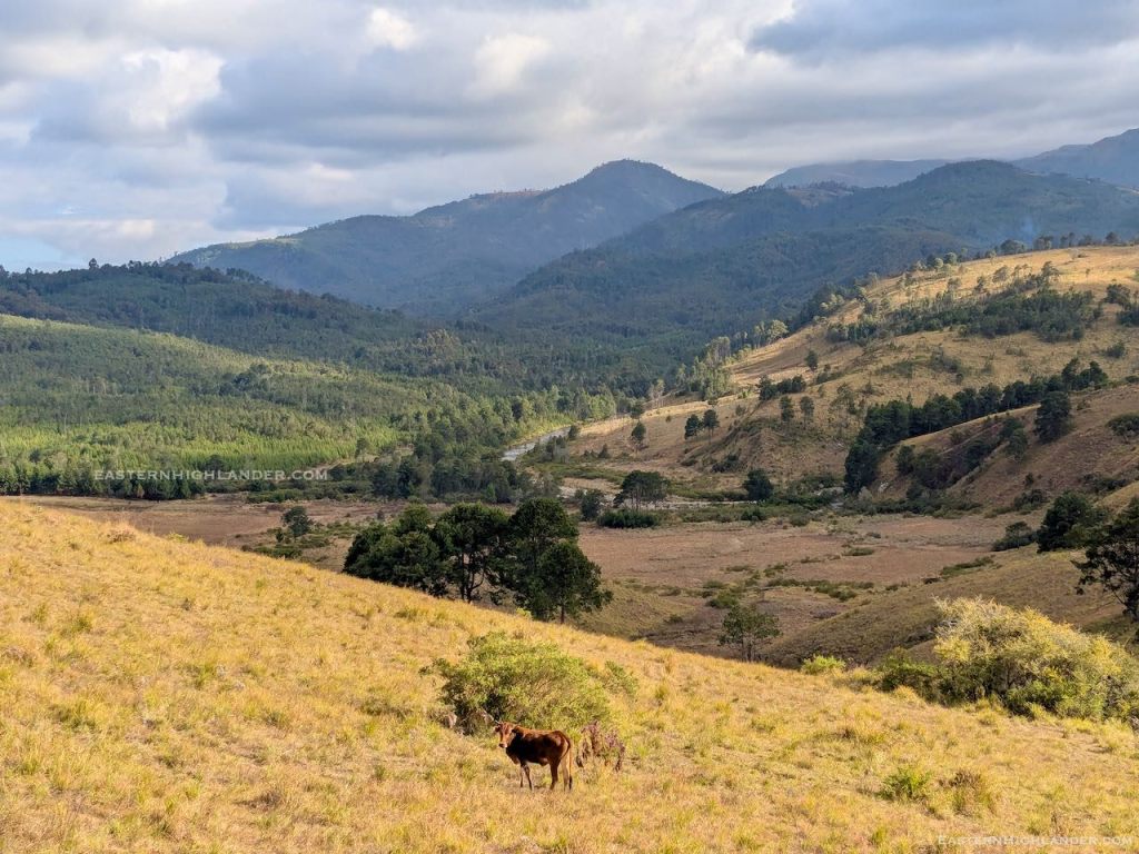
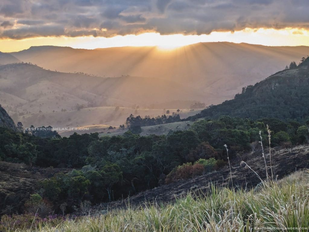
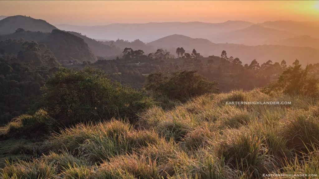
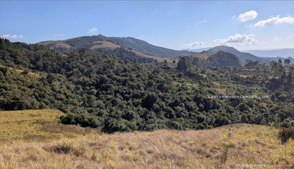
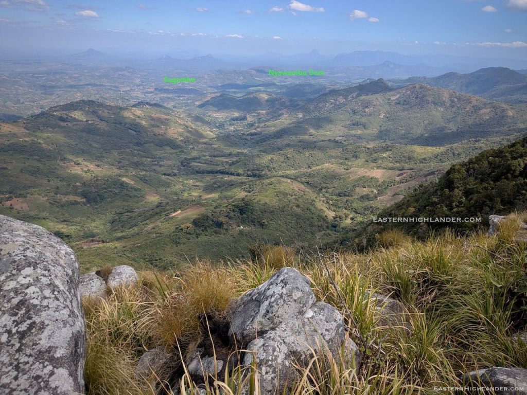
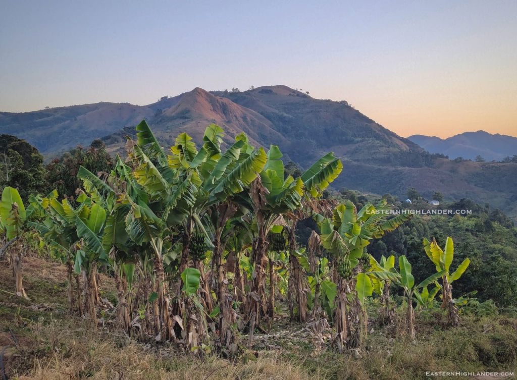
And later in the day, looking down into Honde:
Day 1
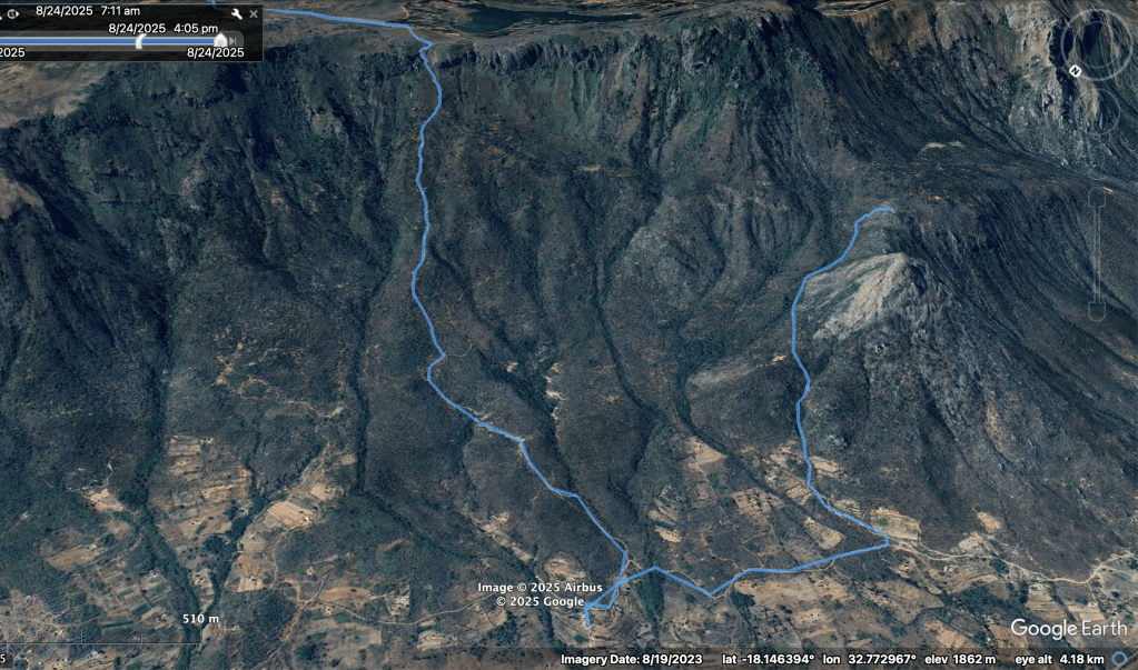
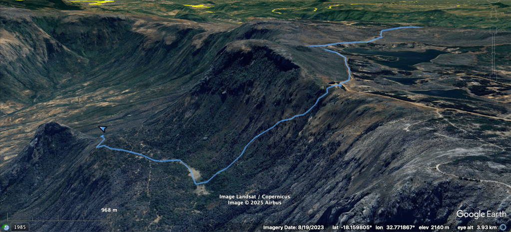
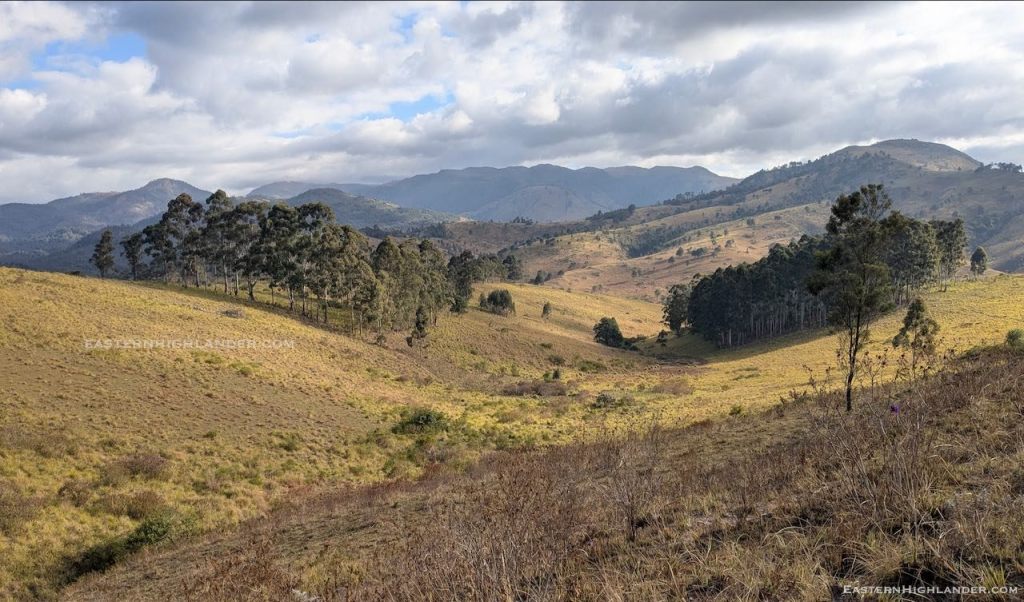
The walk in was my now usual – and not so scenic in winter – trip from Troutbeck through the woods and over the hill, dropping down to the extended Dazi area, across the Menzi and then shoes-off-crocs-on across the Gairezi at John’s Shack.
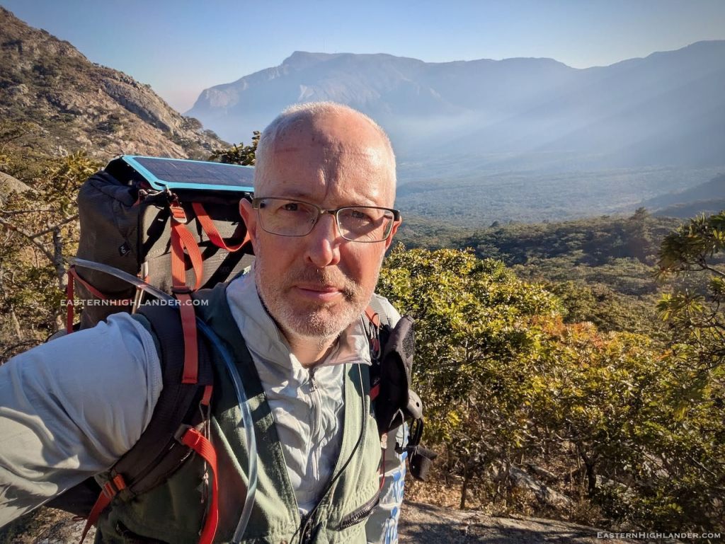
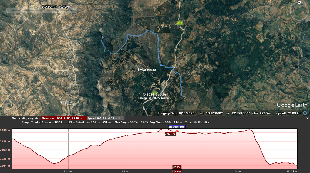
I left home at 9:30am intending an easy-ish, not-overdoing-it, first day and a low camp, but the inevitable just happened and the distance-eating, stretch-goal was to get up onto the ridge so that I could wake up to views of Honde valley. I ended up clocking 20km with my 17kg pack on day 1.


Day 2
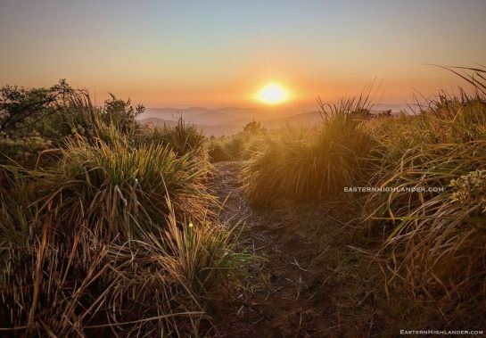
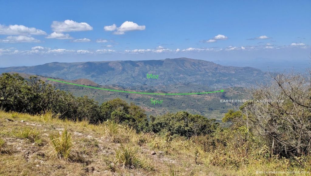
Just look at the sun rise over Mozambique! Totally worth the effort yesterday. Good job I was up early because at 6:30am a work crew passed me on their way to clear a fireguard.


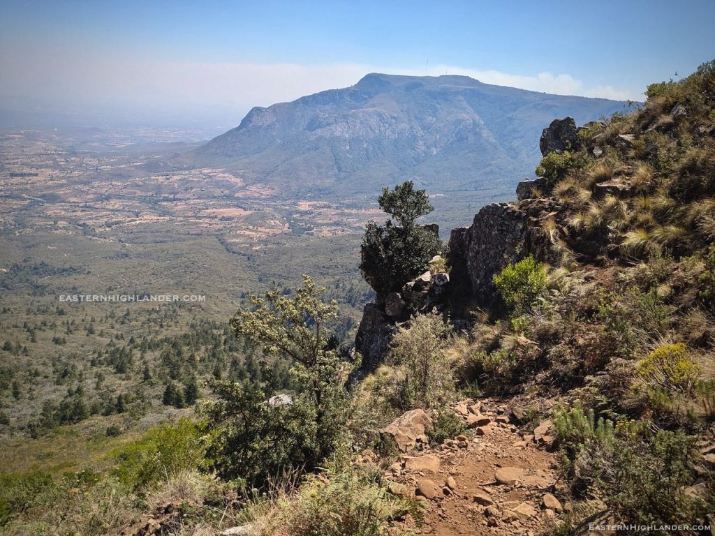
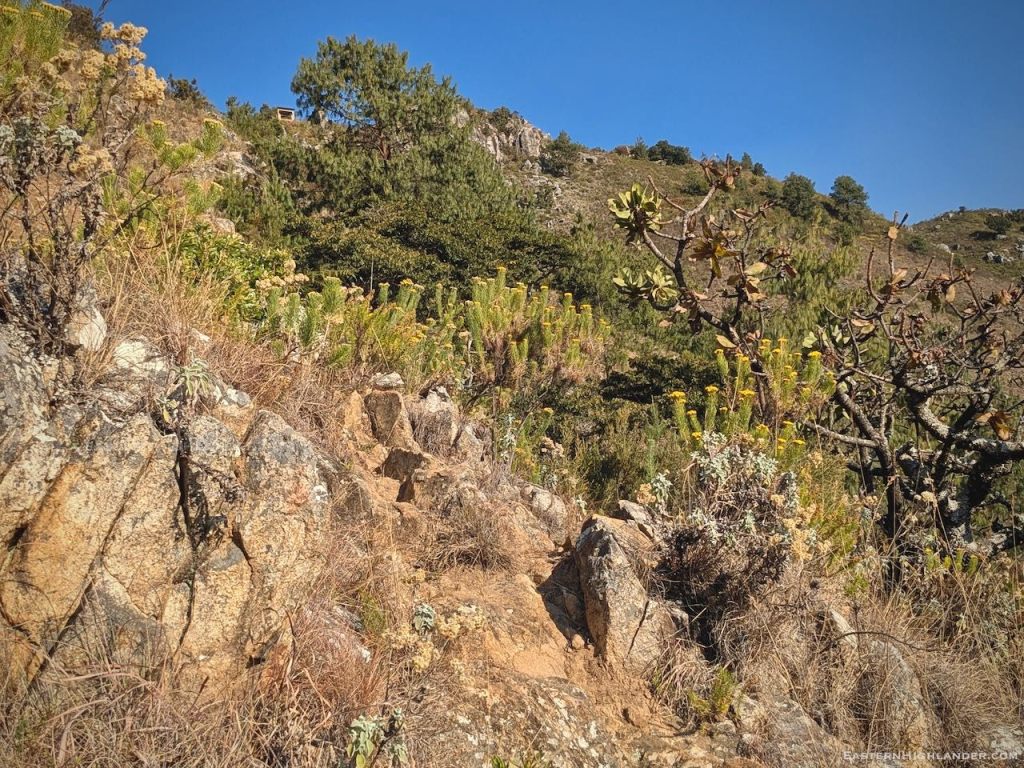
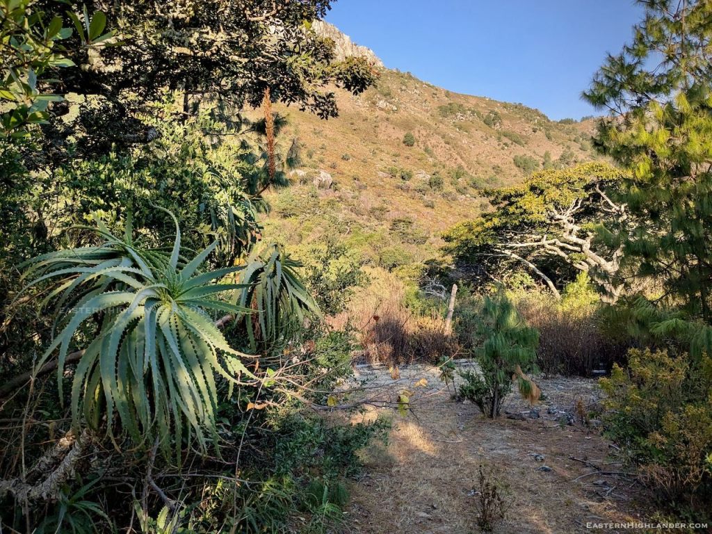
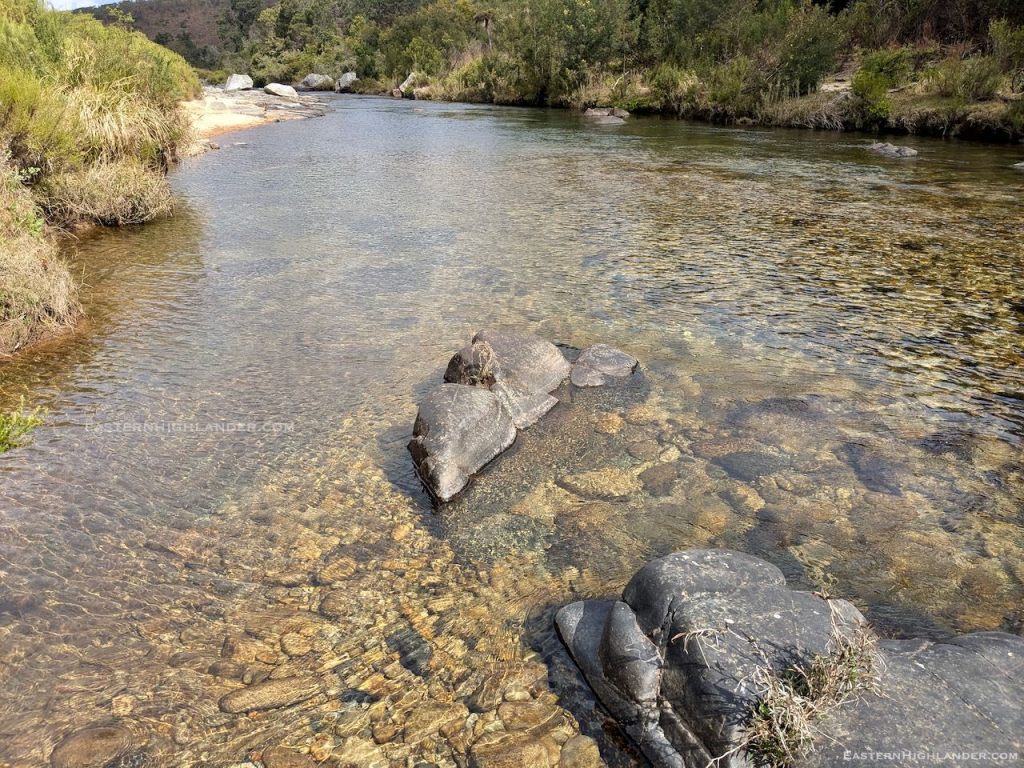
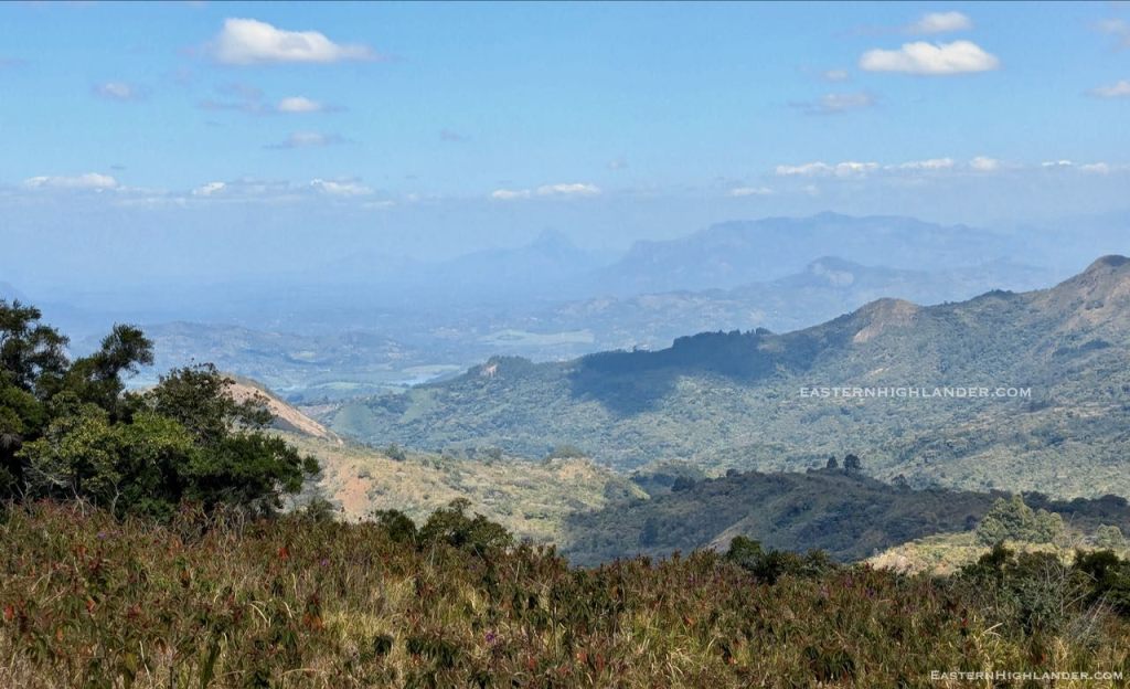
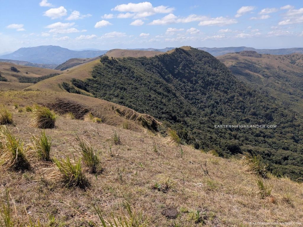
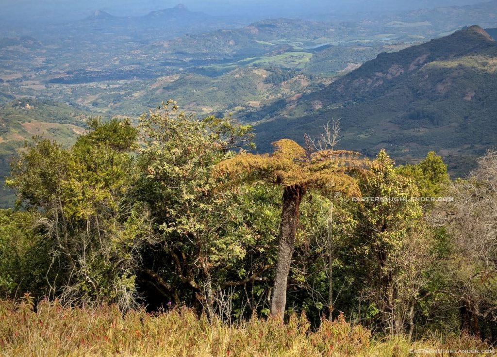
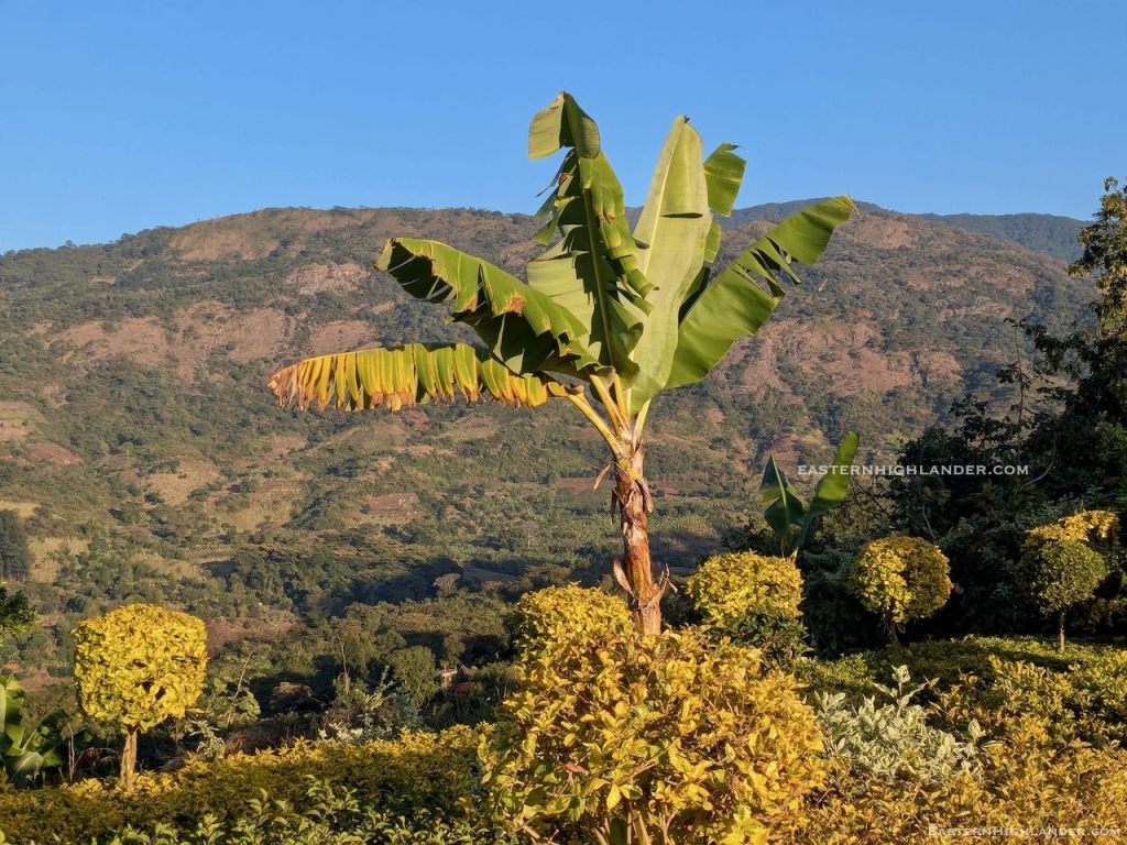
Down in the general direction I thought I needed to be going. I tried a spur as an interesting shortcut but that ended steeply and I retraced before dropping further, going through a couple of small farms. Tramped on and almost double backed south to get to a low river crossing with log bridge and a food stop to dry the tent. Thereafter all uphill to get onto the ‘ridge’ peeling off from the more direct path down to Sagambe and Aberfoyle. Tough going after the 20km yesterday but the views were going to make it worthwhile I was sure. Gum to start with then Msasa. The way cleared on top to long grass to the north with rolling hills and the Afromontane type forest dropping very steeply to the south – see pics with tree fern.
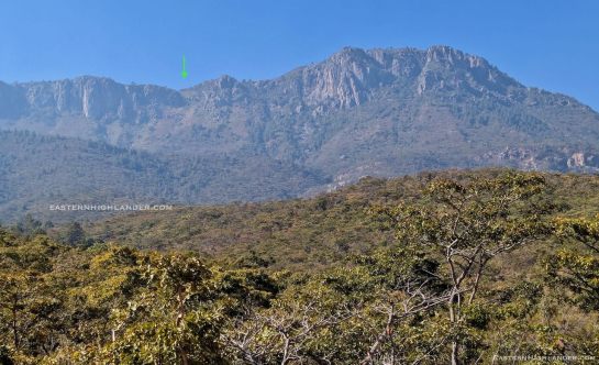
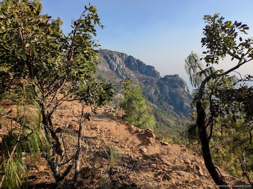
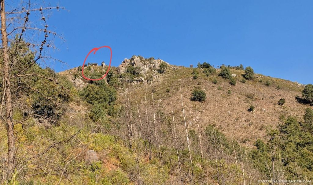
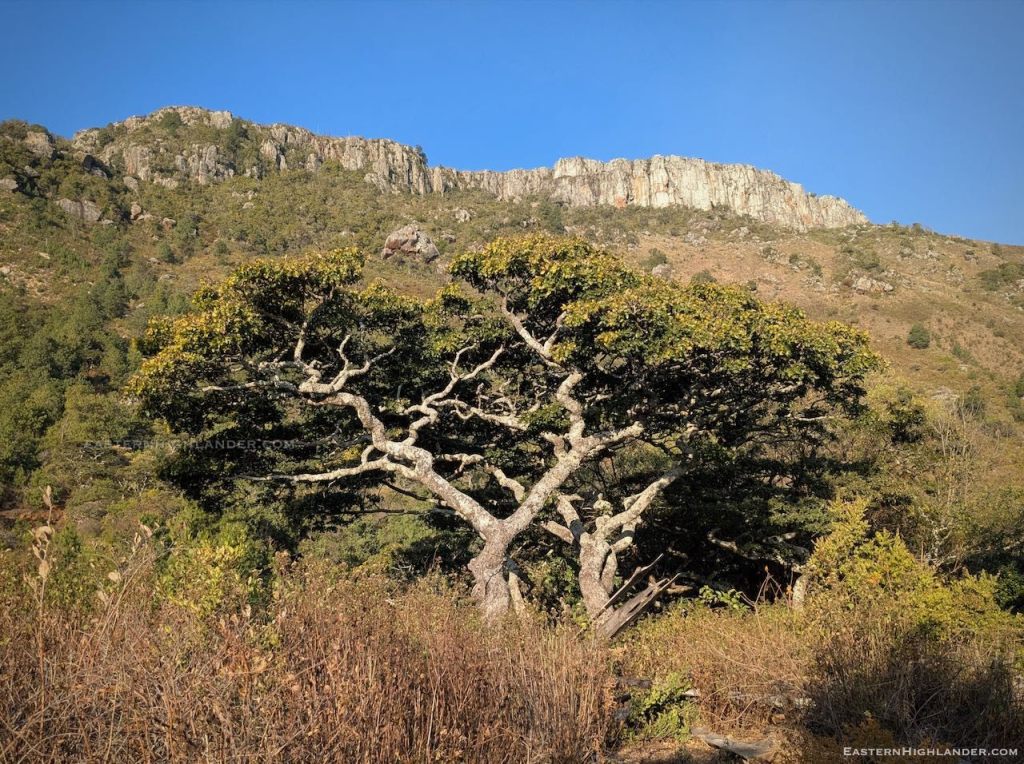
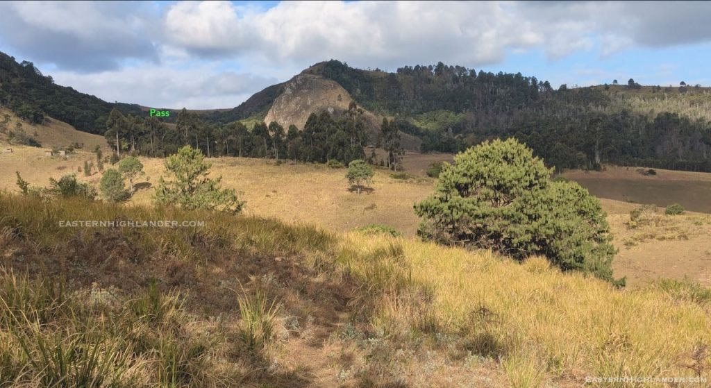
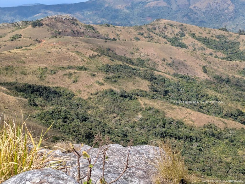
Reasonable path on the ridge though it circumvents most tops and you have to make a special effort to go up them for the views south into Honde. The last top is rocky and has the best views of the onward journey on the downward spur and across to Mozambique. Later, looking back this top appears to have a vertical face on the south side.
Descending, I decided not to try for Magadzire or another set of hills I had in mind – the 20 km had worn me out – so I passed some houses and found a shop, on its own, seemingly in the middle of nowhere. Thinking more, I decided it was located at the top of the climb up from the valley floor, and, low and behold, a donkey train passed by before I could snap it. You will now find Chazanawako shop on Google maps though not yet on Google search (28 Aug 2025).
The shop owner also had donkeys and collects the dung, selling it for $1.50 for one of those giant sacks – about three times the size of a normal sack, or he uses it for his own banana plants further down. Anyway, this was a useful refreshment stop on a weary day and my last rest in the hills before heading down the spur towards Sagambe.
15:30pm. It wasn’t long before two lads passed me, introducing themselves as Trevor and Kudzi from Troutbeck Hotel – they were on their way home having left Troutbeck that same morning! Hmmm. Younger, fitter and not carrying anything. Their route was Nyafaru, Magadzire and various shortcuts they said.
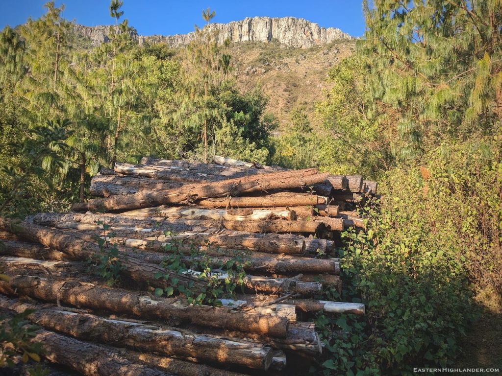
Further down the path widened and became the route for people walking to their small holdings on either side of the spur. I could see a truck loading green bananas. At this point someone spotted me but I was not to know until I got home!
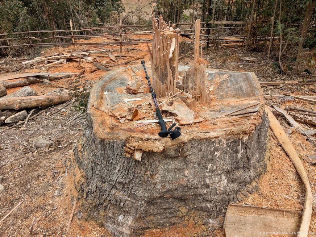
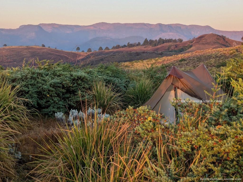
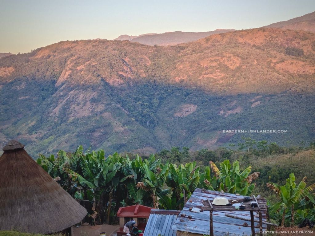
Around 5pm I called it quits and got permission to use a recently cleared house site for my tent – see pics. I had about ten helpers to put up the tent and bang the stakes into the hardened surface. Photos all round. Bath, as it was ‘town’ the next day! I was warned to be up early to be guided down as the bus was to leave Sagambe at 8 am.


Day 3
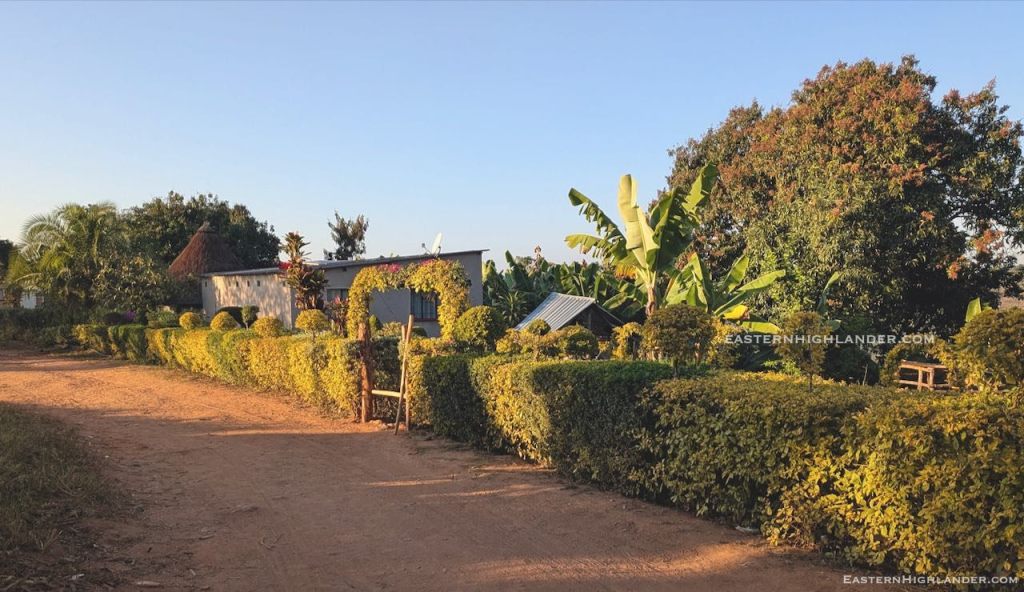
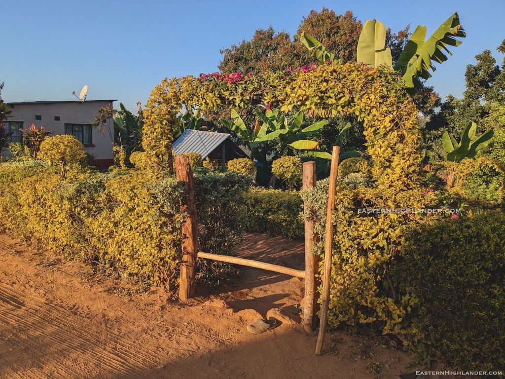
At 4:30 am I was having my porridge, packing up and taking pics. The real sunrise was the other side of the Mozambique mountains so nothing like the morning before. Around 6 am I was taken to another house to meet the rest of the family, then headed on down – see pic of the topiary on the way. Was going too fast for proper picture stops as I couldn’t miss this early bus. Ended up eating 7 km in record time.


The bus takes 4 hours from Sagambe to Selborne with an infinite number of stops on the way for more, and more, and more and more to get on. Best experience it yourself! At Selborne I was whisked into a shikashika, with only two other passengers, at that point, for Nyanga. There was more drama on the way but that’s for another day.
Great trip – with plenty of scope for more!

And if you though having a kid on your knee for an hour would spare you from the crush … you would be mistaken!