Happens every year to some extent, then every five years is a big one like this! Especially so after the lack of rain in the rainy season. Elsewhere eg Nyanga National Parks, fire is bringing down the electricity poles and the sky is glowing tonight.
Don’t get me started on causes but it is deliberate. Three days before we were fighting a smaller one at the other end of our place. After this new fire the burnt places are now joined up on two sides around us – hopefully giving us more protection.
Anyway, Saturday it was touch and go as may only be imagined.
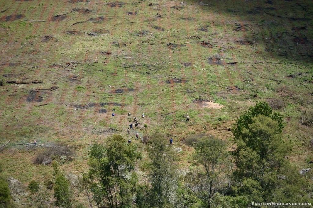
All hands on deck situation with the ladies carrying 20 L buckets of water on their heads over rough ground, continuously for about 5 hours. Without this water we would not have held the fire at our boundary.
We had made fire beaters a couple of weeks back – just after we did a planned burn with our neighbour – itself a risky enough procedure – along the 300m stretch we share. We had also started to remove the very combustible ‘Hanya’ / ‘Bankrupt bush‘ (Seriphium plumosum L.) along our fence which certainly assisted us in keeping the fire relatively controlled during our enforced ‘back burn’ in the afternoon and early evening.


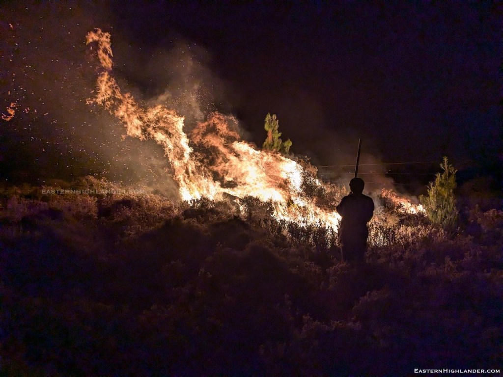
Jumping in time to about 7pm and this is us desperately back-burning ahead of the real fire reaching us. Of course we lost control a couple of times; then the regret piles on.
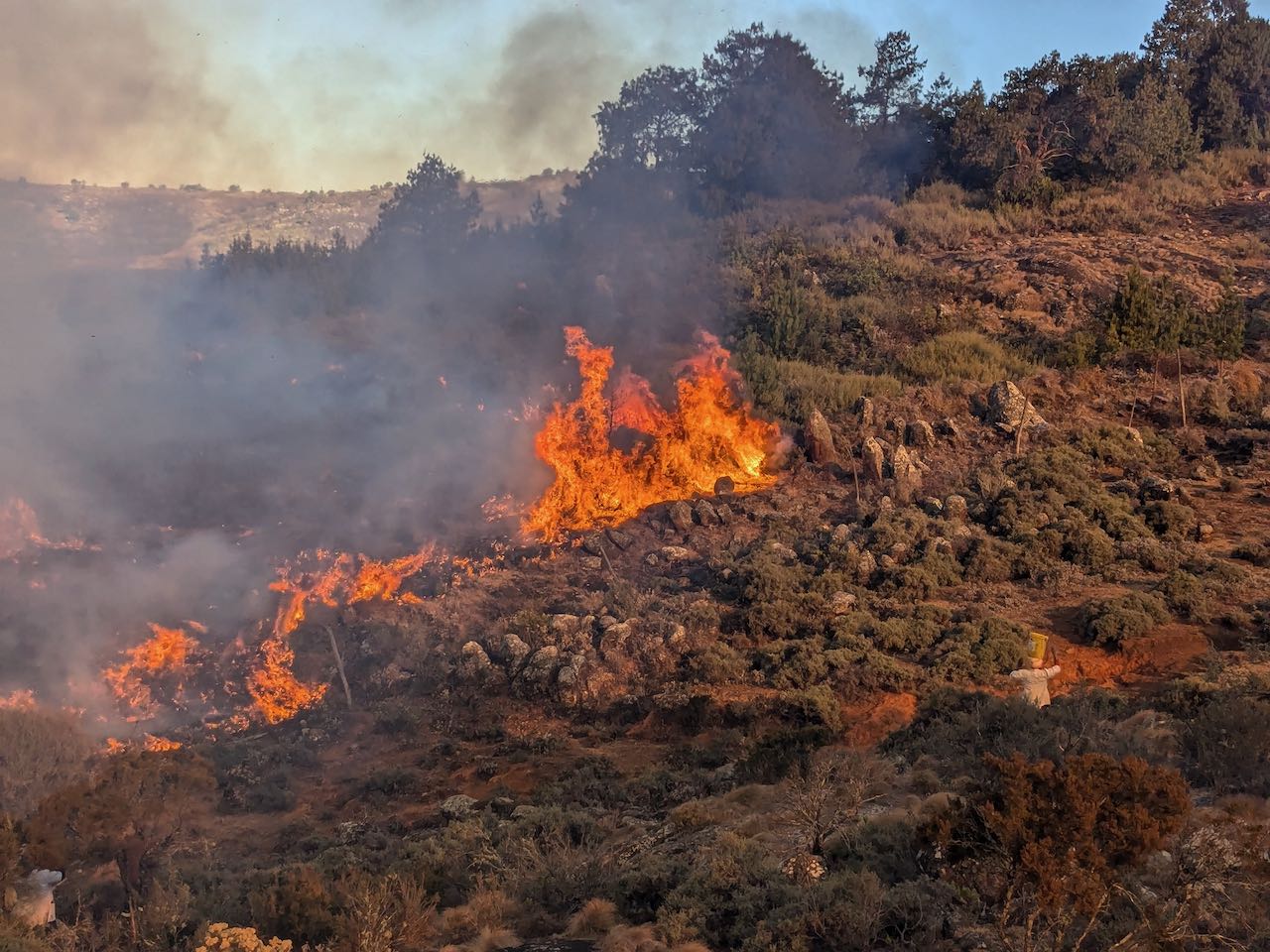
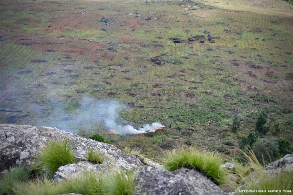
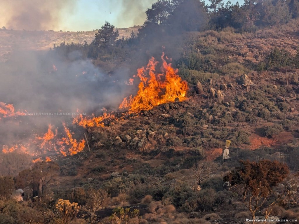
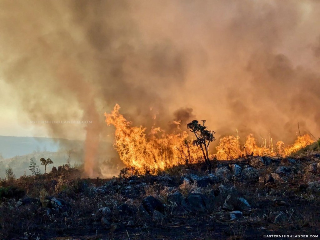
During the afternoon we could see more smoke and I went to investigate, hoping it had not crossed to us. We had to address this new front much closer to the house. The fire had crossed one pre-burnt fireguard to get here. Now, was it going to cross this one into our place? (Fire decides to jump on the wind so however wide your fireguard you are always at risk.)
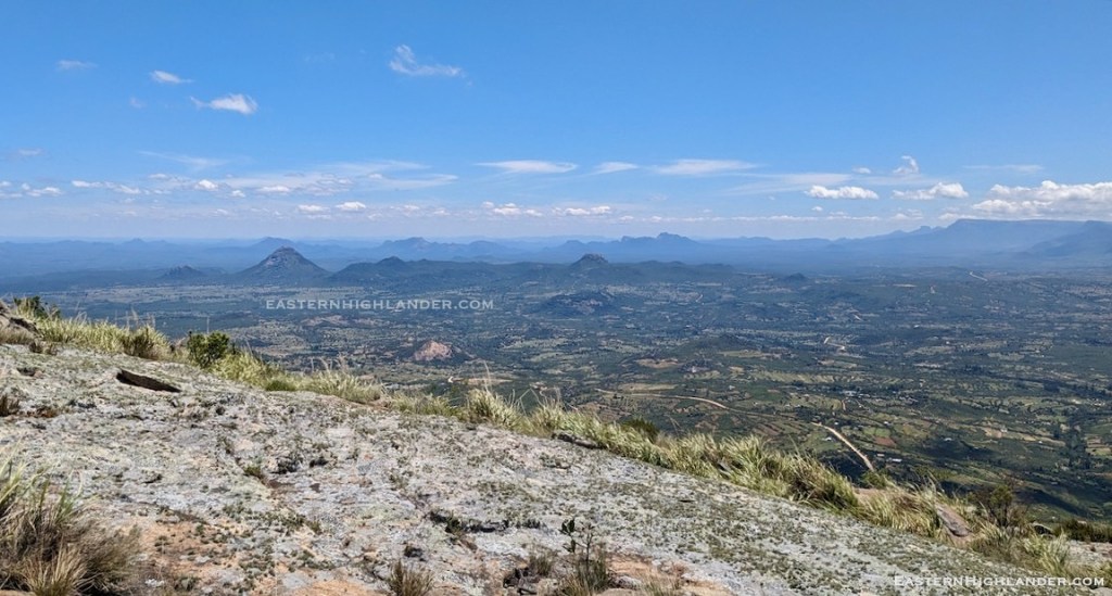
Anyway this was the scene to start with:
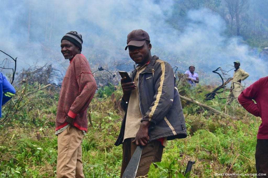
I wasn’t down here for this part of the fire fighting so no pics. The fire did cross sporadically; with more water carrying and beating it was contained.
Of course this results in quite a bit of polite negotiation over the phone as one front wonders why the folks at the other front don’t just finish up and come and help where it is really urgent!
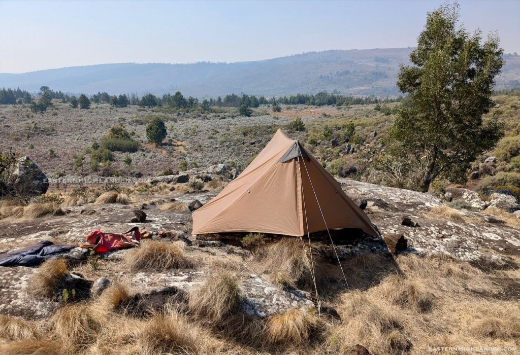
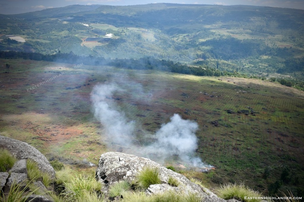
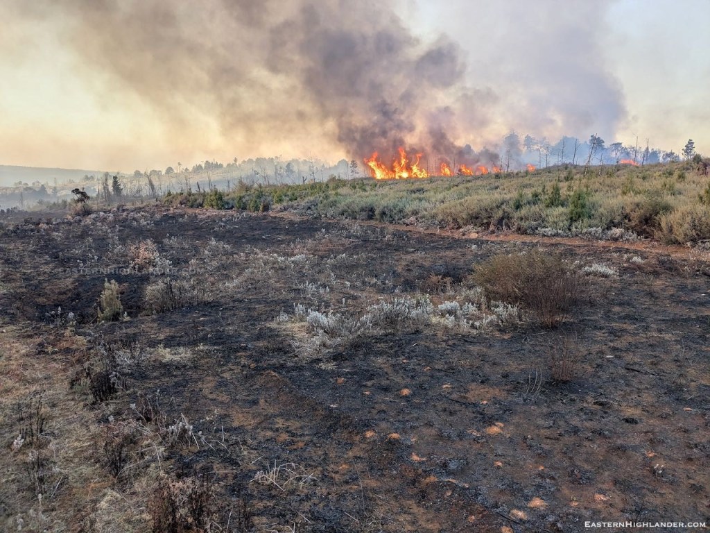
These pictures are of the next day. And it is still smoking here four days later, today. The fire dies down at night then picks up with the wind the next day.

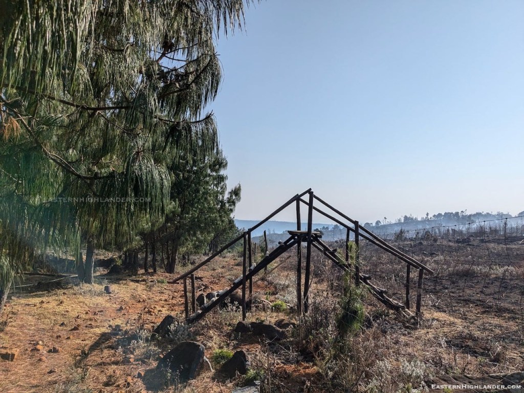

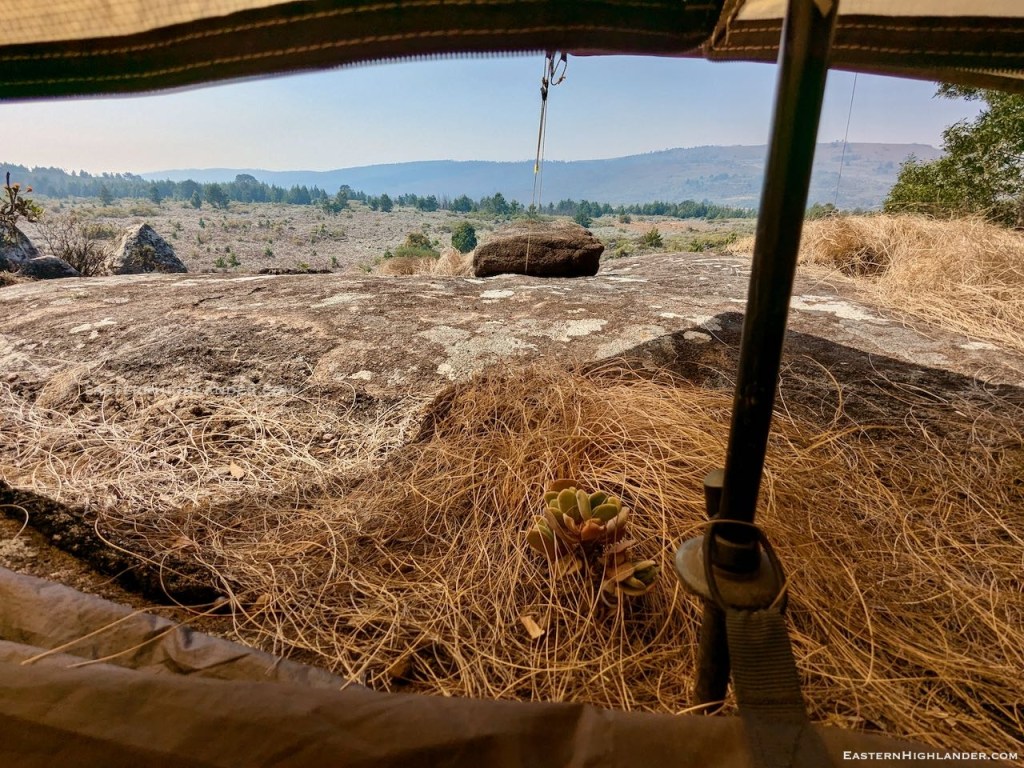
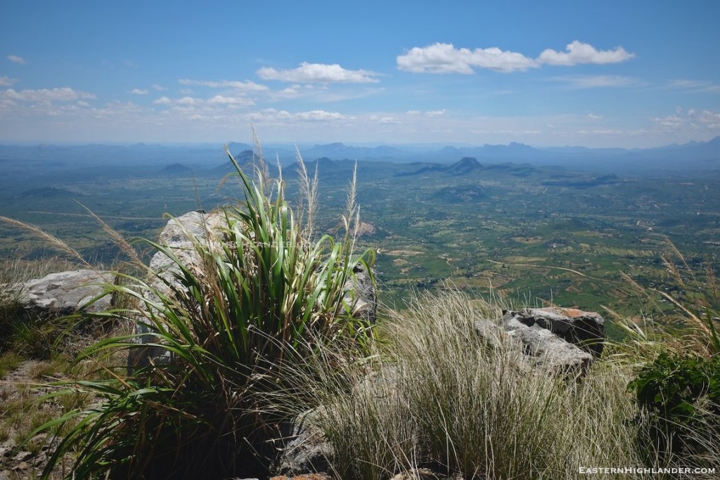
Below, the view where the early pictures were taken close to where we first met the fire.

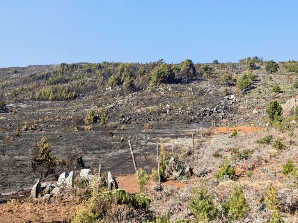
Often the roots and pine needles keep burning just under the surface for days after. And every down and then will catch something on the surface and the fire can kick off again.

Survived another one.