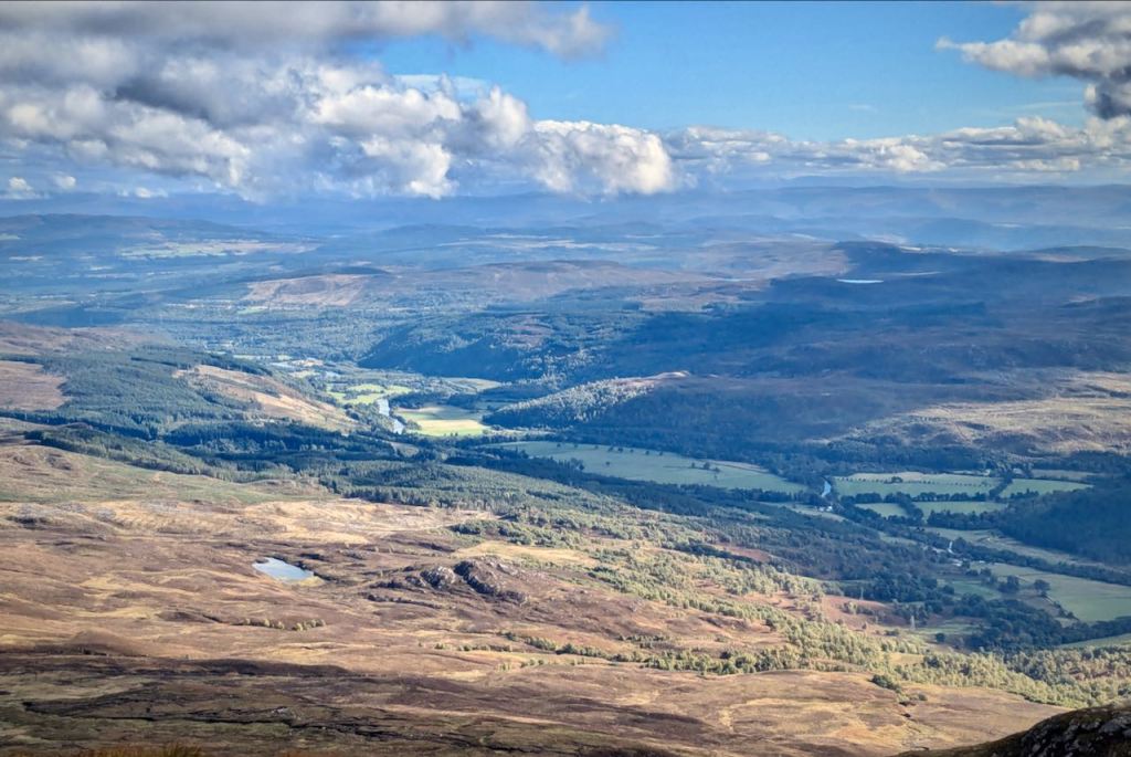
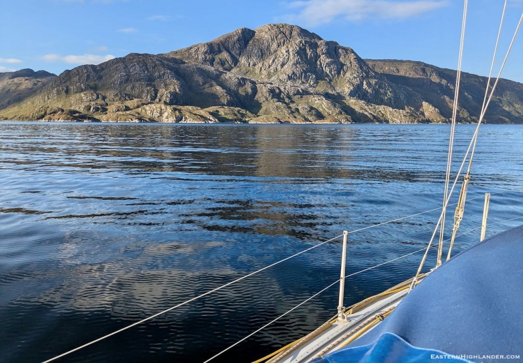
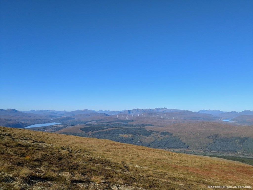
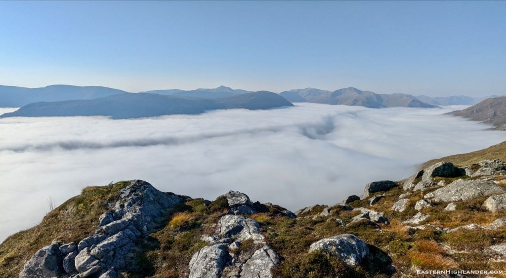
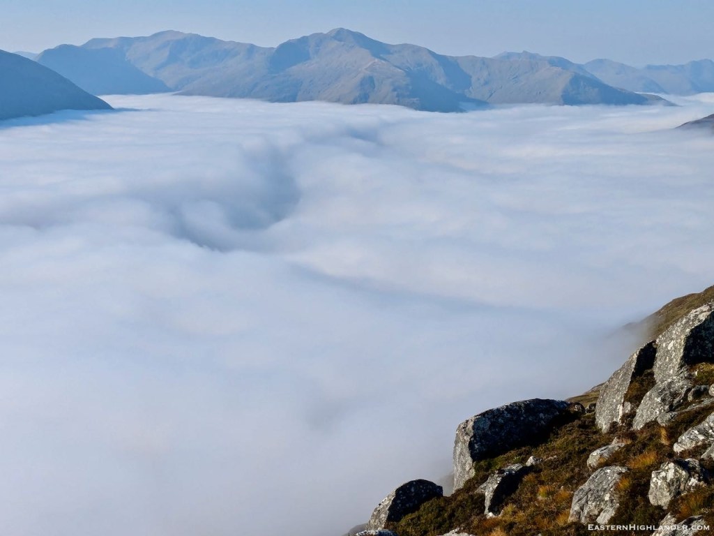
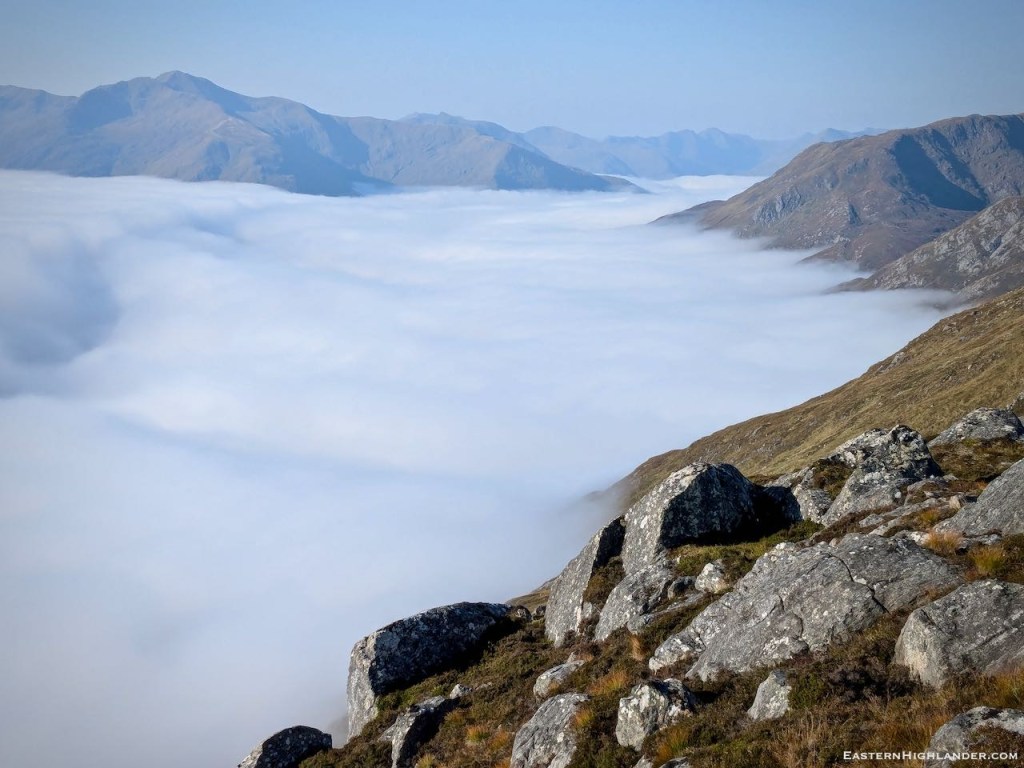
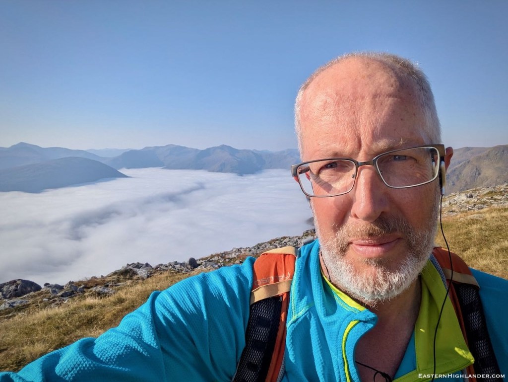
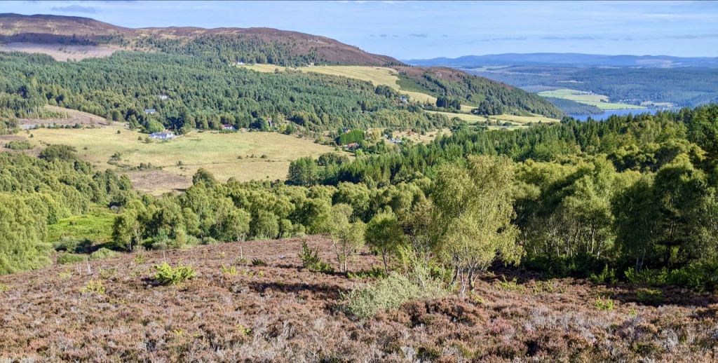
And it’s on our doorstep from Inverness. An easier drive than Glen Affric and just look at the scenery. The only fly-in-the-ointment being the 330 kV pylons through the middle of the glen!


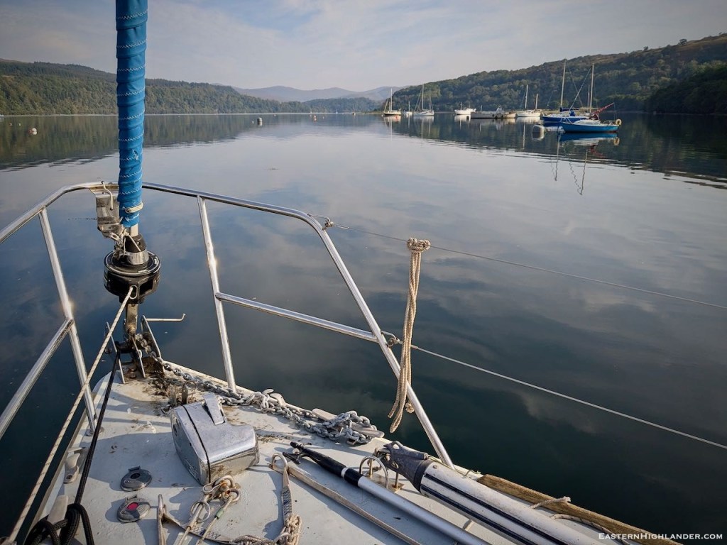
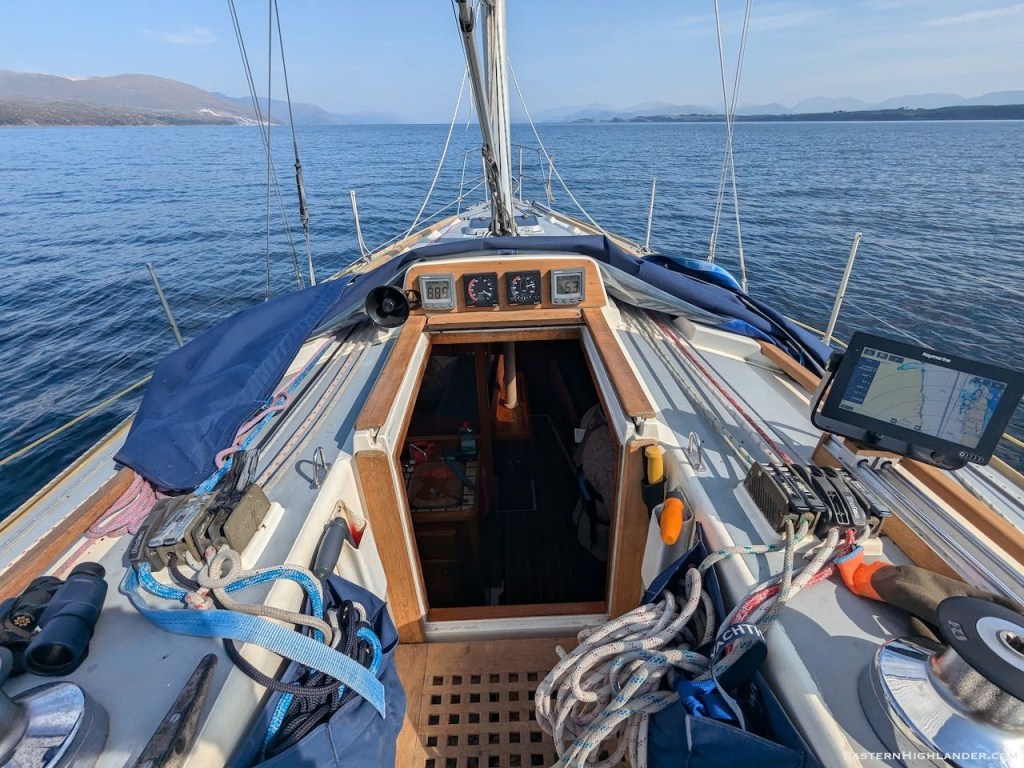
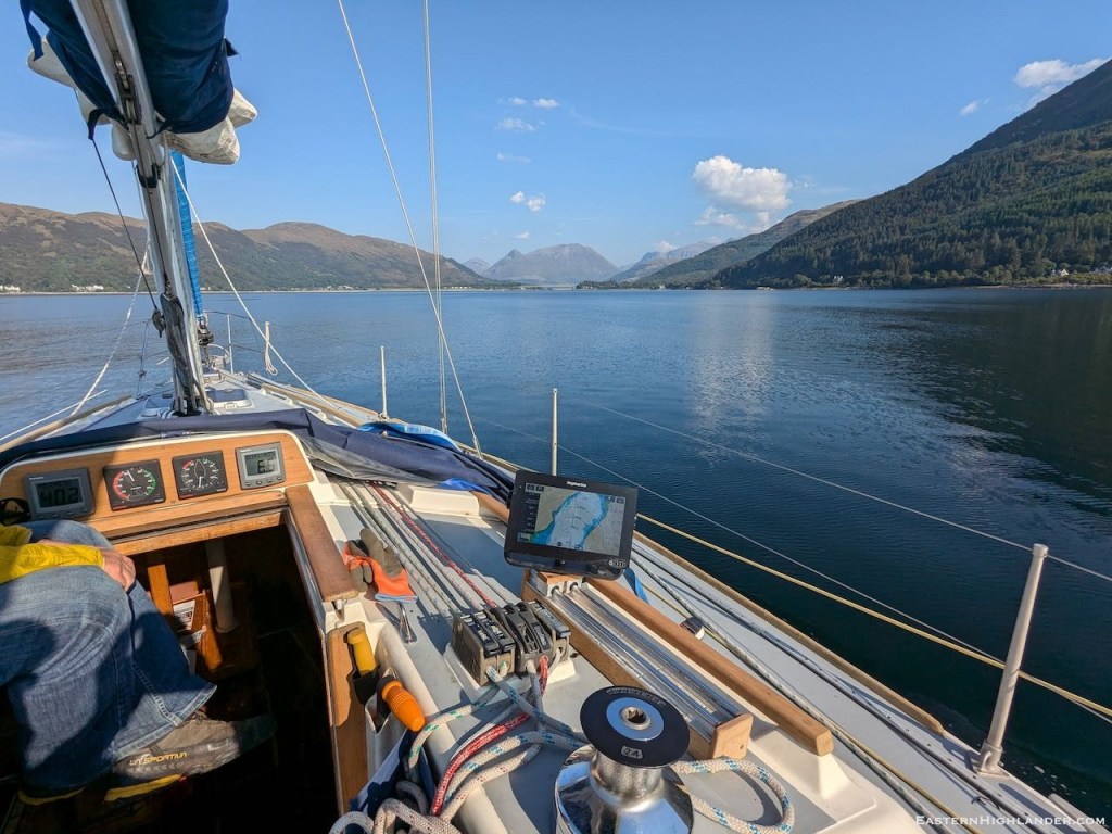
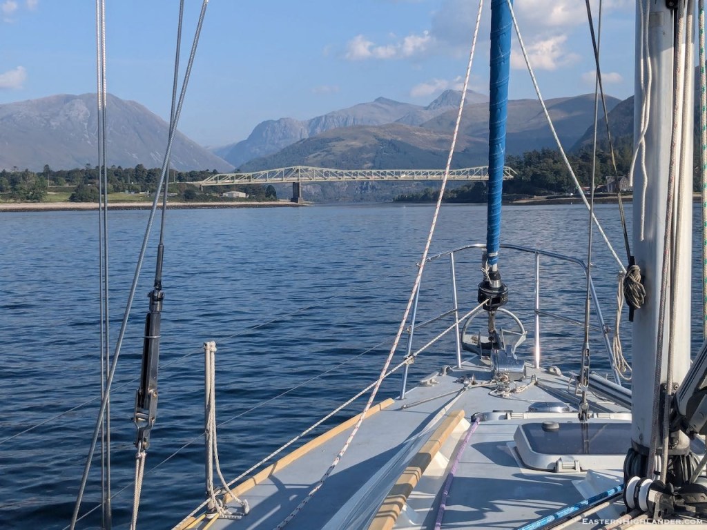
2nd October 2024, goodbye to the Highlands for now!
And it’s on our doorstep from Inverness. An easier drive than Glen Affric and just look at the scenery. The only fly-in-the-ointment being the 330 kV pylons through the middle of the glen!
2nd October 2024, goodbye to the Highlands for now!


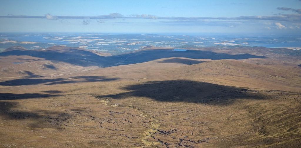
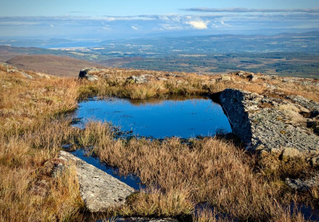
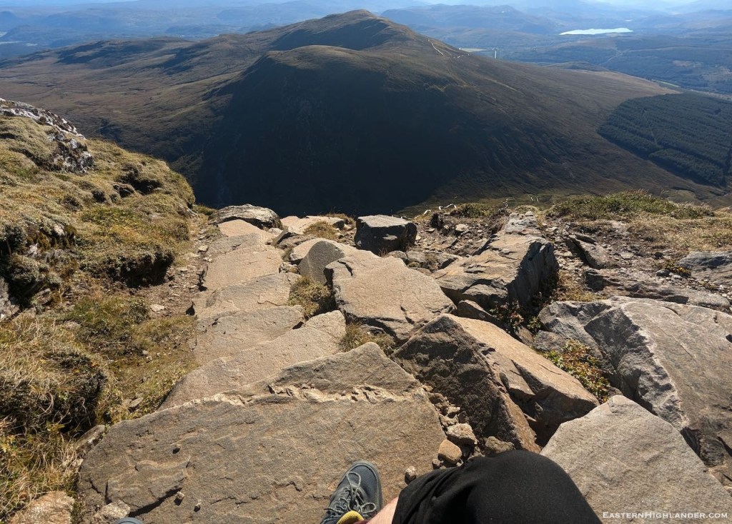
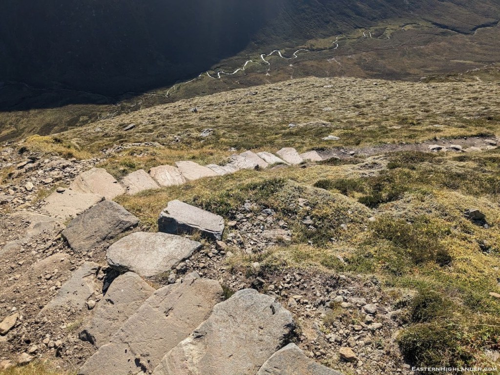
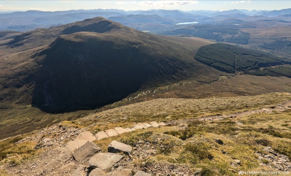
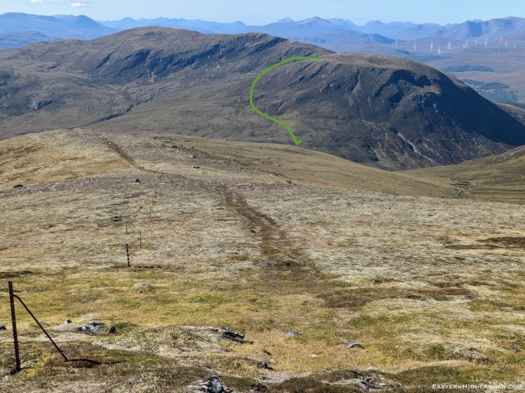
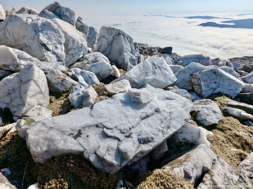
Well its all straightforward in good weather, coming up from spur 817m after Little Wyvis (see previous post), just keep on top of the stones not the moss. The views are pretty good though!


29km, 10hr with Little Wyvis and Tom na Caillich as a freebee.
A bit more off-piste in the heather to get up Little Wyvis by turning off the main path from the car park and crossing the stream where the forestry ends. Very boggy ascent in the heather to start with, and, much further up, the marked track is even worse as it seems to have been constructed to capture water not shed it. (The zigzag path may be better?)
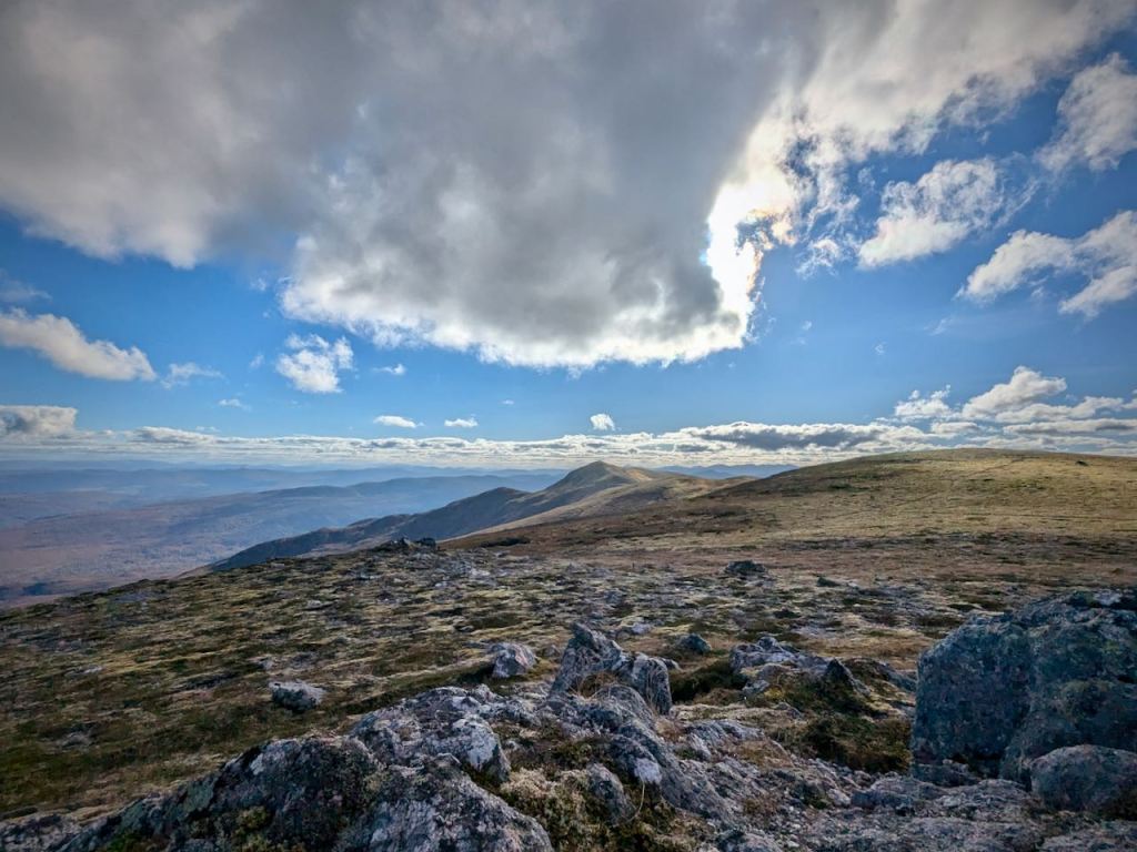
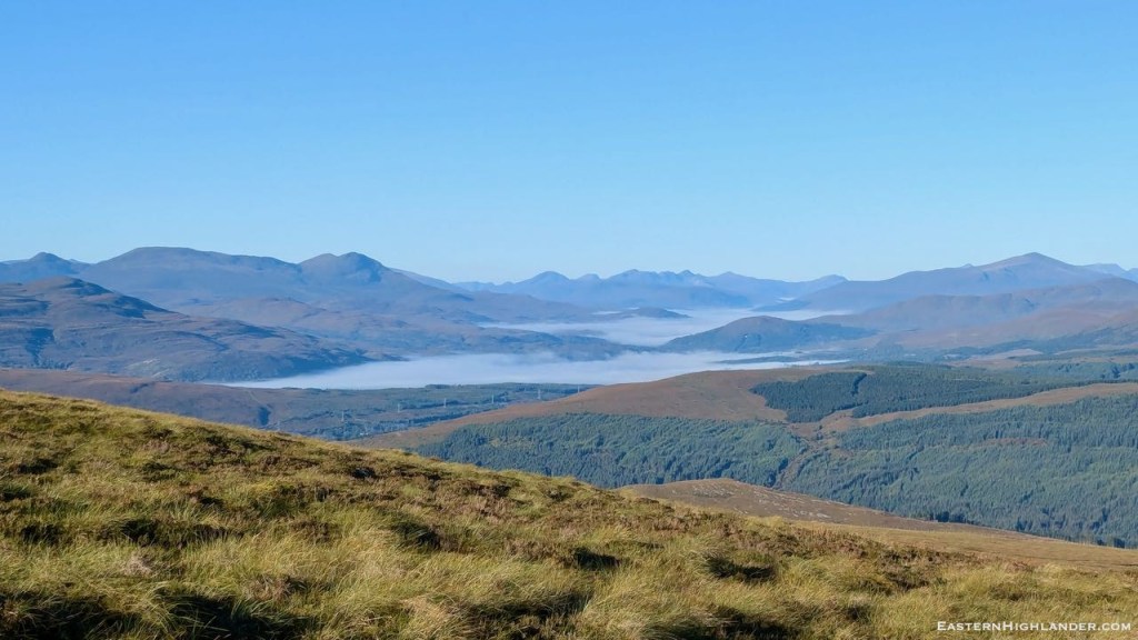
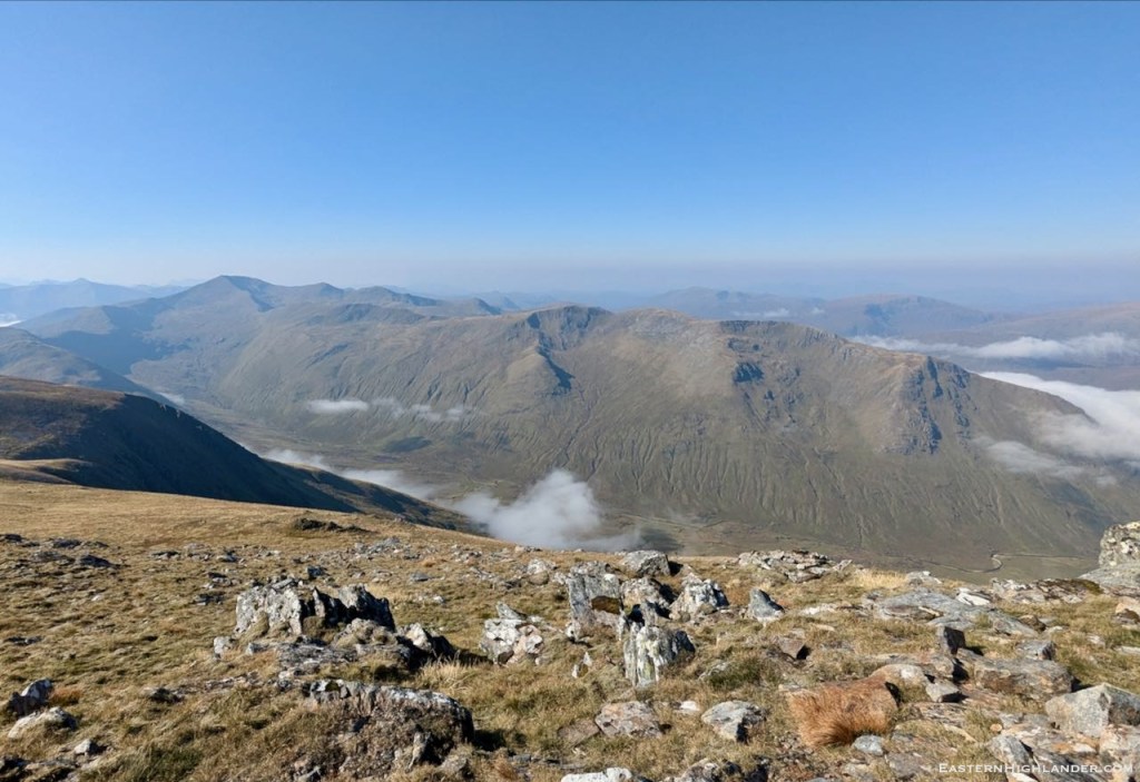
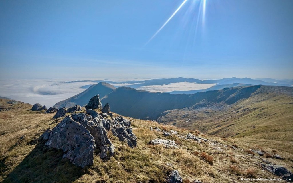
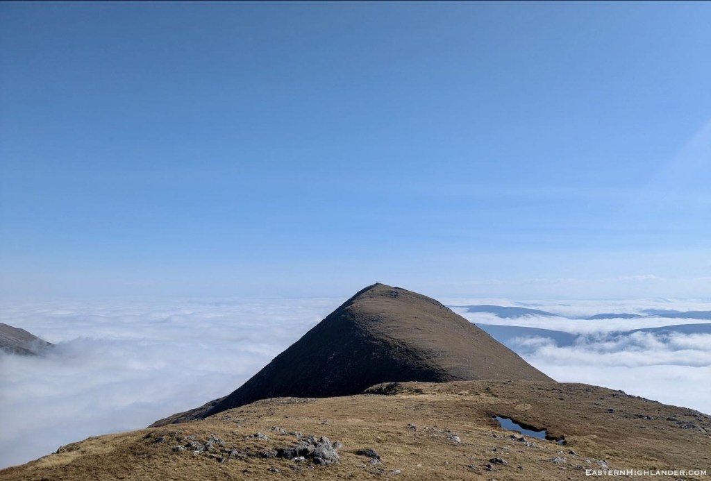
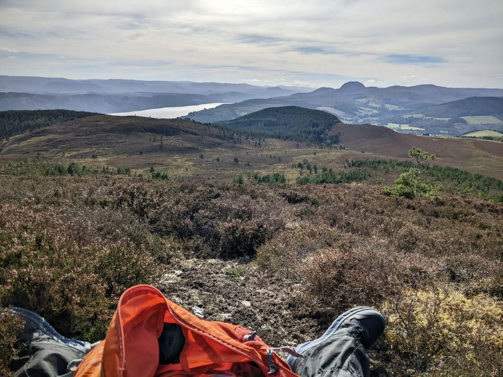
After the photoshoot have a luxurious rest in a heather-moss cushion contemplating the day ahead – wondering if you should even bother with The Ben after the views you’ve already seen. Put those thoughts away and swing round on the path to Tom na Caillich and continue west-ish down off the hill. Having spied the distant Argocat tracks up the 817m spur of The Ben you will know where you want to end up crossing the burn. There was no path down this side of Tom na Caillich and I imagine it could be very boggy after rain(s). Totally on your own in the heather and bogs with no useful paths or tracks. Cross the small stream, re-fill, find the track and start slogging up! Not that pleasant after a tiring few hours in the heather. There is enough of a way up to 817m with multiple Argocat tracks to follow. More sightseeing once you gain the ridge. And yes, another slog up to Glas Leathad Mor. You have probably been on your own now for hours, but that is not to last 😉


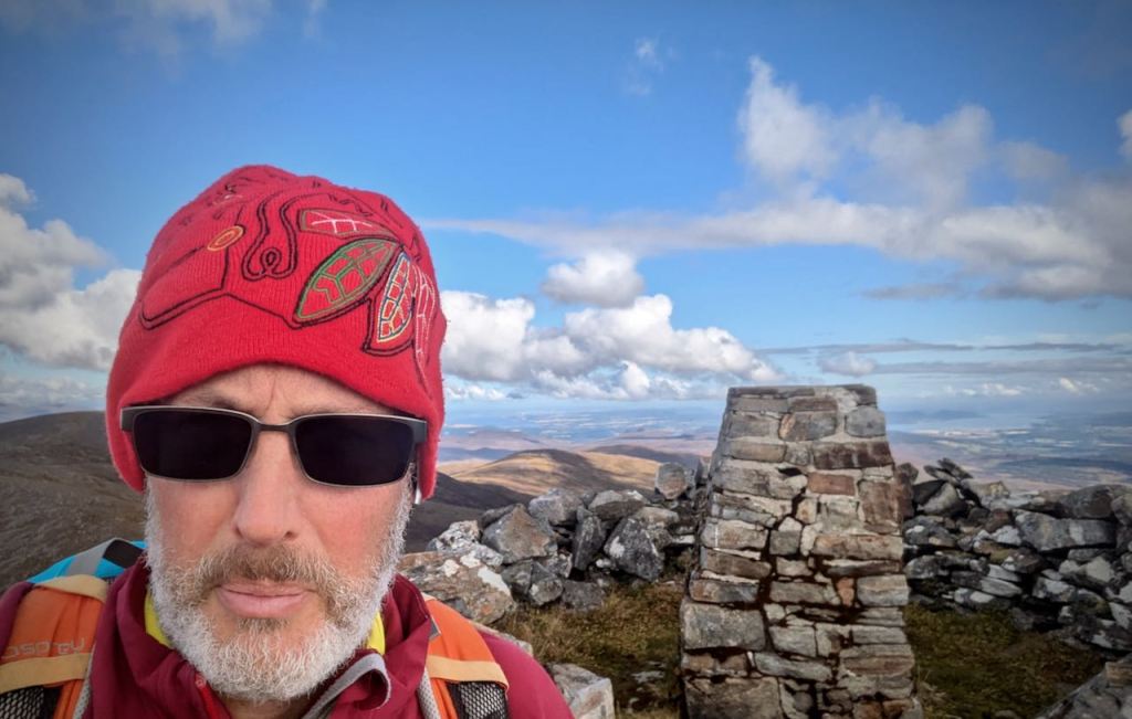
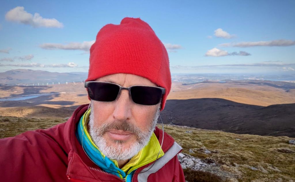
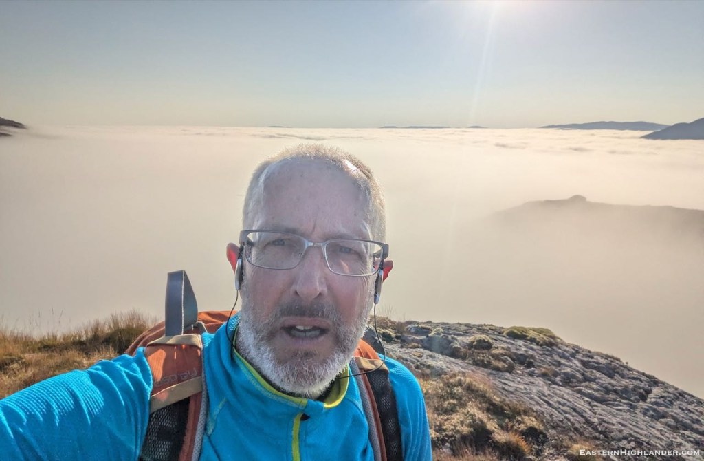
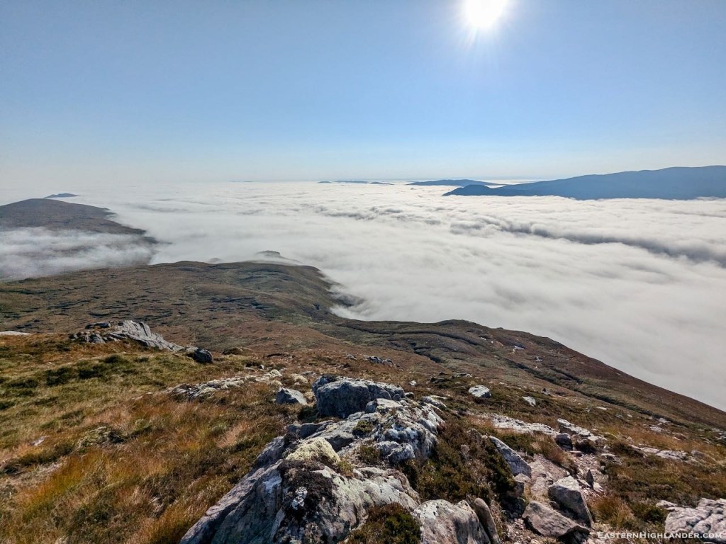
That one day a year …


Extending my walking range from the house. Mission objectives included walking the highest hills on the way and so three trig points, as well as minimal time on the NC500 / Great Glen Way. No known or prepared path – just aim for the tops! Plenty of time in the heather.
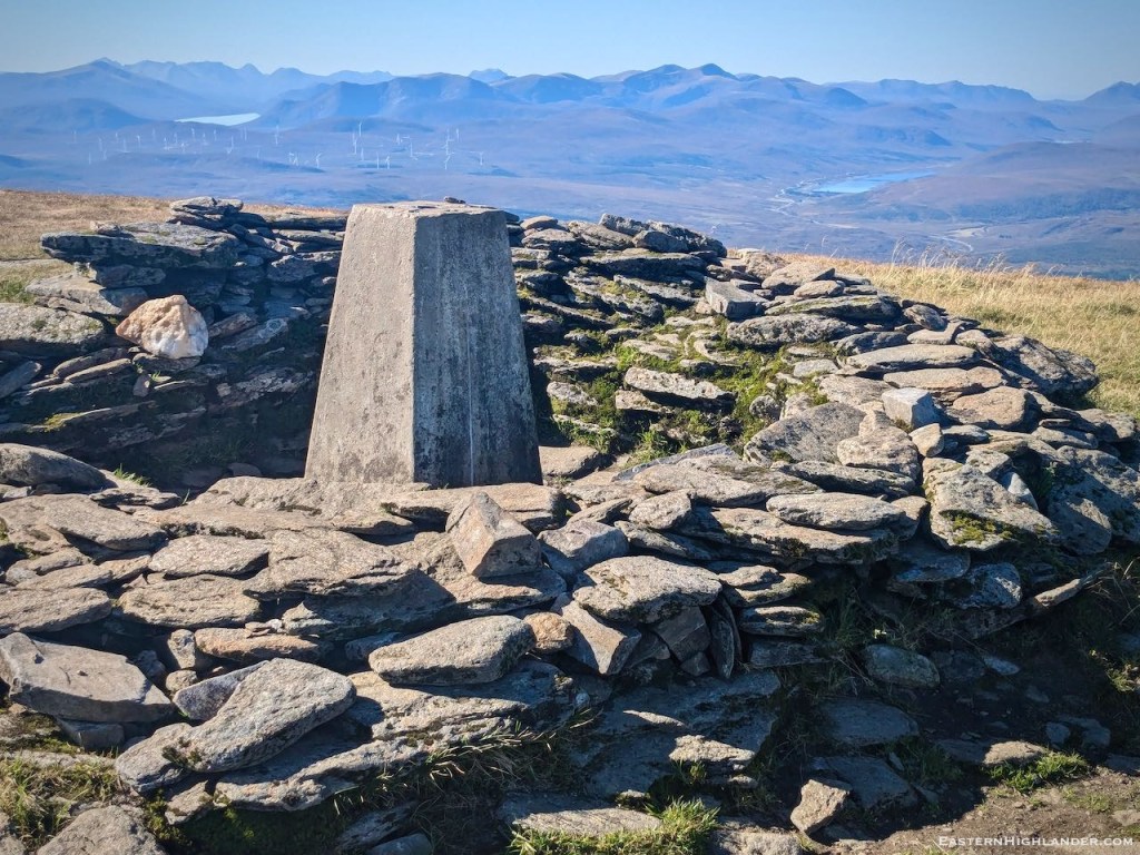
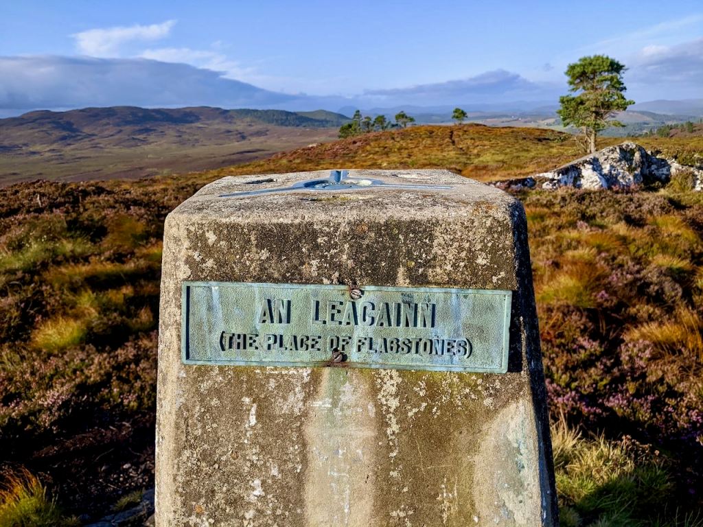
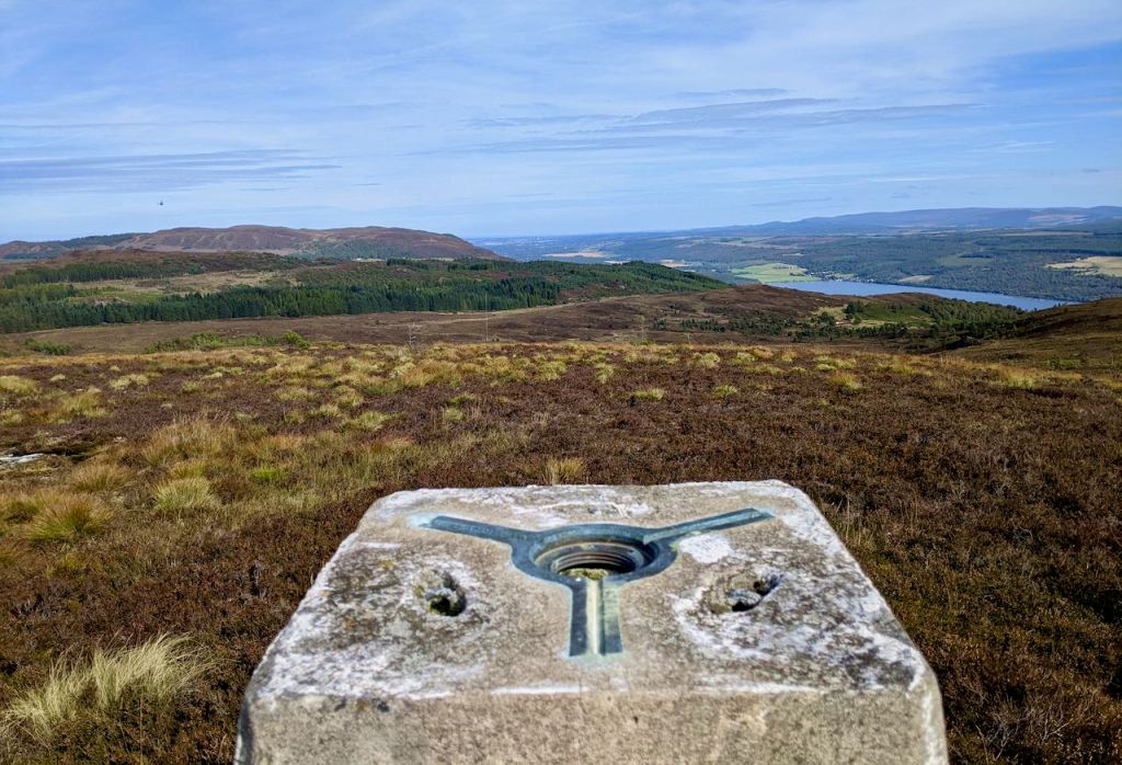
The first trig point (pics from a previous trip: Lentran to Dochgarroch and back).

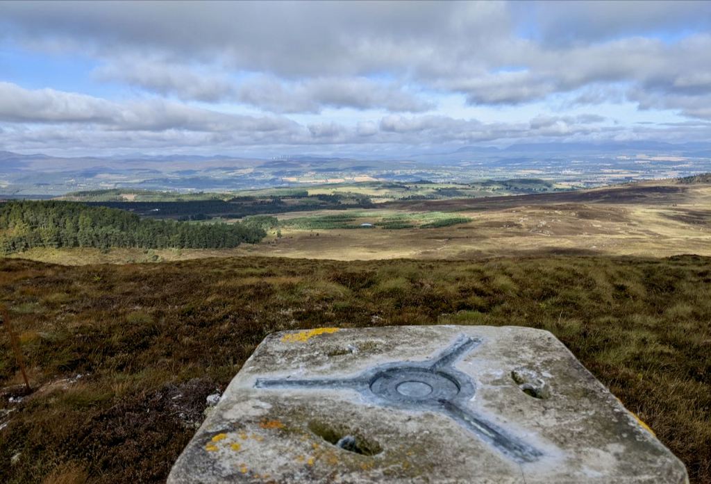
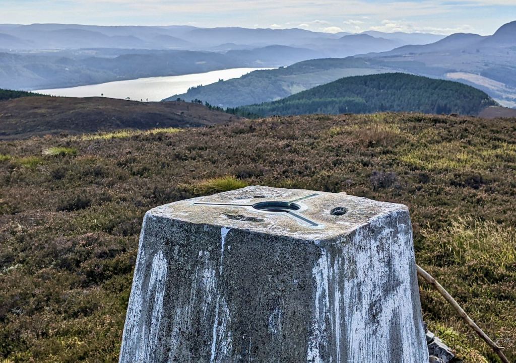
The second trig point

South from An Leacainn (mainly heather), over the Blackfold road and up to Doire Mhor (all heather). South west to the second trig point, Carn a Bhodaich (all heather).

I continued walking south west and hit the now felled wood so was able to take a track down to where it crossed the burn. I turned off the boring track and took a chance that there would be a path alongside the burn.

There just about was and so I came out at the tar at Abriachan. Couple of hundred metres westerly along the side of the B road before I found where the fence was down and headed across what might well be a bit of a marshy field towards the stream and birchwoods for a rest stop. Hellacious walk up out of there in 2m bracken swarming with the midge. No path.
Followed by hot and bothered tramp over heather to the top, Carn na Leitire. This part of the route is not to be repeated. Instead go left when you hit the tarred road and there looks to be a forestry track up a good part of the hill – total distance may well be further.


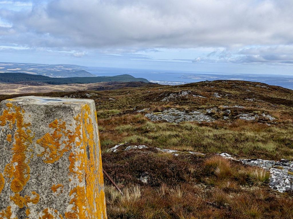
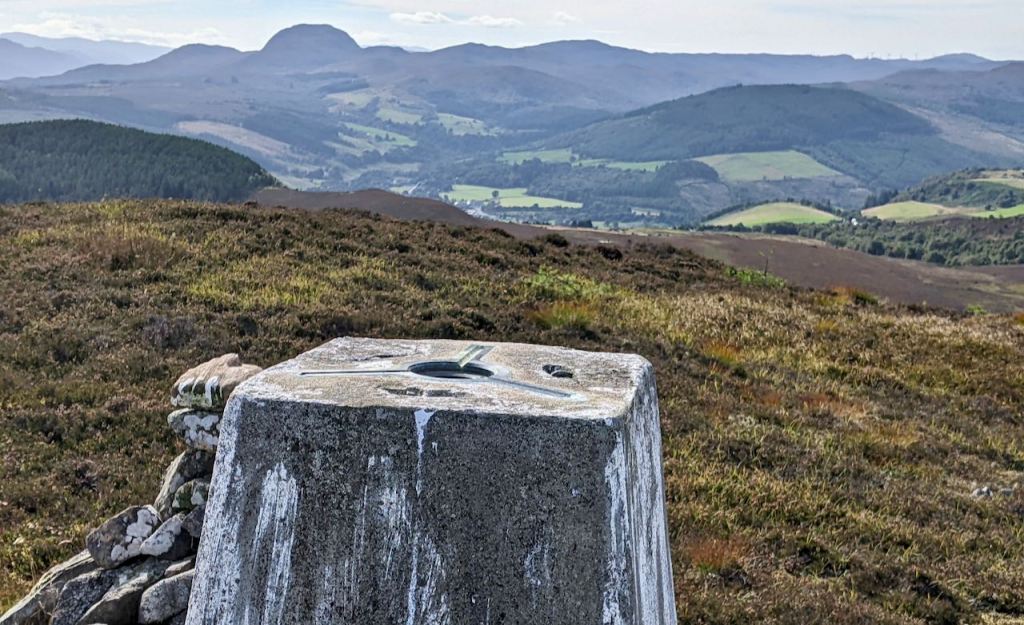
The third trig point
Carn na Leitire is on a spur off the Great Glen Way and so this was were I met various Macleods on a tour of the old country. I followed their track back down, branching left, to the forestry and turned left onto the main track before crossing through the woods at their narrowest point.

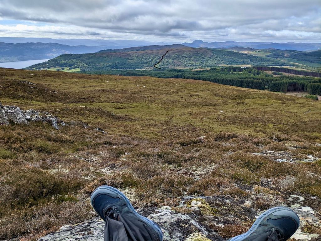
There followed a boggy tramp (heather) onwards towards the final trig point, Meall na h-Eilrig and a food stop.
By this time there was no way I was going to bother with Cnoc Fhearchair and so I spied a track above Loch Glanaith which took me to the tar at Drumbuie and on down to the main road.
A not very nice walk against the traffic into Drum, ice cream in the park and the bus to Inverness, 4 minutes changeover and bus 28 home.

About 28km, 8 hours.

