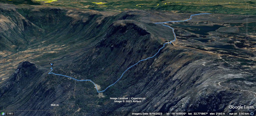
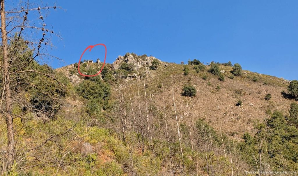
Luckily I was short on water and tramped on another 2 km or so, all the way to the official World’s View site (2275m) to fill up my 3 + 2 litres of water capacity. The Mudhara in charge told me about his own route down and assured me it was less steep than my intended route (which I climbed up the next day as ‘Route 2’).

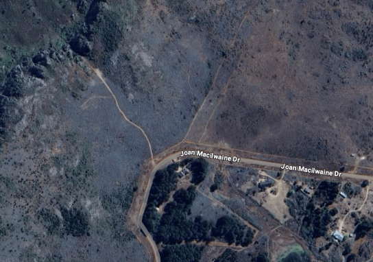
His route was not yet visible on Google Maps – which only has data from 2023 (now looking, and knowing it is there, you can see signs of it though!). I had been intending to descend using the path showing on Google starting from from the northern corner of Joan Macilwaine Drive:

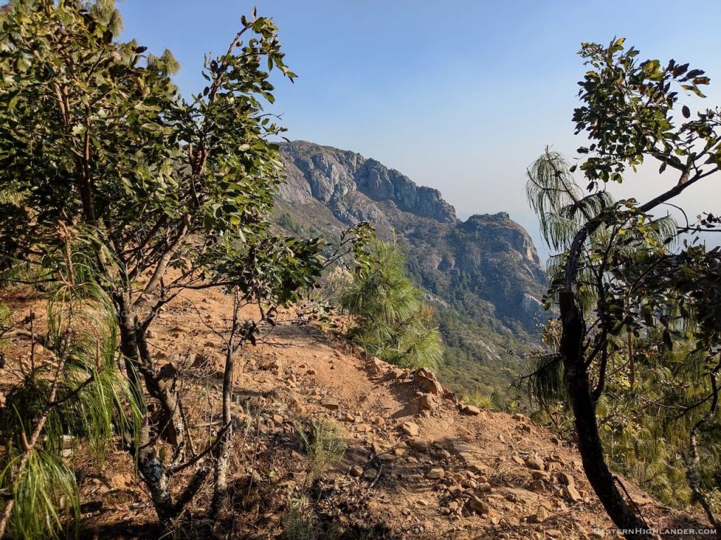
Shortening my trekking poles I started off down the narrow zigzag path, hoping I was doing the right thing.
The path was at least consistently used and I could keep using one pole and one hand to stay upright. Panganai passed me also going down on his way back to Mangondoza and assured me all was fine.
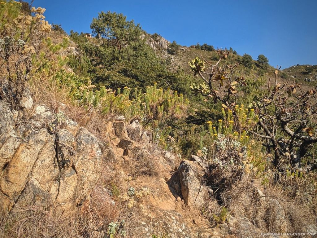
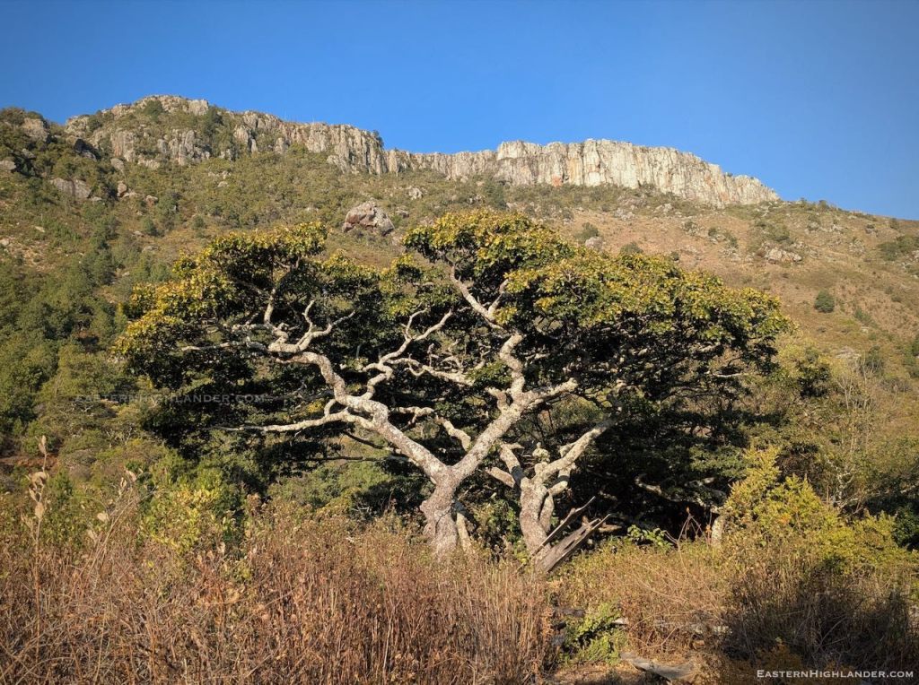
There is the odd patch of exposure but nothing extreme and the path slowly winds its way down to the open pasture areas at 1980 metres.


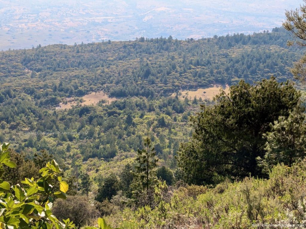
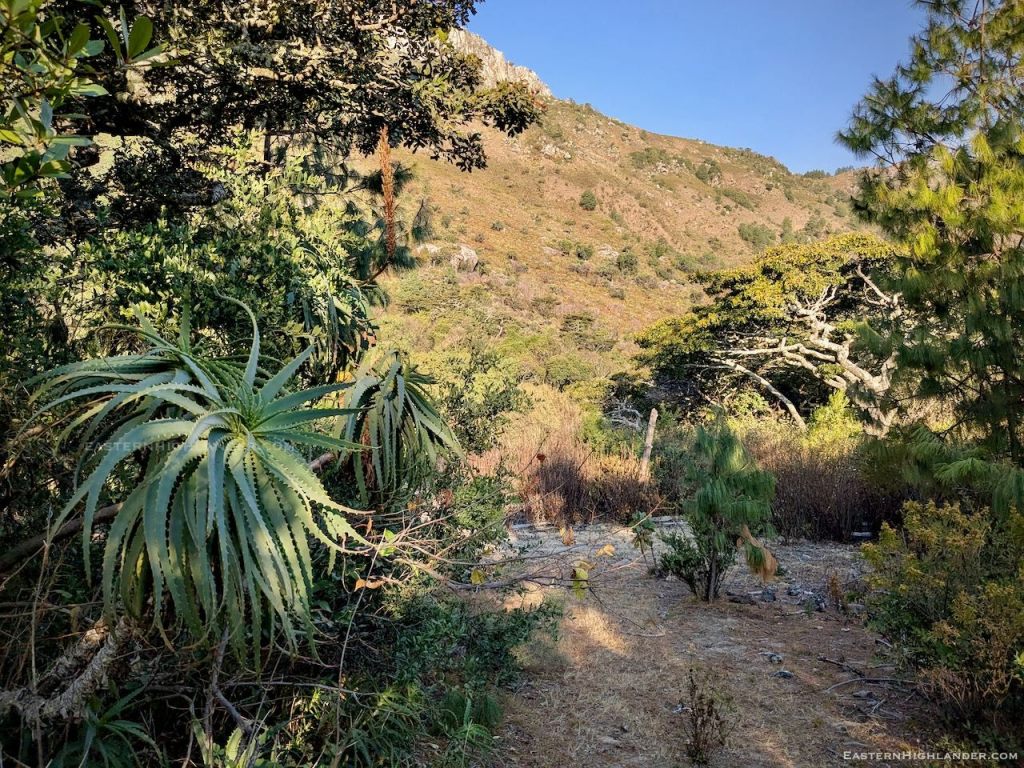
The way to Sedze Primary continues on down but I was more interested in exploring at this level to see how far I could traverse northwards round towards the other route.
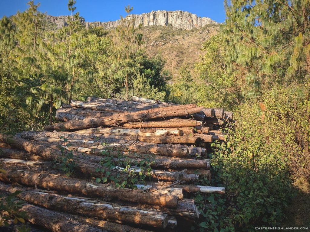
At the north end of the pasture there were areas of dried up bog and a stream still running for fresh water. Plenty of logging paths and sawing patches at that end and I decided to follow my nose, leaving behind a perfectly good potential campsite on flat grass, and with running water!

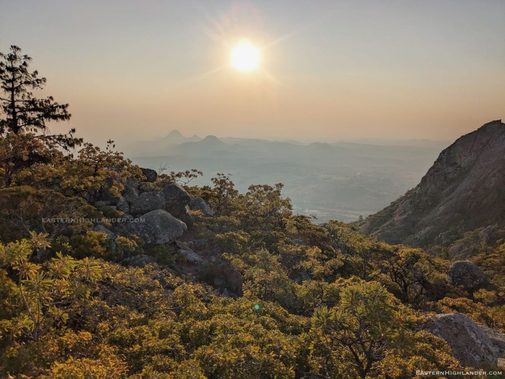
I made a reasonable path following someone’s croc pattern made in the last day or so, but evening was drawing in and I eventually found the last open flat spot in the hard dust prior to any major descending.
Now the thin wire pegs were useful – usually, higher up, they are lost in the softer ground and long grass and I take more of the old school large plastic jobs.


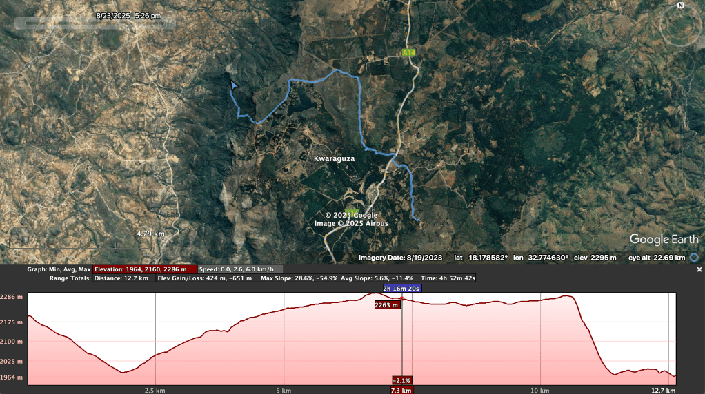
And from Google Earth: