This one has been on the mini-bucket list for a while now.

(Diversion / background: Two years ago I found my own way up to the main top by driving ‘round the back’ as far as possible, leaving the car with the korakoza, semi-bushwhacking up until the reaching the main height then ‘turning left’ to head up to the peak over the rock. Beware – on the way back down you will start to follow the miners paths and come across an open vertical mine shafts in the path! I saw one, there may be more. As there were ‘leftovers’ from pine logging in the central east – west valley I assumed the men hadn’t taken this circuitous route and that there was a faster way – presumably from Nyamhuka 2.)

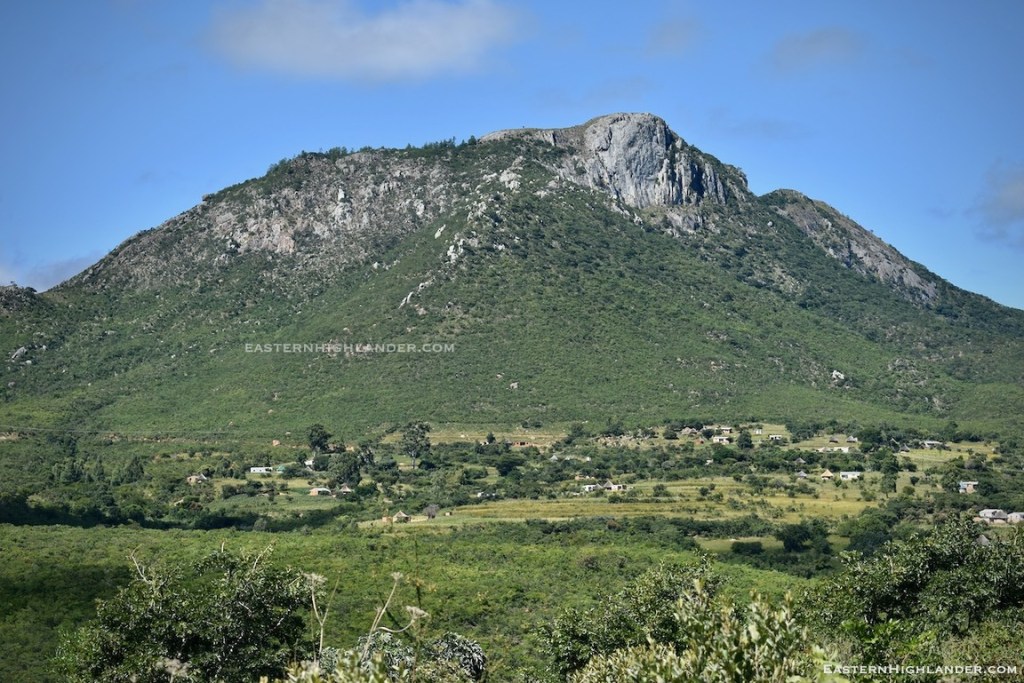
Start towards the top left (west) side of Nyamhuka 2 by taking ‘the path by the tree’ and head in the general direction of the hill following the path through the fly-tipping. Further up there is a giant, deep, erosion gully to cross, which I didn’t on the way up and went round the top, but did on the way down and this made life easier. The path is on the north (right) side of the vertical valley. It gets pretty steep as can be foreseen when looked at from just about anywhere in Nyanga. There are only a couple of sections where hands are required and these can be by-passed, more or less, on the way back down so don’t worry too much. Just push on excitedly upwards.

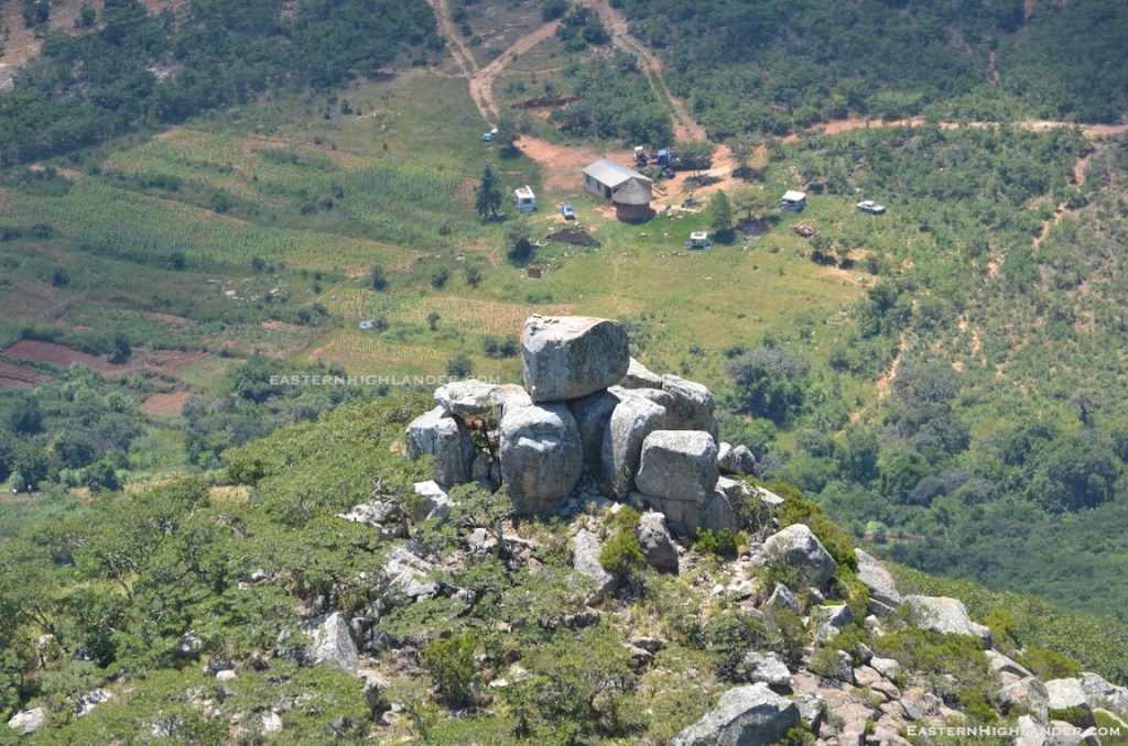
Before you know it, after several water (rest) breaks, and some close encounters with the steep sided valley to your left, things will start to ease up and you will reach the remaining pine trees. Somewhere in there you have to use your spider-senses and start choosing paths to the right (±north west) towards where you think the B peak will be. There are various ‘path looking paths’ so just select the ones heading up in your intended direction. Some were made by the pine loggers and some are probably reinforced by people doing what you are about to do and get to the peak. There is no one path. Skirt round and under remaining pines and eventually reach a flattish spot under the pine trees with a slightly ominous mound of rock and rocks piled above you. Take a breather and food/water break here. I put on my wind breaker based on the anticipated wind on top.
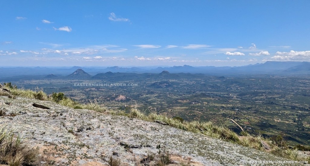
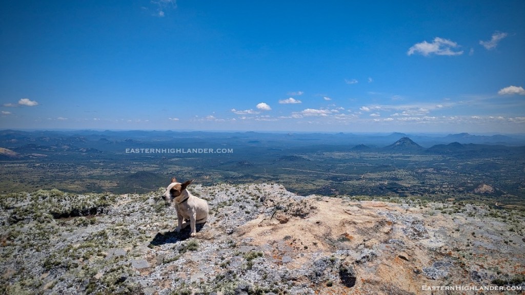
Next is a scramble up, there may / may not be a discernible path in the tufts of grass – likely depending on when someone else was last up this way. Just keep going up and it doesn’t last long before reaching rounded rock slabs and the going is easier. You are now more or less on top and it’s pretty flat with the best, stellar, views in Nyanga.
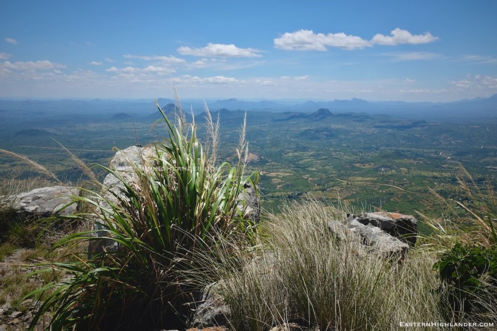
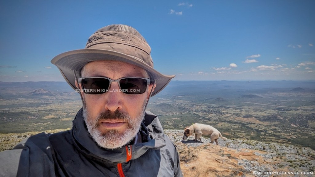
Take pictures here then head slightly further up and over to the highest point. The wind was something else and as you will have ‘perspired’ quite well on the way up you may need a windbreaker to keep the chill off. Get as close as you dare, but not as close as Monet, to the edge for some adrenalin boosted pictures and selfies! Goodness knows how far you are seeing but it’s a long way! The main Nyamakanga peak (and here, and here) and metal beacon is apparent to your south, on the other side of the valley, but nothing beats this one for excitement and views!