9 to 11 February 2024
For my intended through-hike to Aberfoyle there have always been two looming obstacles:
a) how to get up out of the Gairezi river valley and up to the plateau, in the direction I wish to travel (ie without taking a circuitous route via Nyafaru or the National Park road);
and
b) how to descend about 800m from the plateau to Honde. The first was solved during this three day hike, and the second is now better informed after meeting a Mr Kasu at the pass – as he had walked up from the Honde side for a funeral - and he basically confirmed the route shown on the 1972 maps.
Back to the here and now:
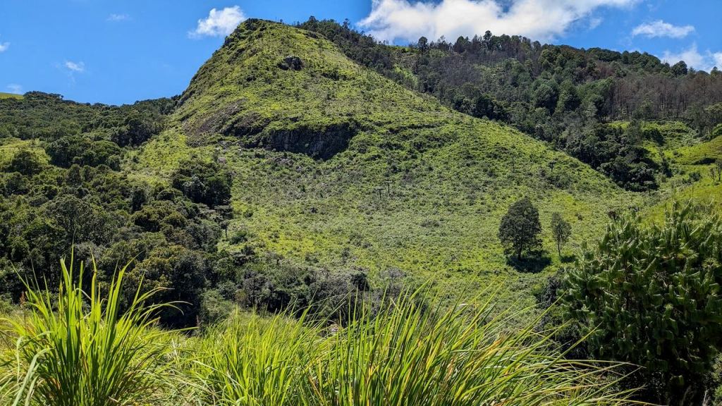
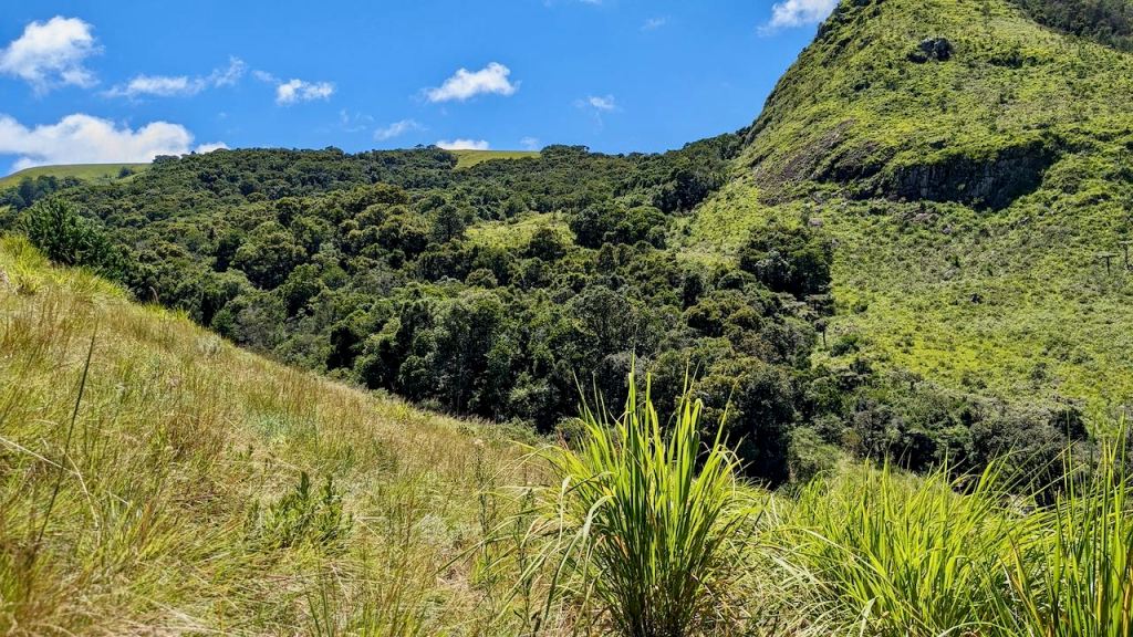
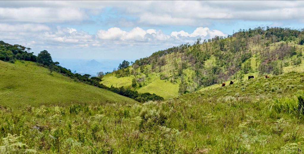
I wanted to avoid a river crossing during the rainy season and try walking in via Dazi and the bridge. Anyway, what you have to realise is that the valleys were not formed via glaciation – and this makes all the difference! A glacier-formed valley is more smooth sided and has a ‘more predictable’ valley floor. Our valleys are specially made to include interlocking spurs in a completely different erosion pattern. Being in the bottom of a valley means nothing as there may be a narrow cut channel for the river as it winds itself between ‘giant’ spurs which have to be climbed even though you are in the bottom of the valley. This is absolutely true of the large Gairezi valley in this area and the small Menzi valley, though not the smaller Chirwe. I’ll have to show you what I mean. Below, one of my typically picturesque views of the Gairezi valley – however the flat valley bottom is lacking.
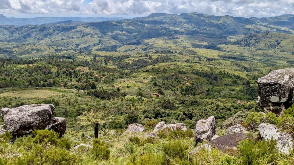
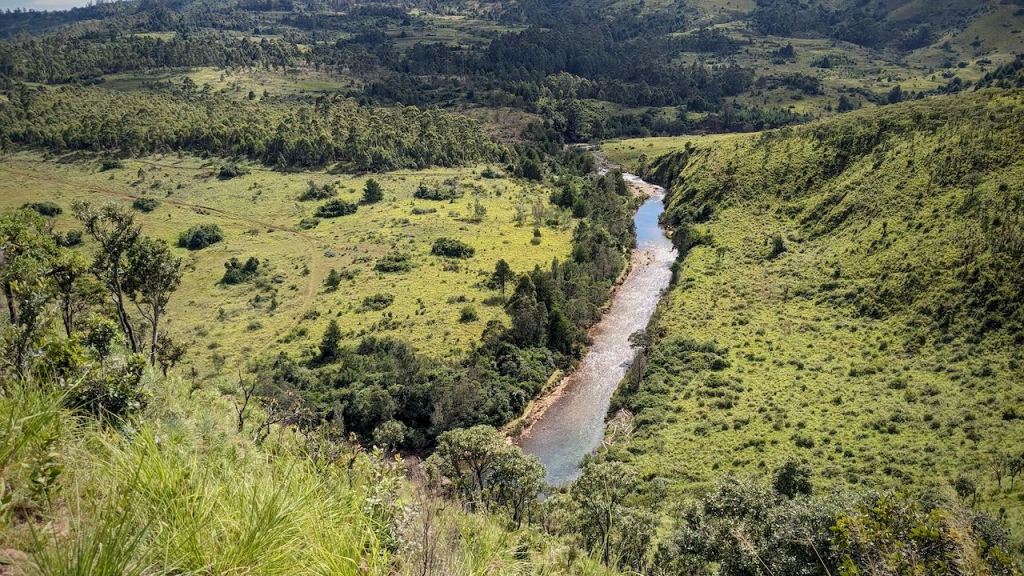
Examples of the Gairezi river and valley bottom:


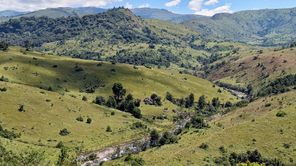
These spurs and mounds make the landscape look ‘simply wonderful’ – just a lot more challenging for route planning and walking ‘through’ a valley.
For the above mentioned reason the walking in ‘to’ and waking away ‘from’ Dazi bridge was a major heartache of effort, frustration, and heat, and I was relieved to make my first campsite, at least in a higher area than I had been in before.
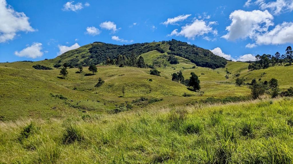
Next morning saw more plodding over spurs until the first sighting of what I hoped would be my pass!
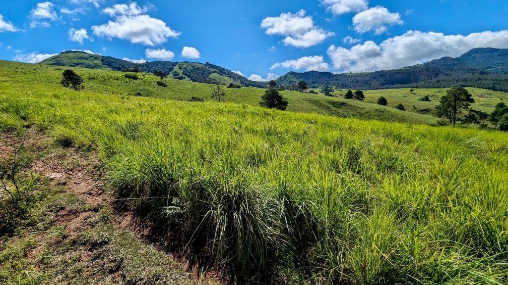
More spurs and mini-valleys later

And even a ‘flood plain’ / old meander site higher up:

Hiking up much closer to the pass I detoured (climbed up a spur!) to a small homestead and hopefully some route advice.
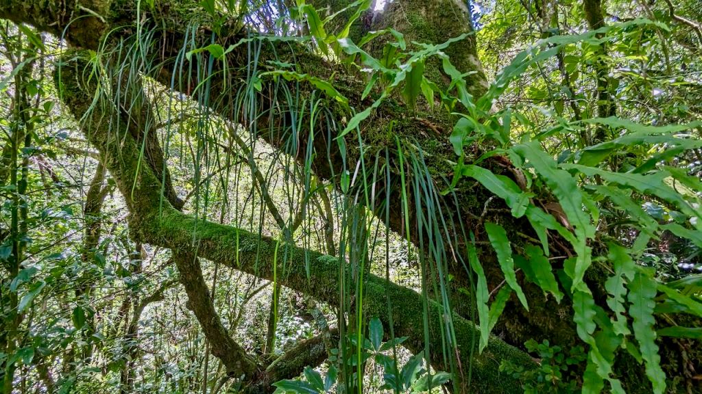
His good advice sent me steeply back down to cross a stream and catch the path up through the rainforest.


Videos of trees and monkey alarm calls on FB. Taken during a very needed, cool, shaded, refreshment break – second day exhaustion!
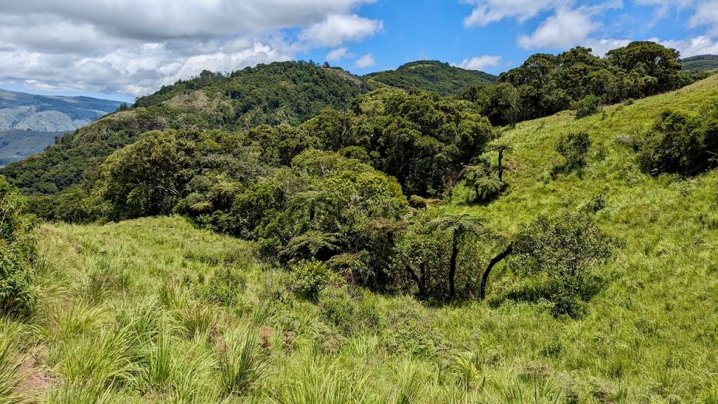
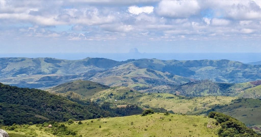
My first real view down the ‘other side’, and yes it’s barely a plateau as it is full of spurs and mounds. Anyhoo, it’s a much higher region than the land to the south, in the distance
These pics taken at about 1800m
And the views are stunning!


And let’s not miss this guy in the distance in Mozambique!
Looking back, south west, to Mount Nyangani in the clouds:

Now having almost retraced back into the Gairezi valley


Good Morning!
Next the view back to our pass:

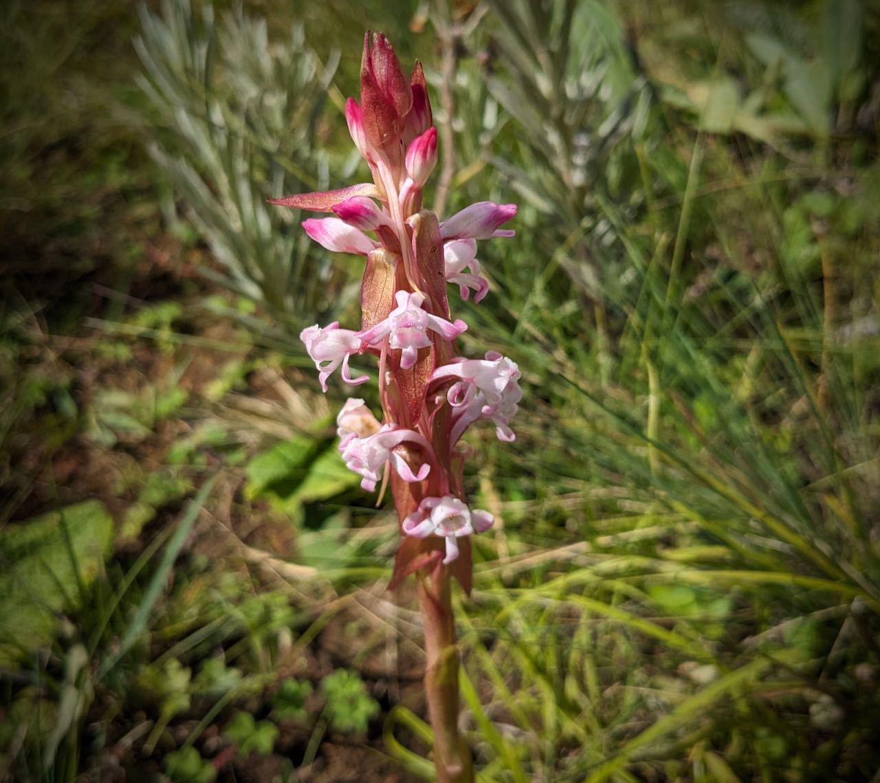
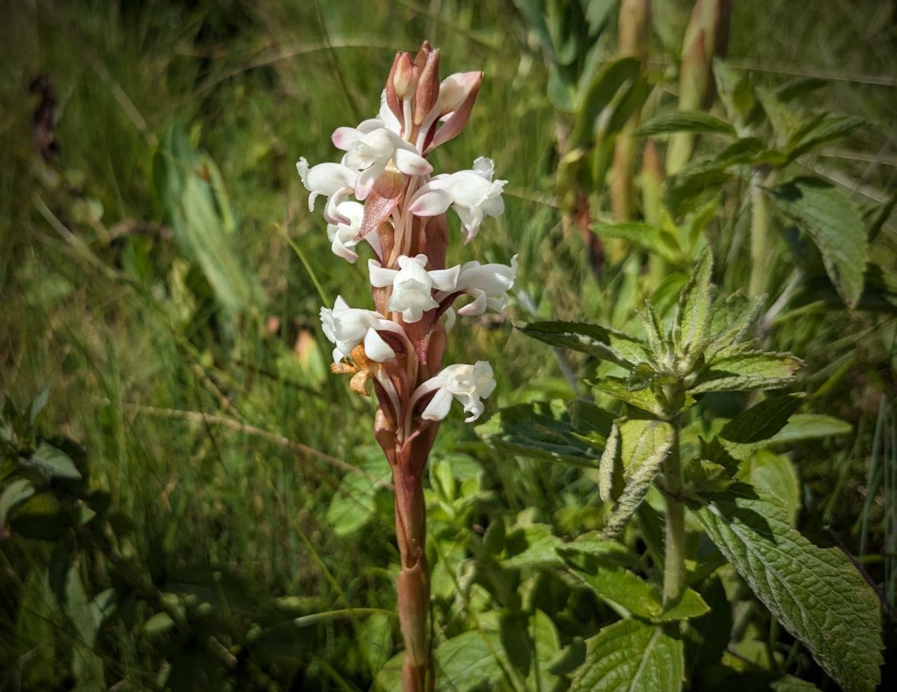
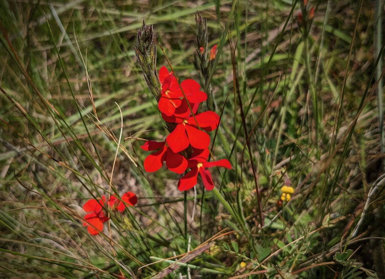
Finally a bit of the wildlife: the two orchids – satyrium longicauda; red job – ?; guttural toad; juvenile homo sapiens.


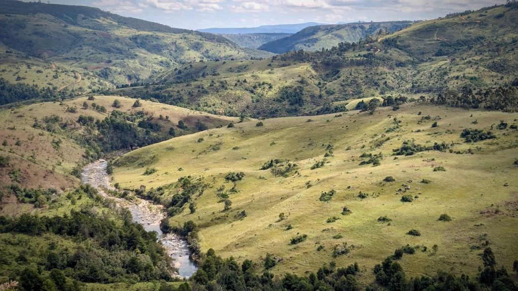
Lesson learnt. Going back to my ‘rambling’ at the start about spurs and river valleys: the best route in would have been the one I took on my way out – i.e. to walk along and down the Menzi ridge which is a shorter distance with a single ridge route to reach the Gairezi river — which then needs to be crossed – something to contend with in the rainy season!

Pingback: Trekking from Troutbeck to Honde Valley | Eastern Highlander