26 to 28 January 2024
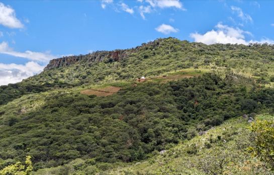
I had spied this plateau and escarpment in the distance on previous trips in the Chirwe / Dazi / Gairezi area but the distance was always against a day trip. After quite a bit of Google-mapping on line – was there a route down from the far end of the plateau or wasn’t there? – it was time to camp and explore.

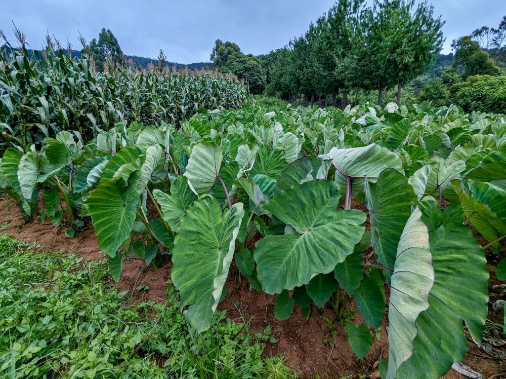
Setting off on the Friday afternoon, and via the back route from ours to Dazi shops, I made it to a small top in just enough time to get the tent up in the fading light. The only real pic from the walk-in was of some impressive madumbe plants (this is always translated to English as Yams, but now I check it looks like they could be Taro?)
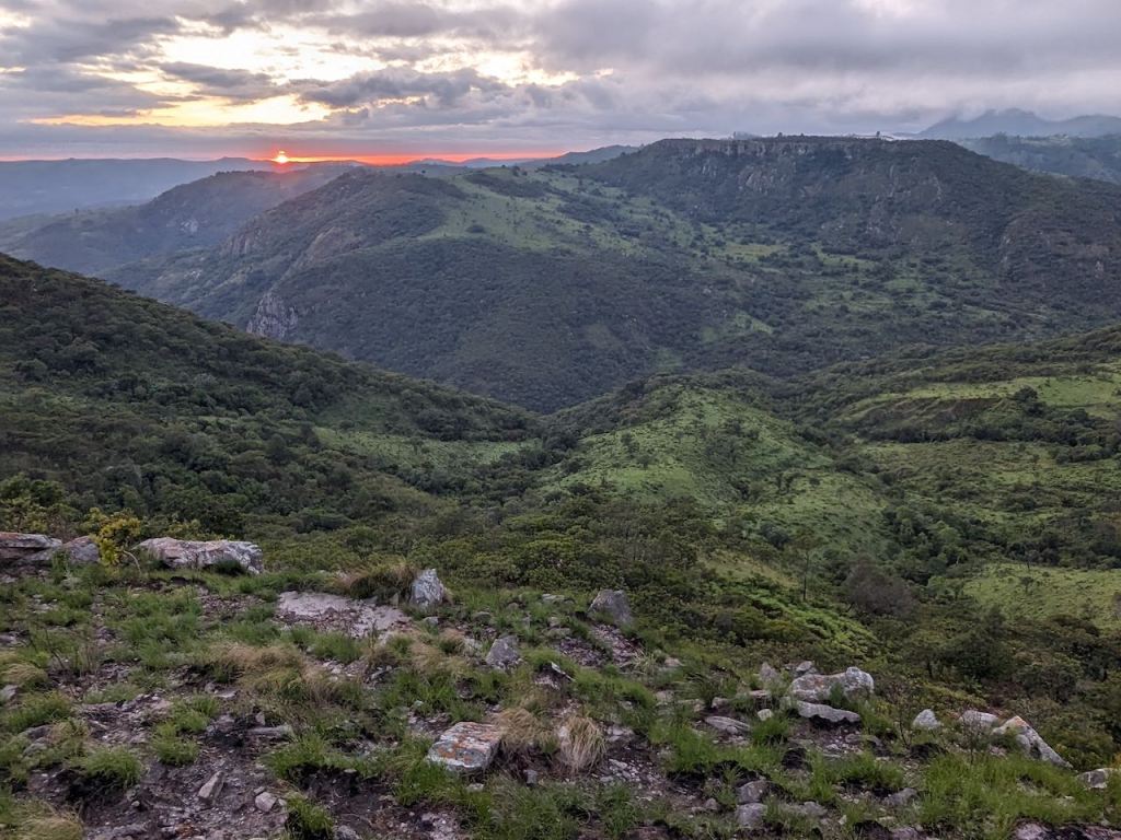
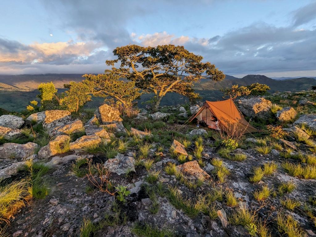
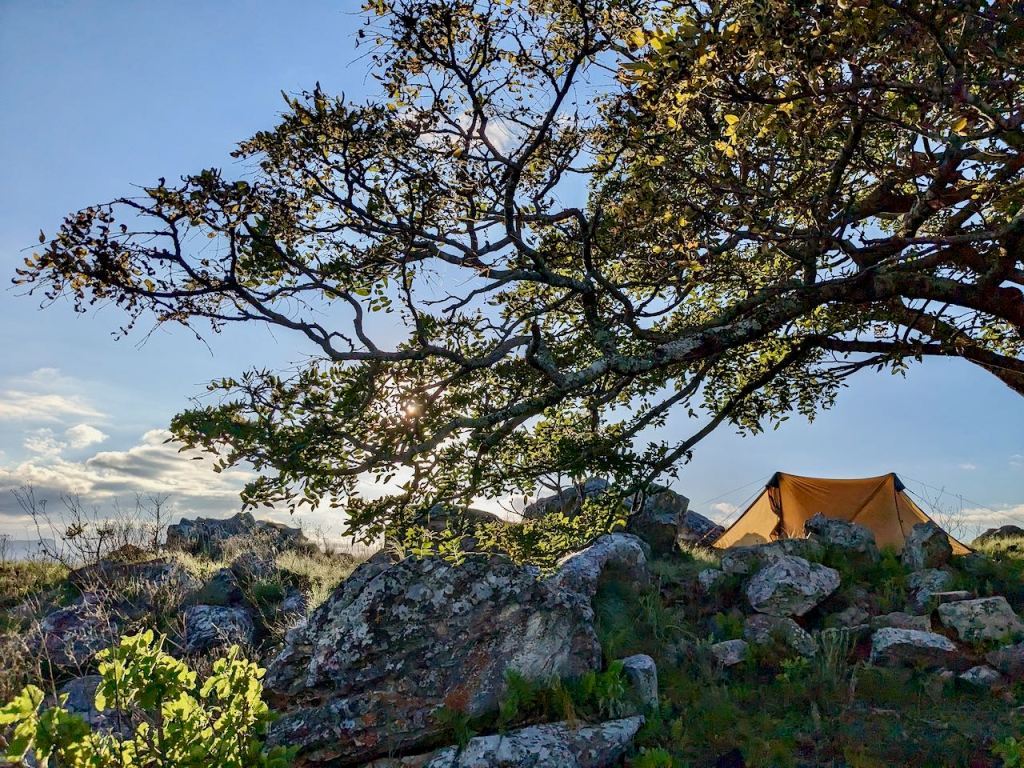
The next morning was suitably glorious as the sun came up! Lots of impressive tent pictures and angles – it’s new – what can I say!

I walked back down from the top and obtained water from the gents at the nearest house before taking the southern track in the direction of the plateau. On Google the path goes to some small-holdings on the northern side, but hidden in there was hopefully / possibly a path up onto the plateau.

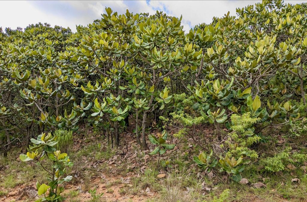
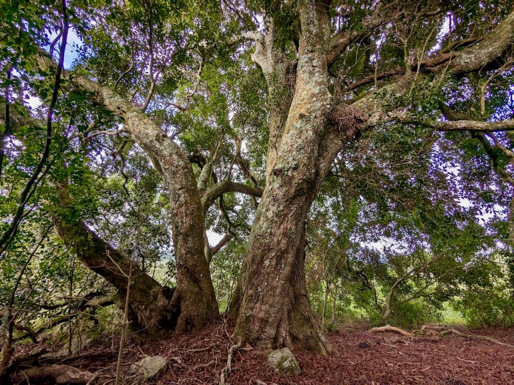
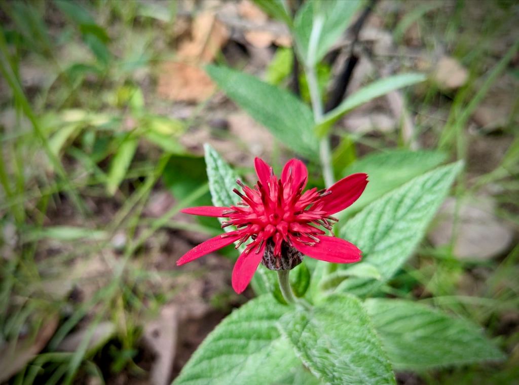
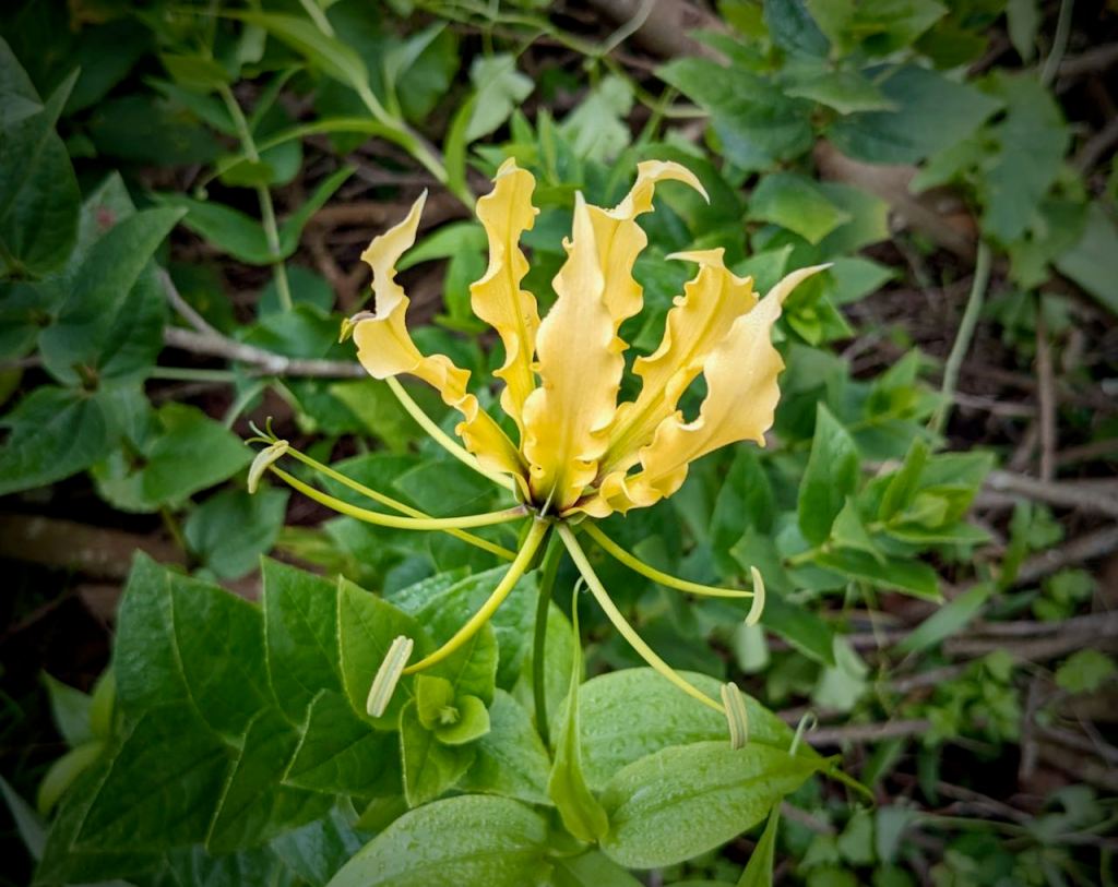
There were some interesting new woodland types – perhaps it was slightly warmer here:

Getting down onto your knees with the rucksack on – and getting back up – is it really worth it!
Nature bit done – time to get serious again.
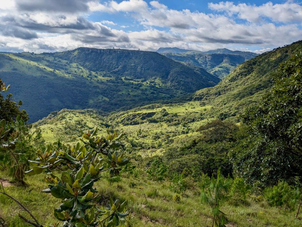
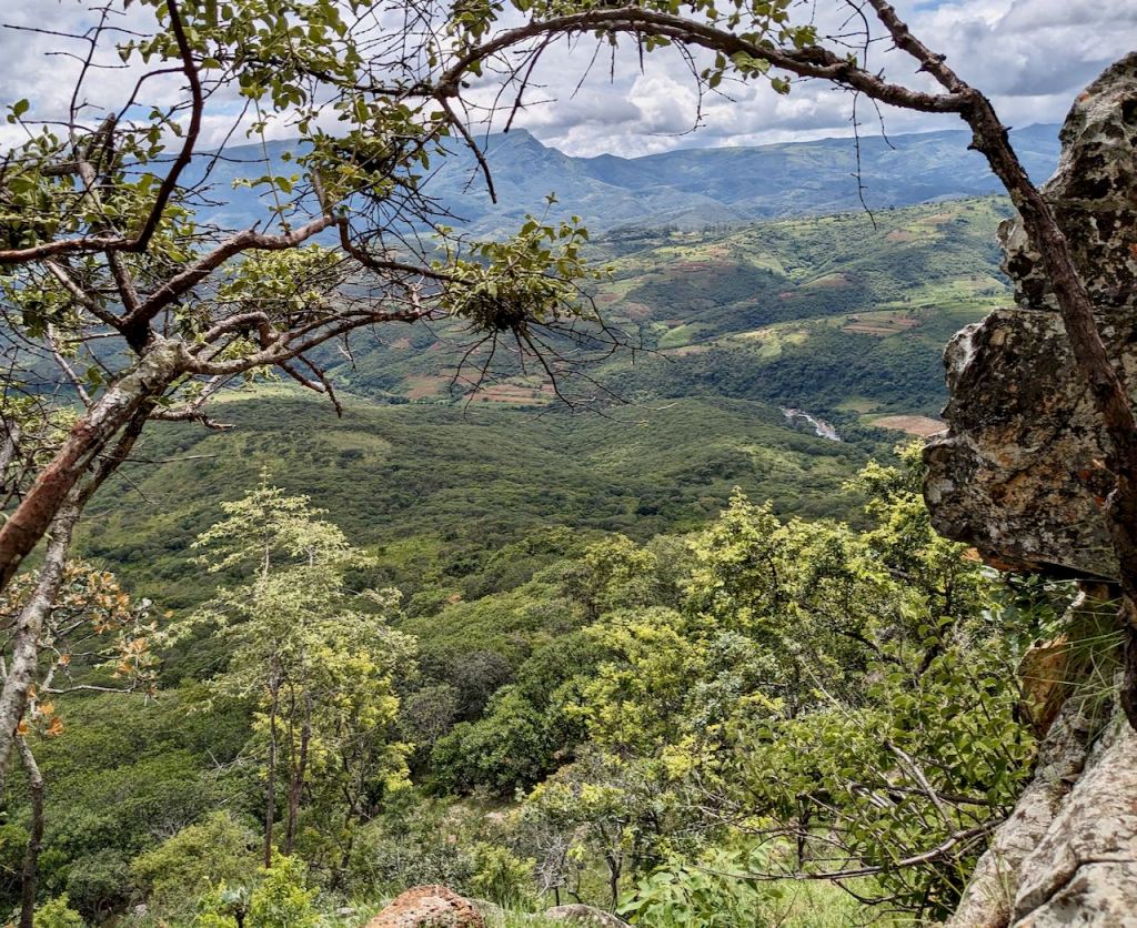
Basically various cattle paths wound their way through the rocks and bush onto what felt like the plateau. Although the early part was covered with wattle, it became more natural, sparse woodland which it was possible to thread between. A early detour to the ‘edge’ provided a taste of the escarpment:


You can see my short walk to this point on the edge – centre left below:

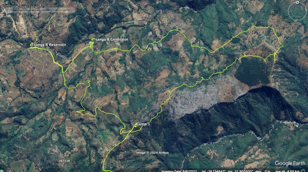
Checking my position on Caltopo and Google Maps I wound my way to the far corner in the hope of seeing a way down and avoiding the awful ‘go-back-the way-you-came scenario’ that I experienced the week previous on the Menzi ridge when I couldn’t cross a river.
So I’m sitting there, the middle of nowhere, not on a frequented path, above a steep looking possible descent wondering what to do when what or who appears but a very dusty looking acquaintance I had last seen a couple of years earlier on another ‘it looks possible on Google’ outing to find my way up Nyamakanga Peak. His covering of dust was alarming to say the least, but his much younger colleague was fairly pristine. Well, if they could both make it up there was some hope yet – indeed, they were more sure I could make it down than I was.
It was him who advised my next detour – see map above (going ‘down’ the page toward the edge on the right of the plateau) – to witness more views over Gairezi before the real descent:

This is the top of the descent:

and this was taken part way down once I was happier / taking a breath:
The trek westward, contouring round the plateau, was straightforward, passing the odd small farm seemingly perched in the middle of the bush with no track in. There was a tremendous view back up the escarpment, probably close to where I took my initial pics from the edge:

Northern side of the Boyakura escarpment.
Now it felt rather hot in the afternoon sun and I couldn’t stop myself making progress after a short rest in the shade, followed by a water refill. Stalwartly plodding on is becoming a problem for my feet and energy levels but at this young age I’m still learning!
Fortuitously – not by trip planning – the next feature was the Tsanga B hydro power station. As I stood by the gates wondering what the plan was going to be I was automatically welcomed in for the tour of this new (2018) 2.5MW turbine and generator – though no photos permitted.
This shot was taken while resting during my horrible, hot, hike up to the reservoir 100m up.

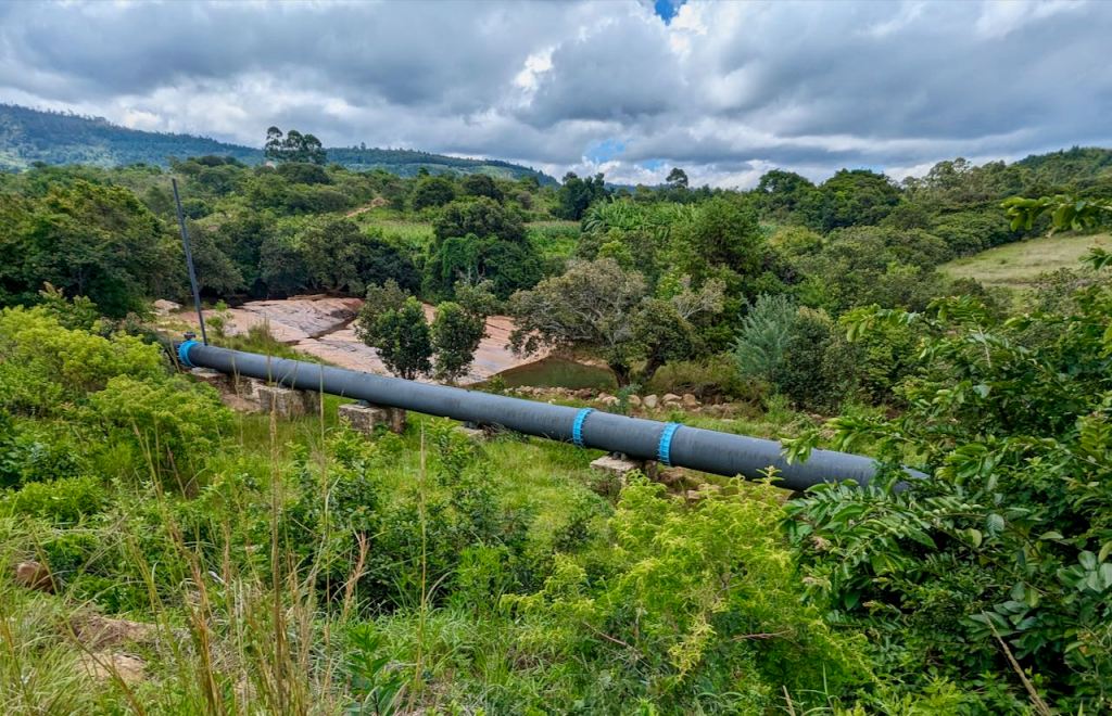
Basically the whole river goes down 100m inside the penstock so there is only leakage in the river channel for this period – see the slab to the right in the picture below.

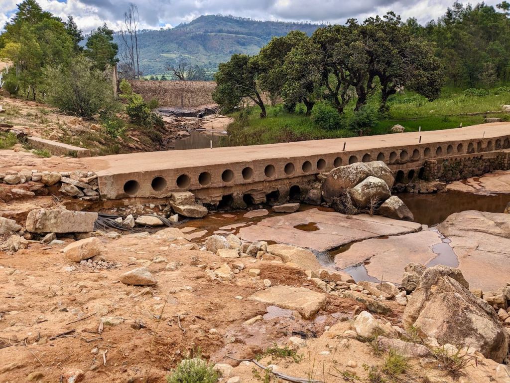
We are currently (end January) in a lull in the rainy season, however this is the rather drab ford / bridge below the reservoir:
There is nothing to do. As a local resident we would rather have the electricity than a pristine river however bad that sounds. But let’s not get started on the topic of electricity generation.
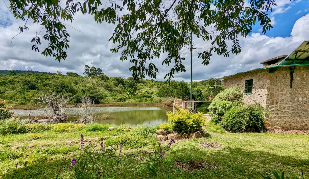
The reservoir and guard house for the inlet to the penstock – which has to be regularly cleared of debris to stop sticks etc finding the turbine blades at high velocity:
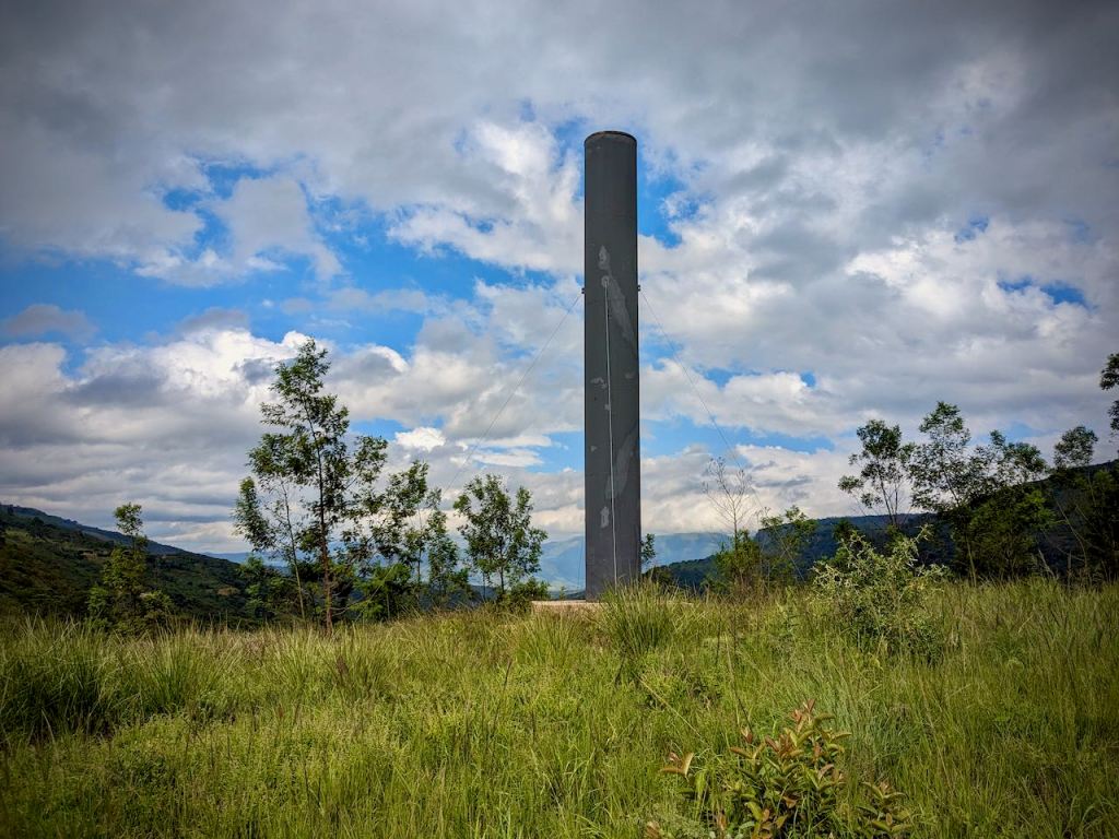
And finally for Tsanga B, this is the impressive looking breather pipe, to equalise pressure in the penstock. It just sits there mumbling away to itself somewhere deep inside:
Another hike now back up from the valley floor to Dazi making 500m climb overall from here to camp 2.

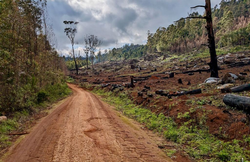
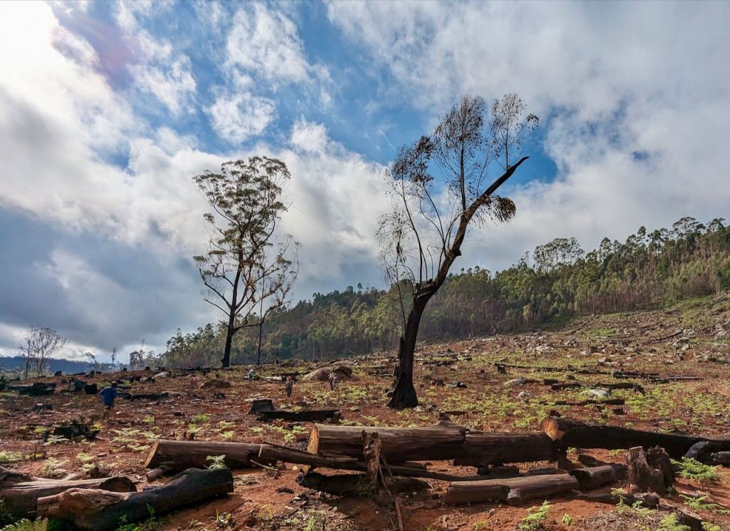
Tramping back on the Dazi – Troutbeck dirt track there was another cleared area of logged gum trees – this time however with a nice surprise – the whole area was being replanted!

Had to call for a lift for the last 2km or so up to the house – feet problems!
Oh, and I just caught this at the 90 degree left turn into the Troutbeck valley when coming from Dazi – another plateau-like mountain after Tsanga B!

Plus, I need to go somewhere where I can get a good picture of the Boyakura plateau itself!


Pingback: Gairezi – Honde Pass | Eastern Highlander
Pingback: White Mountain, between Troutbeck and Dazi | Eastern Highlander